Flat white
28th February 2020
**A SPECIAL AVALANCHE STATEMENT HAS BEEN ISSUED FOR ALL OPERATIONAL SAIS AREAS
COMMENCING FRIDAY 28TH AND OVERNIGHT INTO SATURDAY 29TH FEBRUARY. **
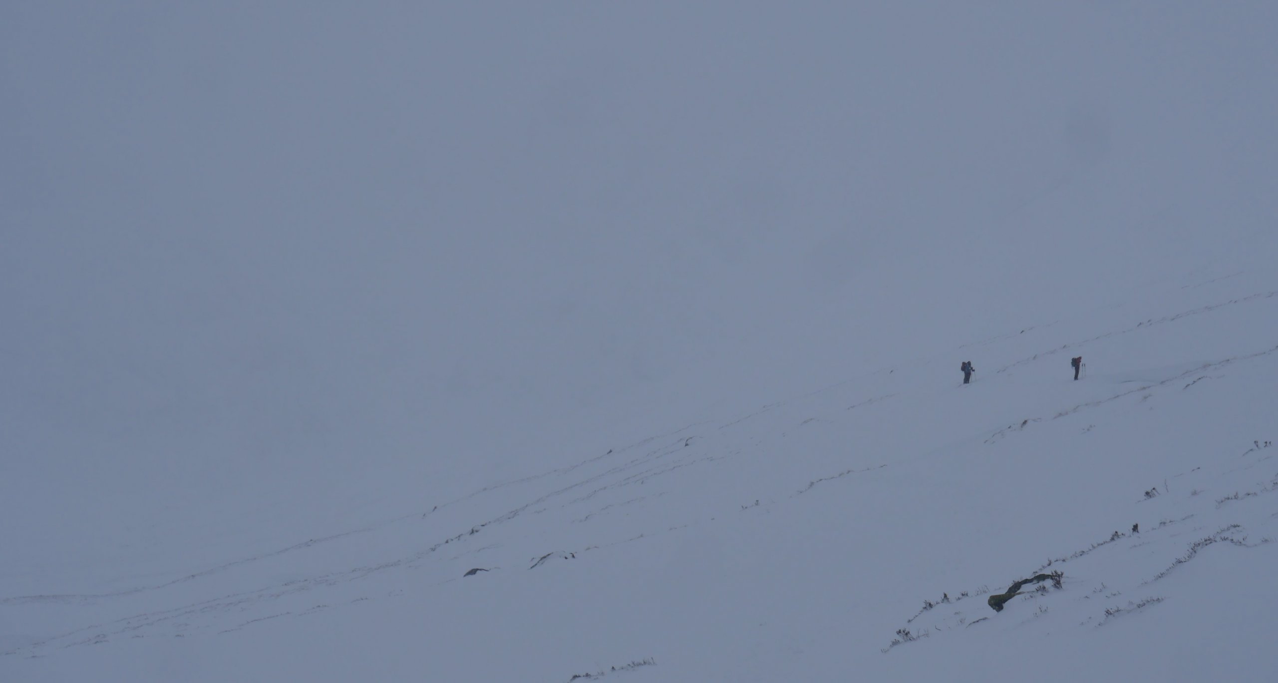 (Above) Very poor visibility all day today. A couple of people on the main Coire Ardair path provided what little contrast there was. As you can see, good snow cover. Five to six cms of new fresh snow at 300m on the path first thing this morning, rising to 10cm at 600m and much more at higher altitudes. More organised snowfall commenced later in the morning when the wind shifted to south easterly.
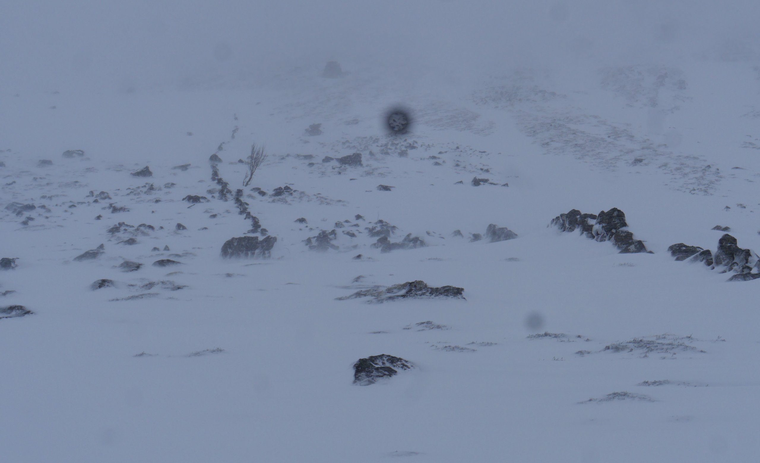 (Above) Some of you may have noticed a broken wall that extends uphill away from the main Coire Ardair path just beyond the half way point. It’s not always easy to see when there’s poor snow cover but it was well featured today. The wall ascends up to a re-entrant/gully feature we sometimes use for formal snow observations. It has a beautiful outlook to the Post Face in upper Coire Ardair as well as an elevated front row seat in the amphitheatre that is Coire Chriochairein. Goes without saying, views and outlooks were notable by their absence this morning. In ascent, best approached about a 100m to the right of the wall as you look at it in the photo. Crossed the wall today in transit to Coire Chriochairein.
 (Above) The wall that extends up to what we call Wall Gully. It’s a handy, if occasionally steep, route off Sron Choire a Chriochairein. Once or twice I’ve seen ski descent tracks close to the line of the wall. Facing south, it’s a fun way down to the main path in spring (or corn snow) conditions when overall snow cover is good.
 (Above) The crags in Coire Chriochairein provide momentary contrast at today’s formal snow observations site. This is just prior to the snow showers commencing, after which the visibility became even worse. There’s quite a lot of snow on all recent lee slopes.
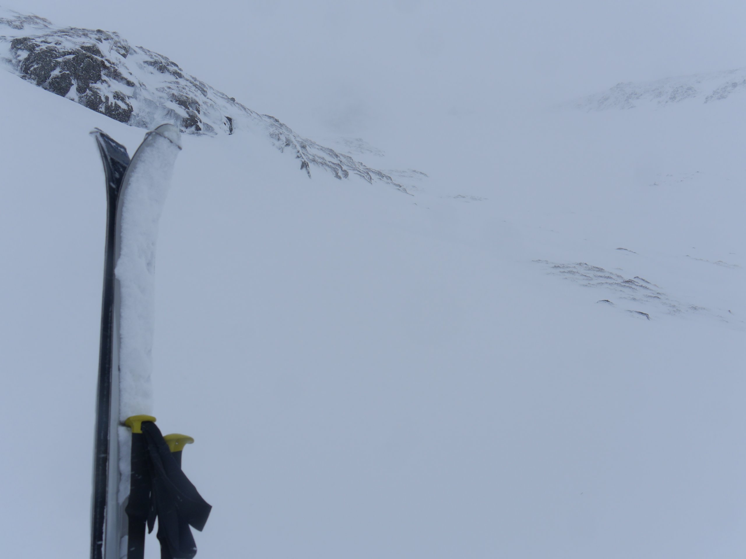
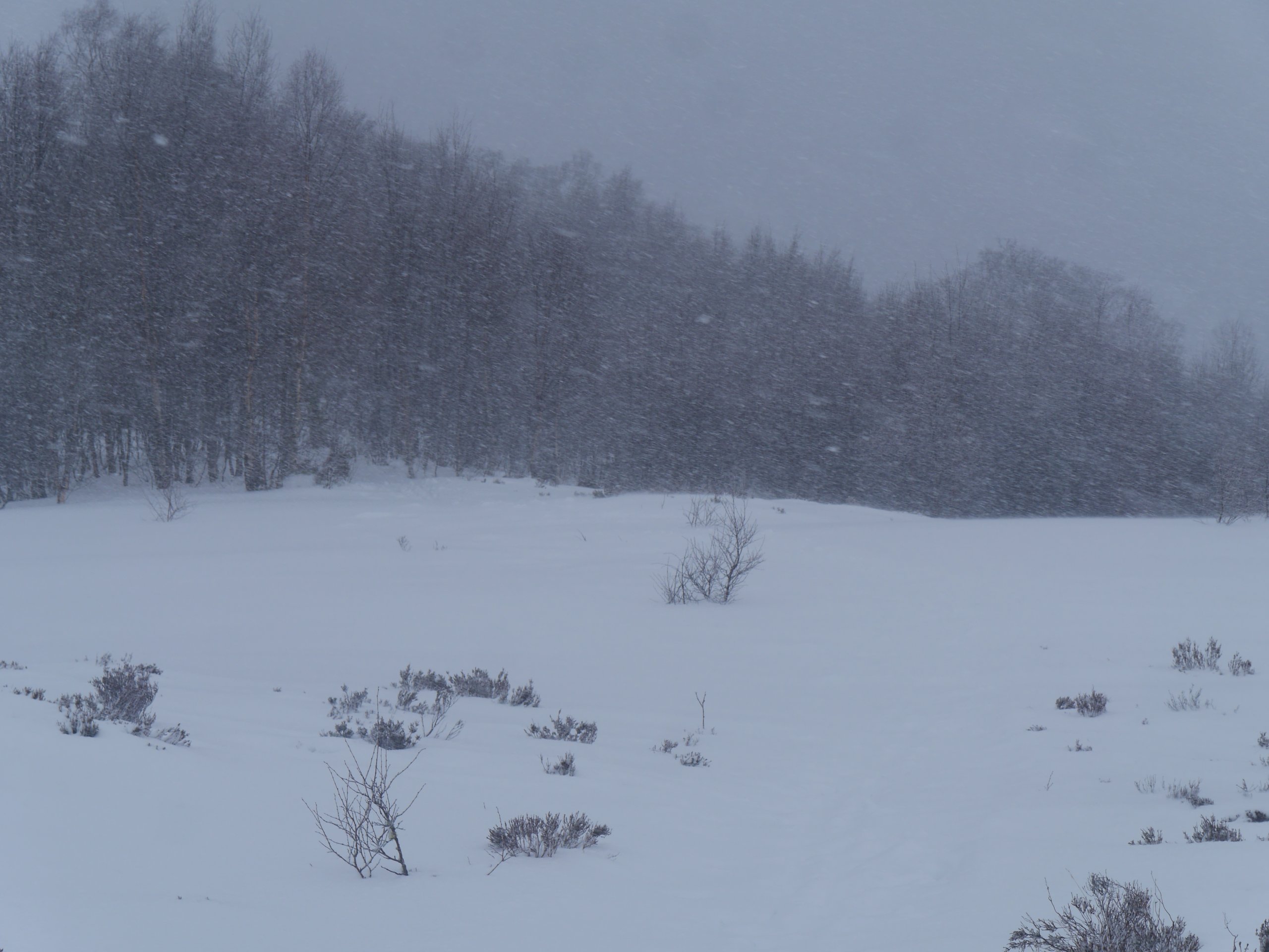 (Above) Snowfall intensified when returning to the juvenile birch above Aberarder.
The Special Avalanche Statement.
We’re expecting a period of poor stability overnight Friday 28th into the early hours of Saturday 29th. The bulletin pertains to most of the SAIS areas.
Those of you stepping out onto the hills tomorrow may find stability to be quite good, but only if you make a later start! Read on.
Because we have quite a lot of fairly deep, extensive and relatively unstable snow on some aspects, we’re likely to see some avalanche activity overnight and into the early hours of Saturday. Have a look at the graphic below. Note the high freezing level and milder air temperatures overnight and in the early hours. In conjunction with some rain at all levels, this will lead to a spike in poor stability.
Once the freezing level drops rapidly at around dawn the remaining moist or wet snow in going to freeze up, become quite crusty and much better stabilised. We have some snow showers to follow during the day but because the period of thaw/freeze has ‘wiped the slate clean’ we see this as a separate new, limited snow hazard of much lower magnitude.
The situation is much worse over on the Ben, less so here at Creag Meagaidh but serious nonetheless.
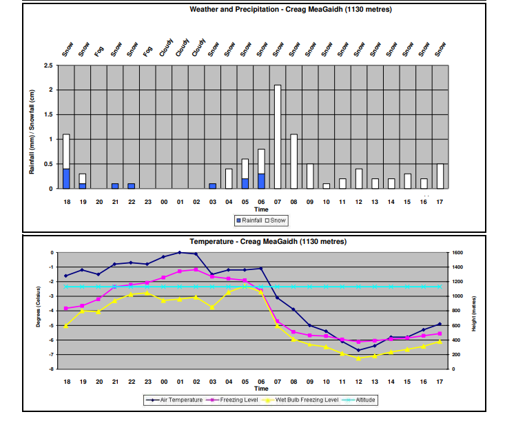 (Above) Creag Meagaidh’s Met Office forecast for the latter part of Friday 28th and Saturday 29th February.
Comments on this post
Got something to say? Leave a comment


