Wind
26th January 2015
Wind – the biggest factor (snow and people aside) in creating avalanche potential.
Again, a telling story from the drive to work of what to expect.  Coire nan Gall,  albeit it at a lower elevation but nonetheless something of an analogue for our main area of interest Coire Ardair.
Below 2 photos taken from different locations showing snow cover at same elevation but of differing aspects of the same coire.

Lee North East & Easterly aspects of Coire nan Gall

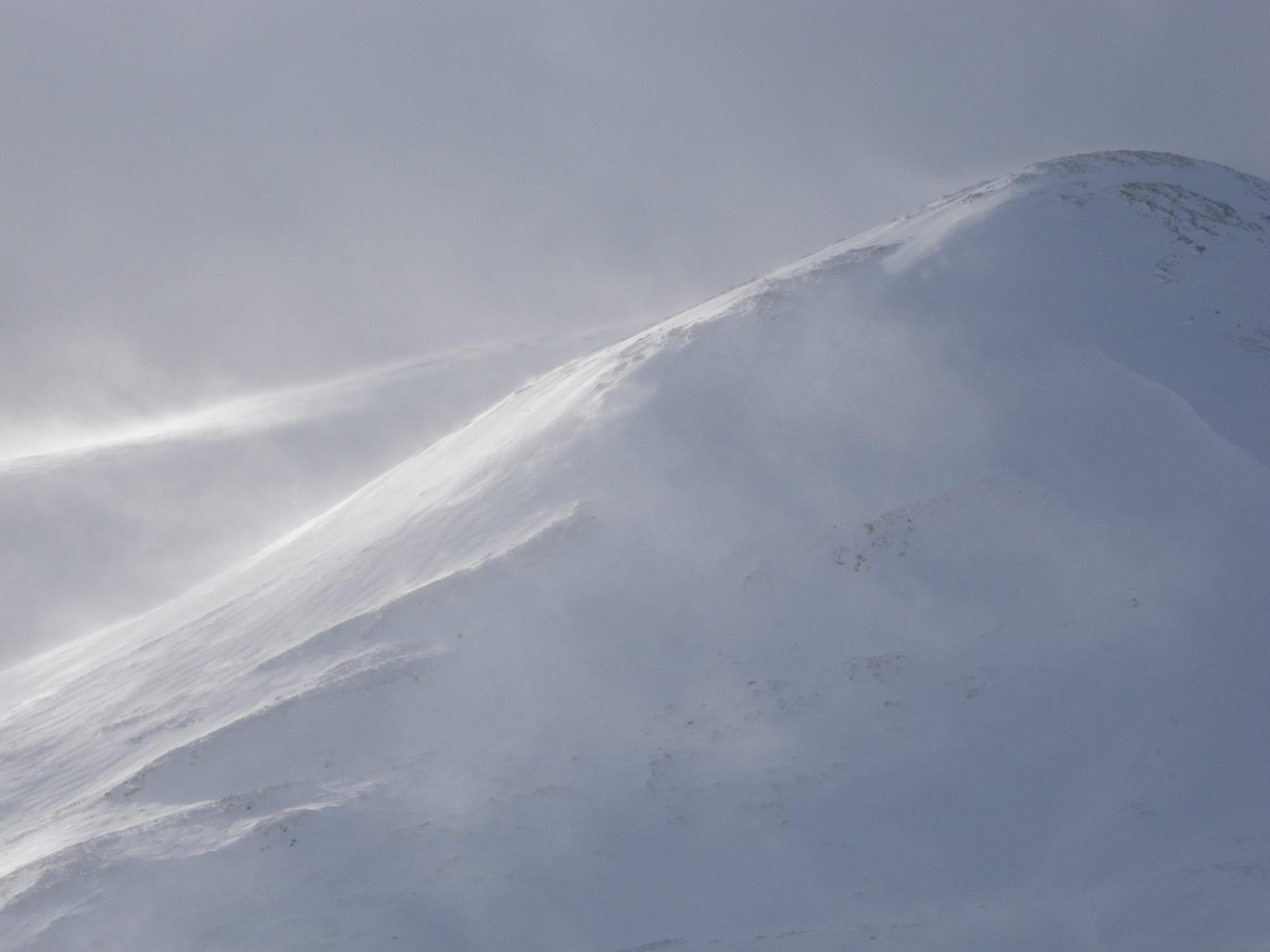
Windward & generally Westerly aspects Coire nan Gall
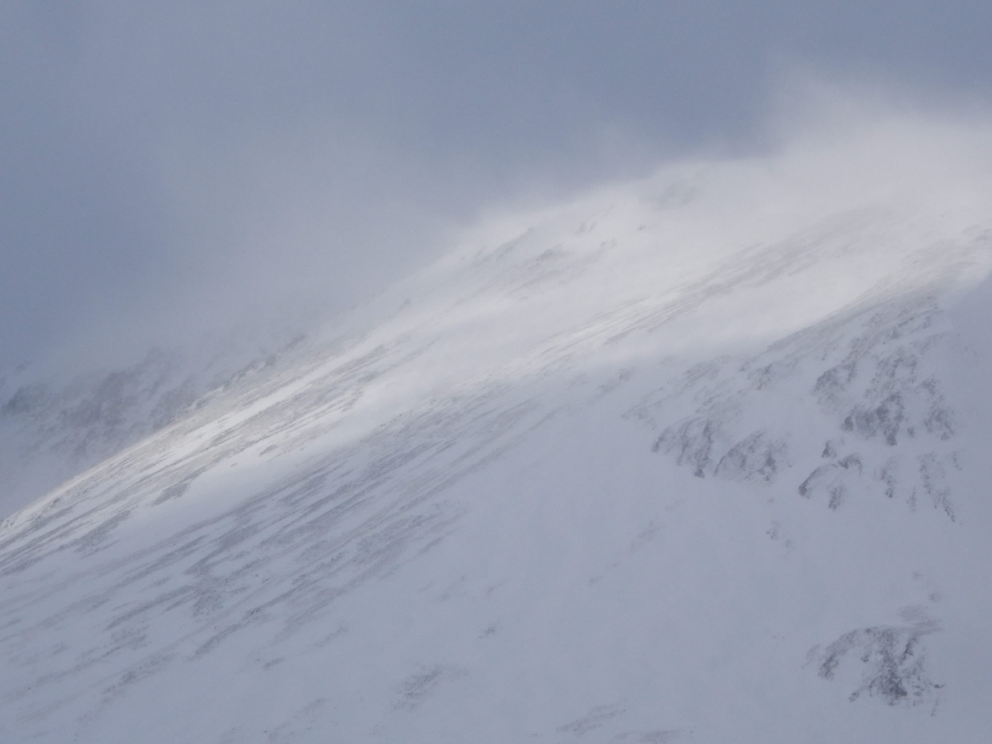
Spindrift blowing from high ridgelines for much of the day
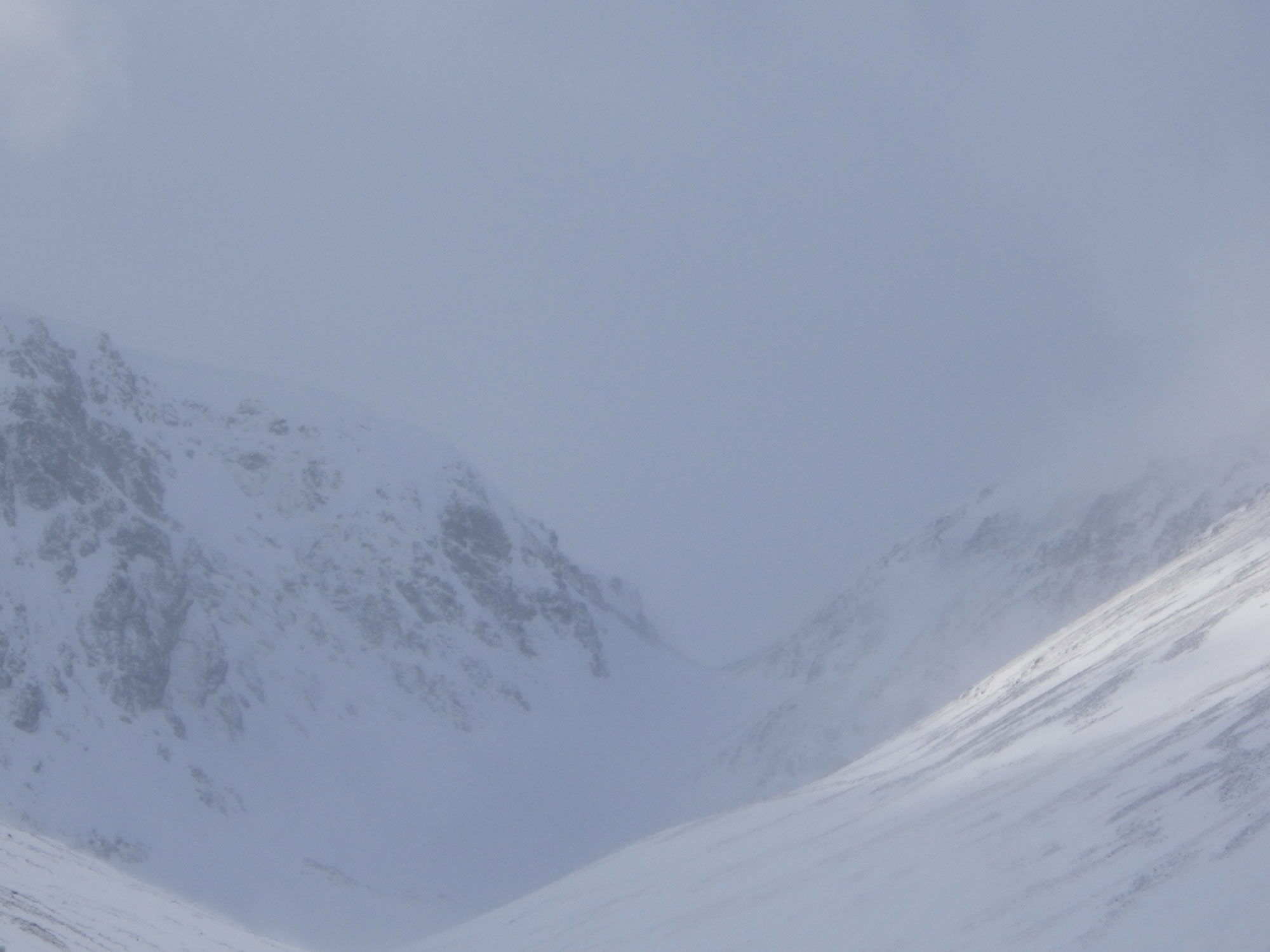
Views of Meagaidh’s ‘window’ today, seen between the showers.
Windslab forming in high, sheltered lee mainly NE to E locations.
Comments on this post
Got something to say? Leave a comment


Grant Duff
26th January 2015 6:01 pm
A lot less snow than Saturday on the lower reaches of Coire nan Gall your photo shows. I’m still so jealous of your drive to work!
meagaidhadmin
26th January 2015 6:35 pm
Yes, unfortunately the thaw did it’s damage – still, some top up cover at higher levels today and it looks like we will keep this for a spell yet.
Many thanks for your comments