Deeper high level snow in places
6th January 2021
Covid -19
Â
The Scottish Avalanche Information Service issues information to support permitted activity under current Scottish Government guidance.
Please be aware of current mandatory travel restrictions in Local Authority areas within Scotland and respect local communities by referring to Scottish Government guidance and safe route choices for exercise.
Â
This blog is intended to provide hazard and mountain condition information to help plan safer mountain trips.
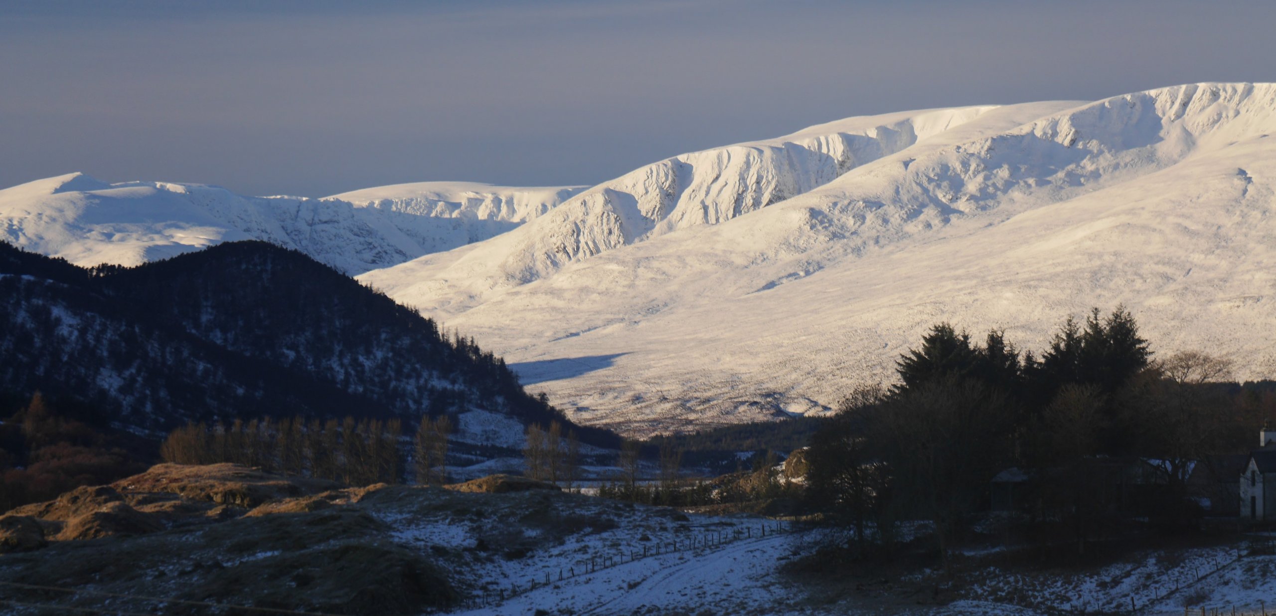
(Above) Left to right (with snow): Sron a Ghoire, the Post Face of Coire Ardair, Coire nan Gall, and Coire Dubh nearest. Snow cover above 300m on Wednesday.
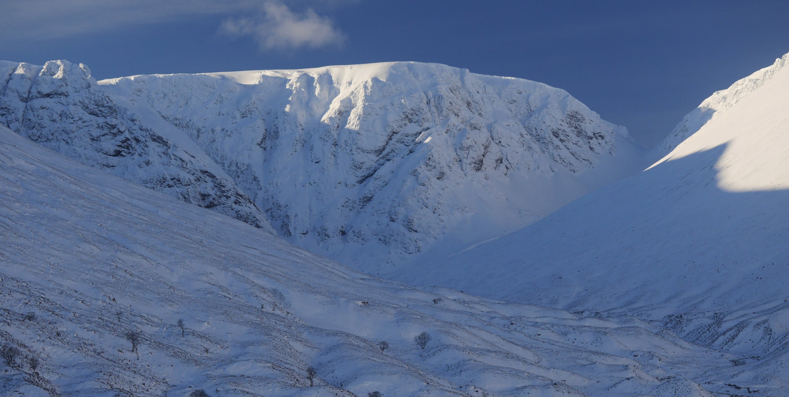
(Above) The Post Face of Coire Ardair. Bright and sunny today but persistently cold all day in areas such as the North to East facing crags shown here.
North to South East aspects expected to see new weaker windslab development by the end of the day tomorrow, Thursday.
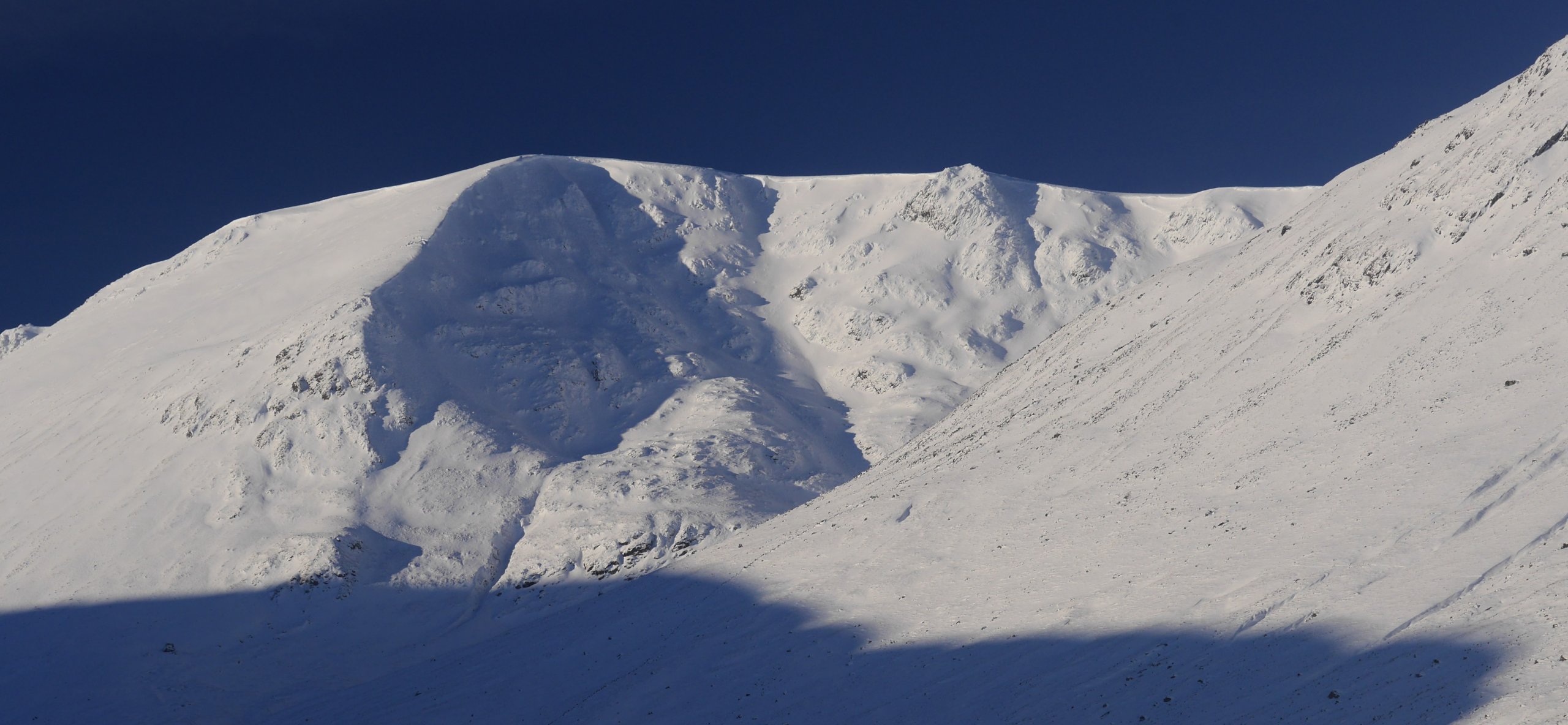
(Above) South-facing sun-exposed slopes near Coire Chriochairein. Snow cover on all aspects at the moment but marginally more extensive on south facing slopes. The heavily shaded area in the photo below a cornice line faces ENE. More cornice development expected during the day.
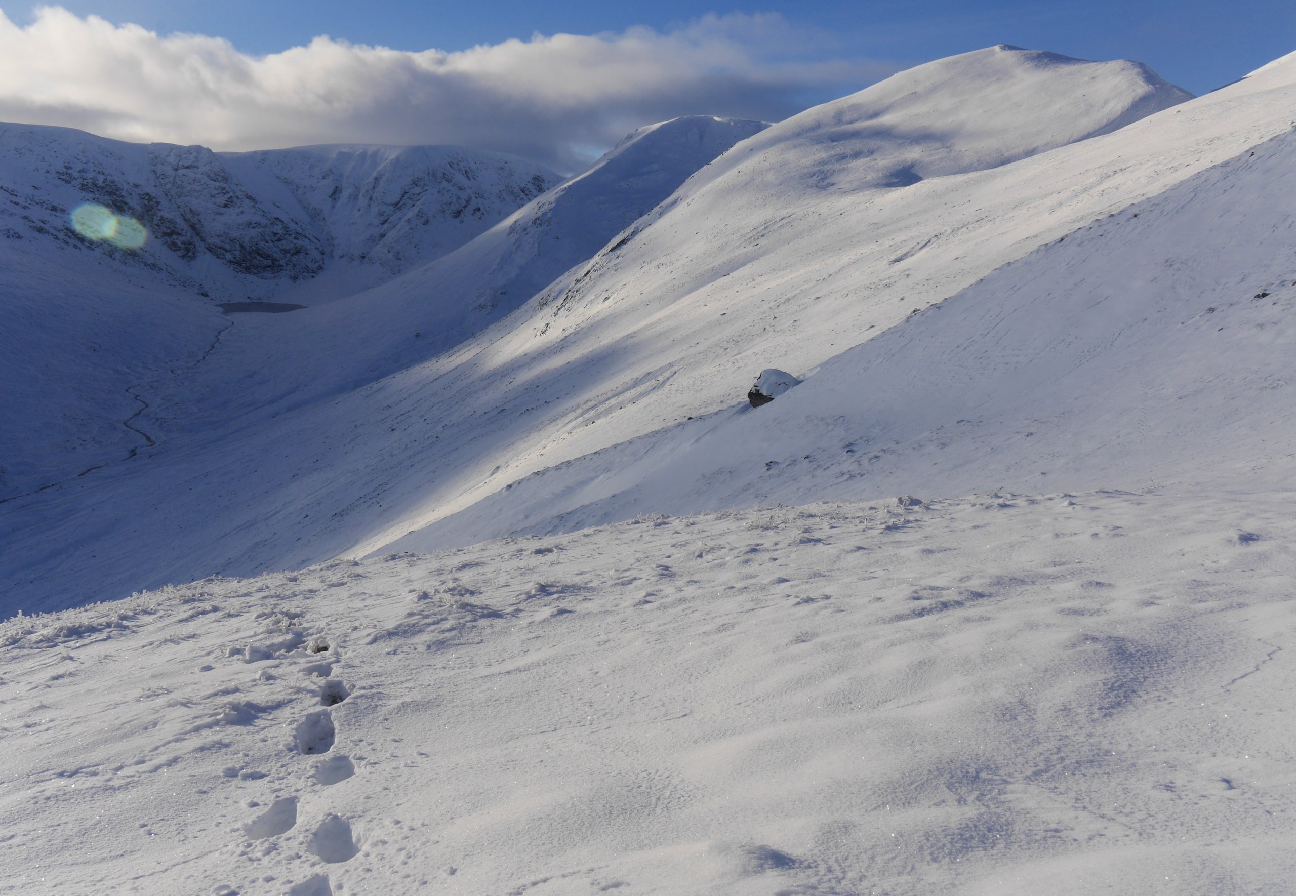
(Above) Approaching the higher ground close to the top of the Carn Liath plateau. Transition to quite deep snow can be abrupt at times on the southern side of the Carn Liath plateau watershed.
Comments on this post
Got something to say? Leave a comment


