Wintery Outlook
30th January 2022
Storm Corrie will push east through Scotland this evening and overnight, bringing gale force winds and much needed snow. After a drier morning snow flurries will continue in the afternoon as we maintain a cold Westerly to North-Westerly flow.
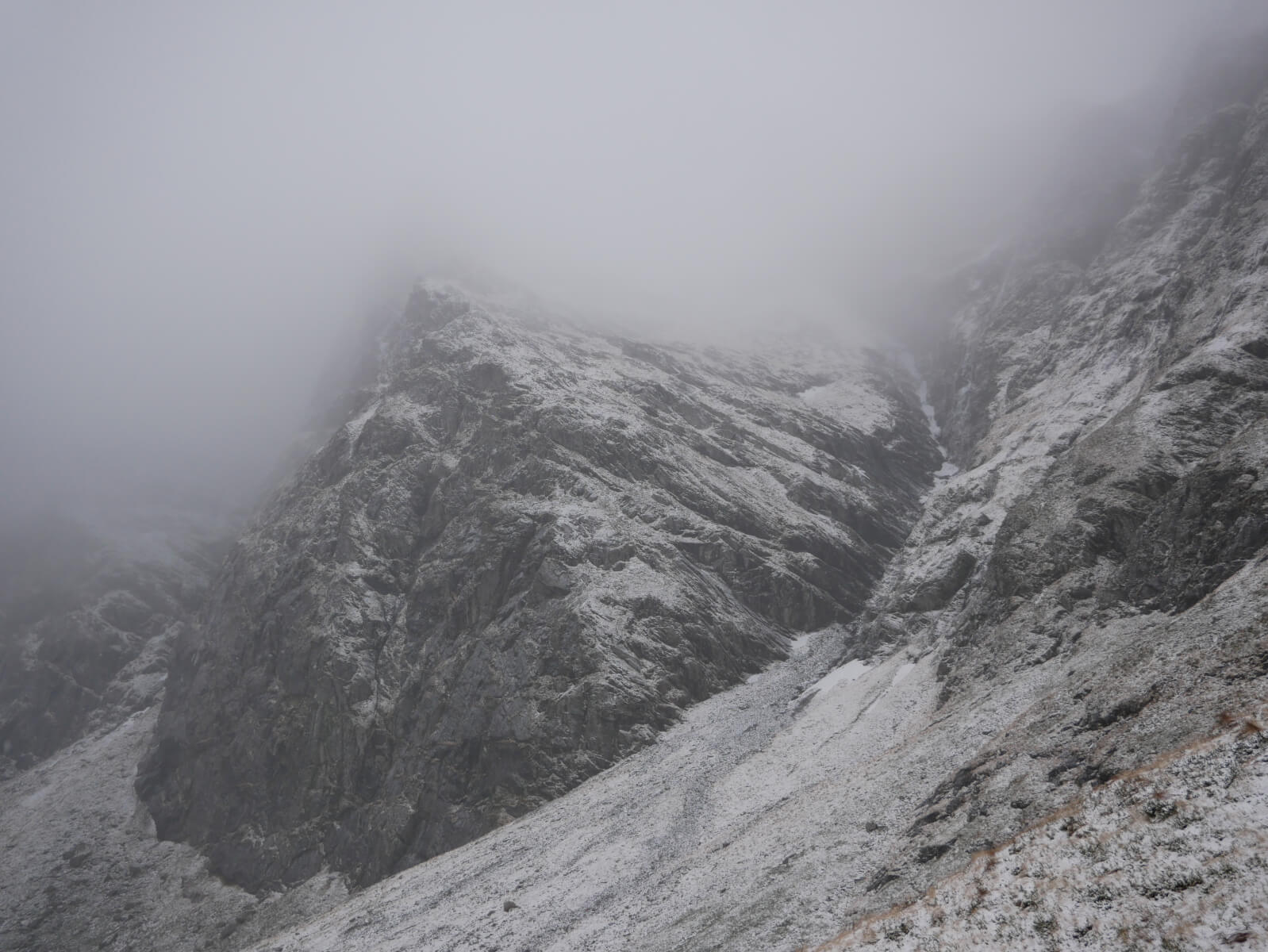
Today was fairly monochrome, with poor visibility above around 850 metres for most of the day. During the frequent snow showers the sky was a heavily laden battle ship type of grey, vaguely reminiscent of an Arctic depression. Snow amounts remained small even at midday, with just a dusting to around 600 metres. The bulk of the precipitation was starting to arrive as I left the coire, but I was still able to observe some isolated accumulations of windslab in wind sheltered locations.
This windslab contained instabilities where it had achieved greater depths of +15cm either over the exiting hard snow or bare ground. These will continue to build as the storm tracks through and will be mainly confined to North, North-East, East and South-East aspects above 850 metres. A welcome return to winter. The avalanche hazard will be moderate.

Lochan a’Choire in Coire Ardair. I met two wild swimmers today on their way back out of the coire. In my enthusiasm I asked if it was cold, and received the response that it was indeed a bit chilly. This was a very gracious response to a stupid question – of course it was cold!!!

Old avalanche debris on the apron below ‘Cinderella’ in the Inner Coire. Any isolated patches of old snow are very hard and icy. Footpaths are also covered in verglas and water ice in some locations, care is required and a “note to self” that winter has returned requiring crampons and axe etc.

‘Pinnacle Buttress’ with ‘Easy Gully’ just to the right. Sadly not much snow in evidence at this elevation yet.
Comments on this post
Got something to say? Leave a comment


