The calm before the storm.
20th March 2024
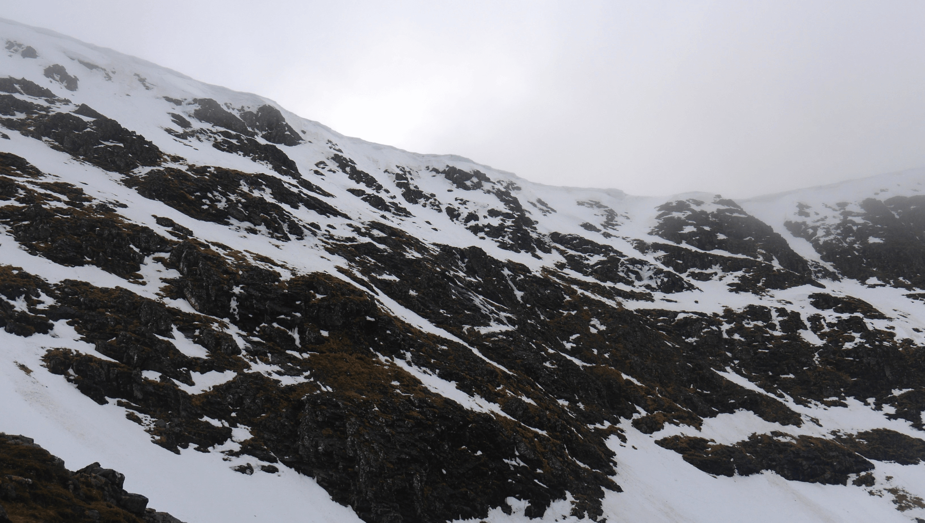 (Above) In to Beinn a Chaorainn today to check out the cornices around the E-facing coire between the two southern summits. With a lot of rain and mild temperatures in the forecast for Thursday, a quick look/see at what might fall down seemed a prudent mission for the day. Colder overnight temperatures have firmed up these particular ones – ditto the surface snow above 950m – but a thorough warming and wetting will definitely not improve the stability of these snowy cantilevers.
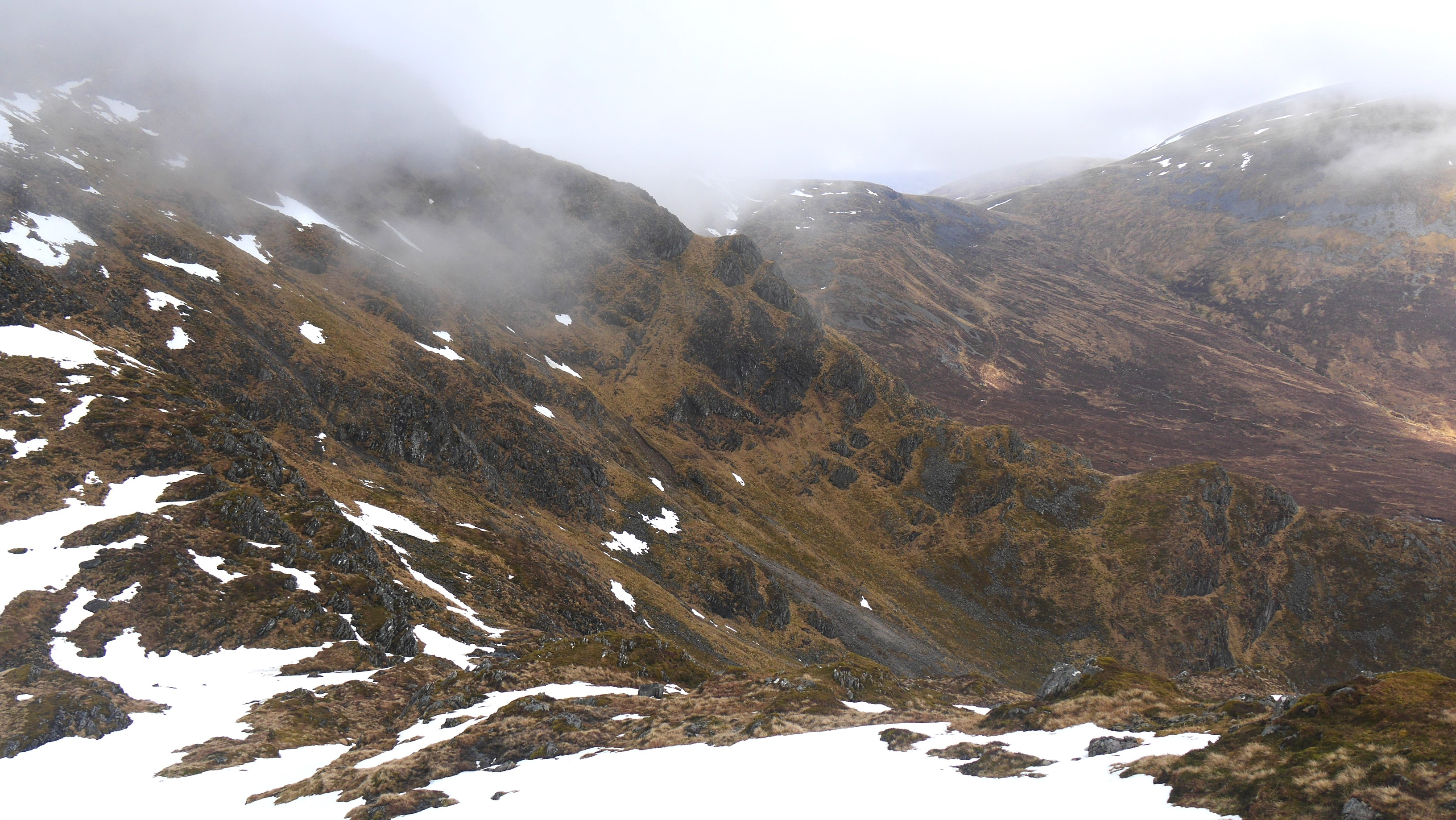 (Above) The East Ridge of Beinn a Chaorainn – in profile, middle distance. Pretty much devoid of snow on this S-facing side, save for the short exit ramp at the top. Distinctly patchy cover in many places on our area now. More snow loss expected in tomorrow’s meltdown, too!
 (Above) Hardy wee conifer at over 900m. I included this particular ‘exotic’ softwood sapling in a blog post a couple of years ago. Seems to be doing OK though there appears to be evidence of browsing on one of its branches. I’m conflicted about high altitude exotic species and this one in particular. One blog respondent suggested I remove it as it’s non-native but it seems quite harsh treatment for such a hardy example hanging on in this extreme environment. (Yeah, I know, musings of a sentimental fool!)
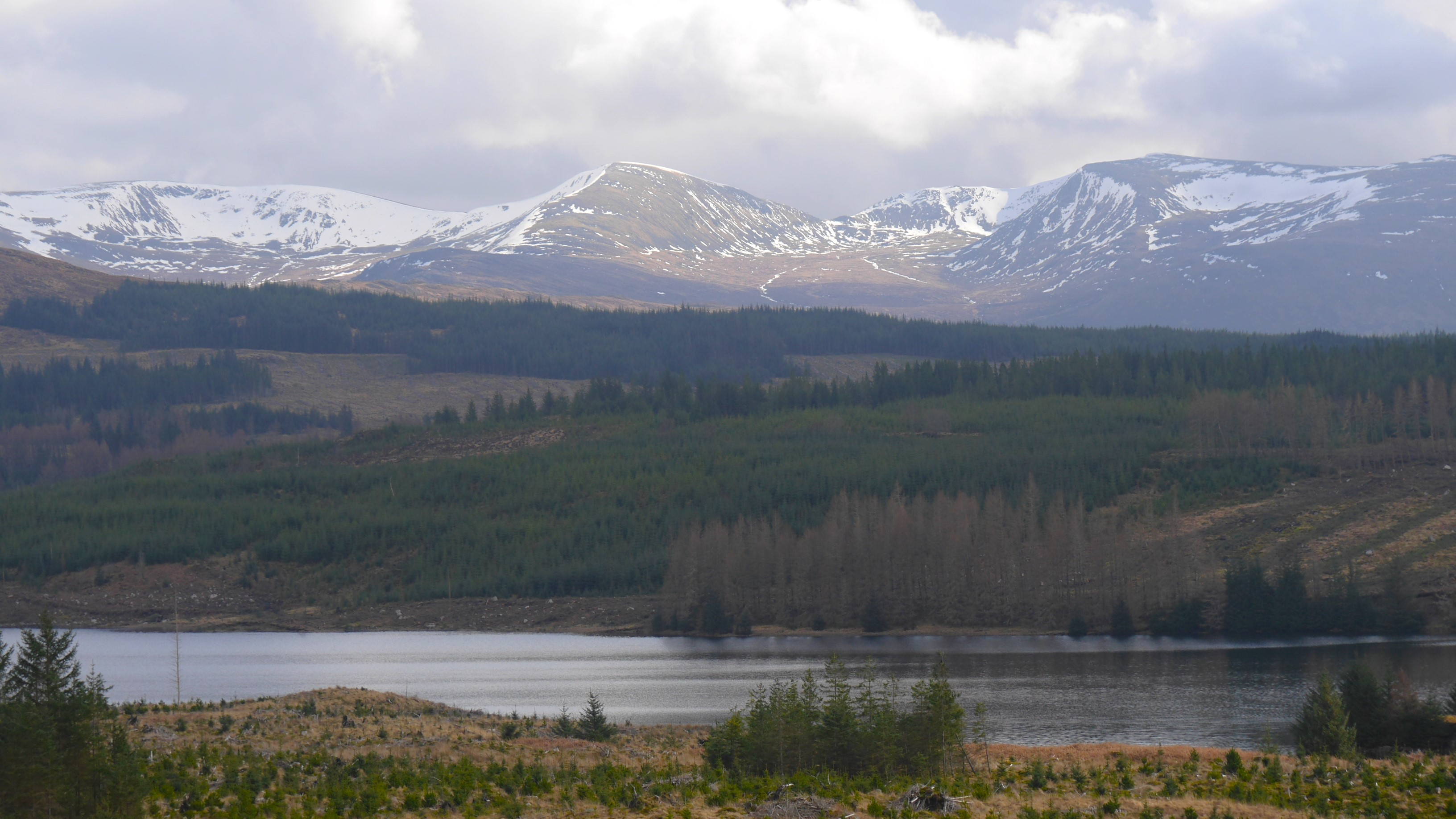 (Above) The view south. Snow, rock, forest & water. Left to right: Geal Charn 1132m, Aonach Beag 1116m and Beinn Eibhinn. Looking quite a lot snowier over to the south of us. Maybe I’ll plan a trip into Ben Alder sometime soon to see just how much snow there is over there?
Batten down the hatches! SW winds 50, gusting 70…or greater…with rain during the morning.
Comments on this post
Got something to say? Leave a comment