New snow.
9th April 2024
As forecast, some new snow did arrive although it was mostly falling on bare ground between 700 and 900 metres. Above this there are some larger patches of pre existing snow. Wind will have no doubt moved some of the new snow into wind sheltered areas and created accumulations of windslab.
Tomorrow the freezing level is expected to rise to around 2600 metres as a frontal system approachs bringing rain. (see report for more detail).
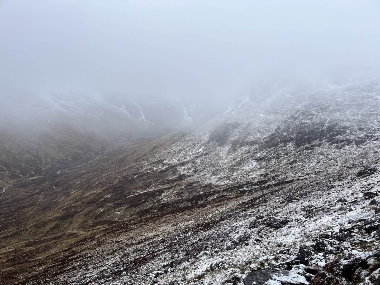
Unfortunately the visibility was poor for observations today so less pictures.
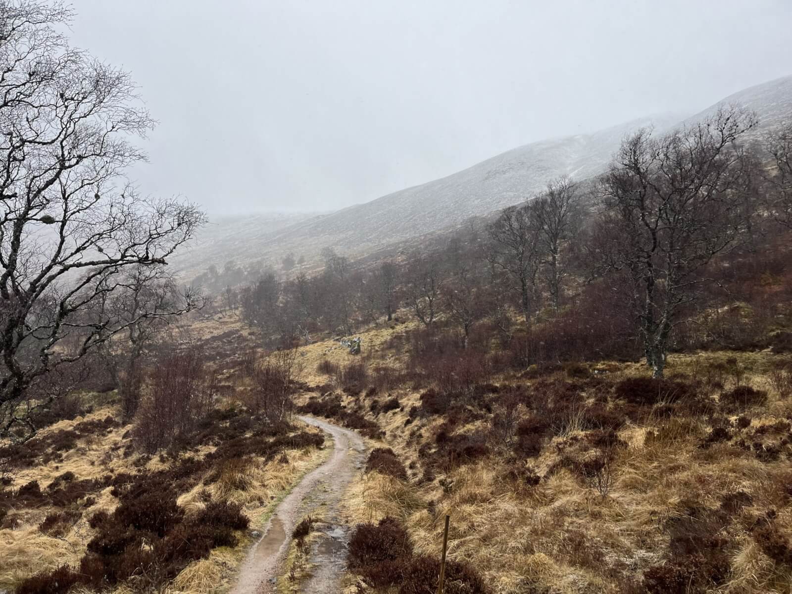
(Above) Coire Adair path.
(Above) Fresh snow down to around 700 metres.

(Above) Looking into Coire Adair.

(Above) An example of some older patches of snow on an East aspect around 850 metres. Not affected by wind at this location. It is estimated around 10cm of new snow fell overnight and in the morning. Showers continued into the afternoon.
Comments on this post
Got something to say? Leave a comment