All change tomorrow
22nd November 2024
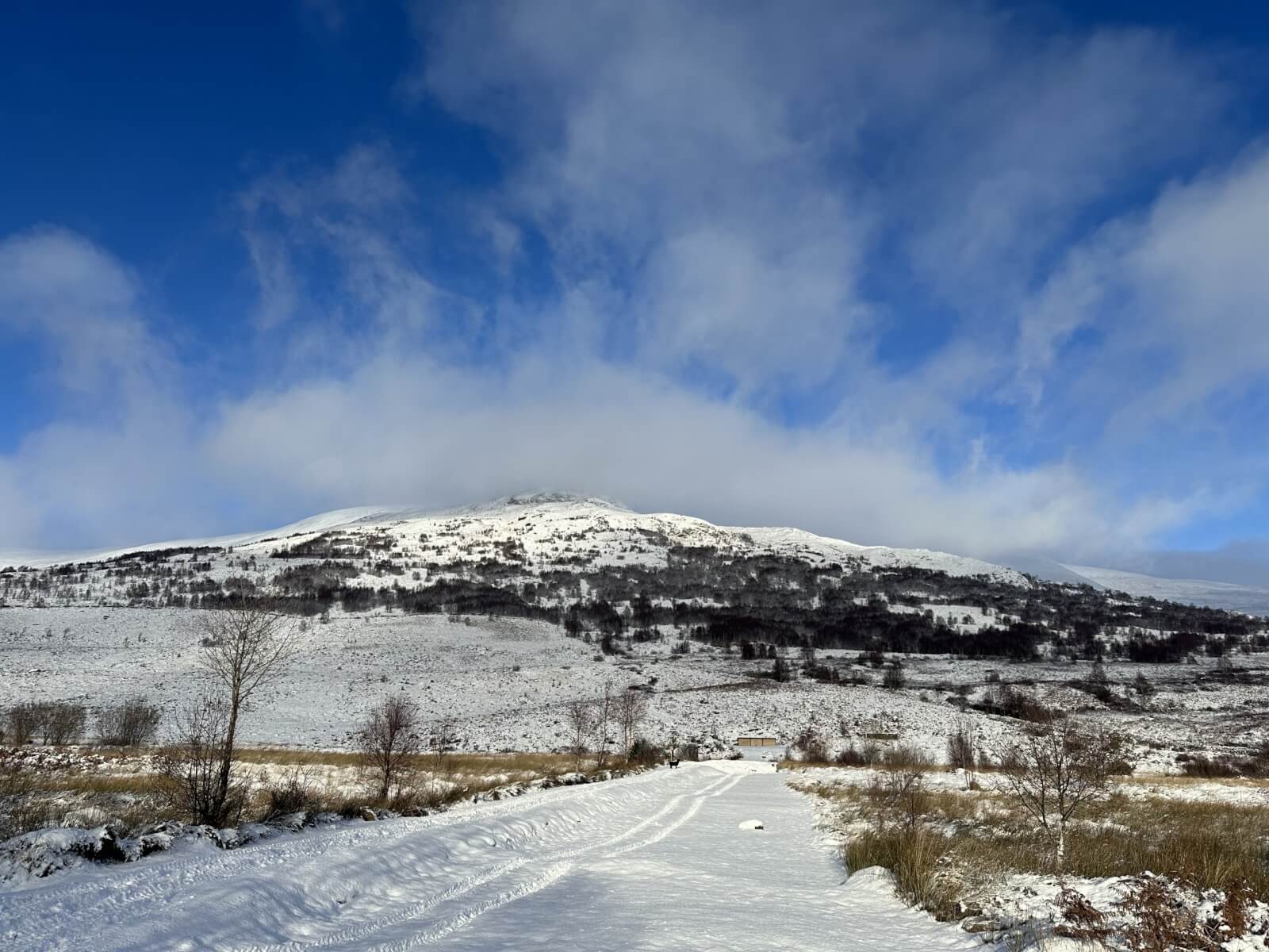
Whilst Creag Meagaidh has been enjoying a light dusting of snow and some generally nice weather this week, it is all going to change tomorrow!
Storm Bert arrives early on Saturday. There will be a period of snowfall followed by rain at all levels. There will likely be some localised instabilities during the day both before the freezing level rises and when it starts to warm up in the afternoon.
South Easterly gales will become established in the early hours and continue to strengthen during the morning producing 80-110mph gusts over the summits.
Meanwhile over at Drumochter
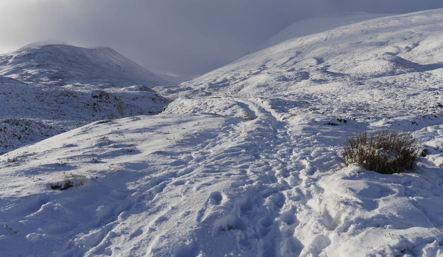 (Above) At 450m looking up the snow covered track that ascends up Coire Fahr from near Balsporran Cottages. Some very lightly drifted snow in places but mainly fresh, unconsolidated cold snow at this altitude.
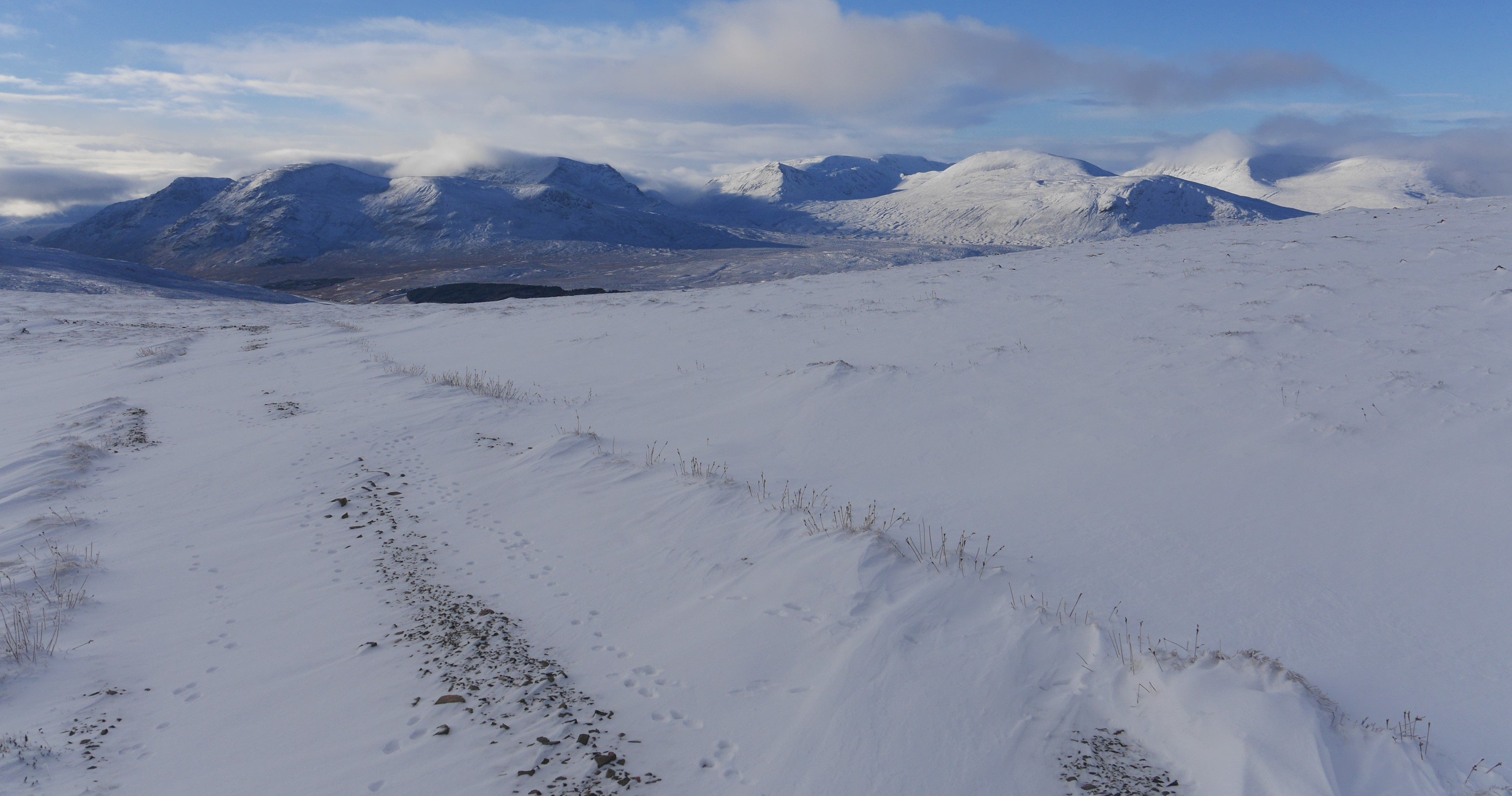 (Above) The view towards Ben Alder, Lancet Edge et al from the bealach at 750m at the head of Coire Fahr. Beautiful bright and cold day with very little wind though there is some evidence of recent drifting though it is still pretty limited in extent and depth at the moment.
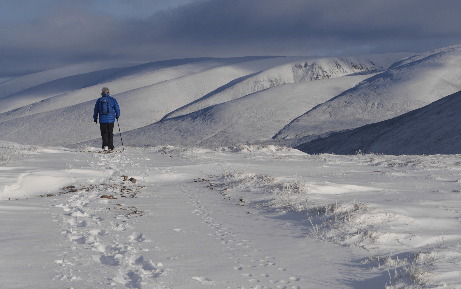 (Above) Looking towards the hills to the east of the A9. The camera makes it look somewhat whiter over there than it actually is.
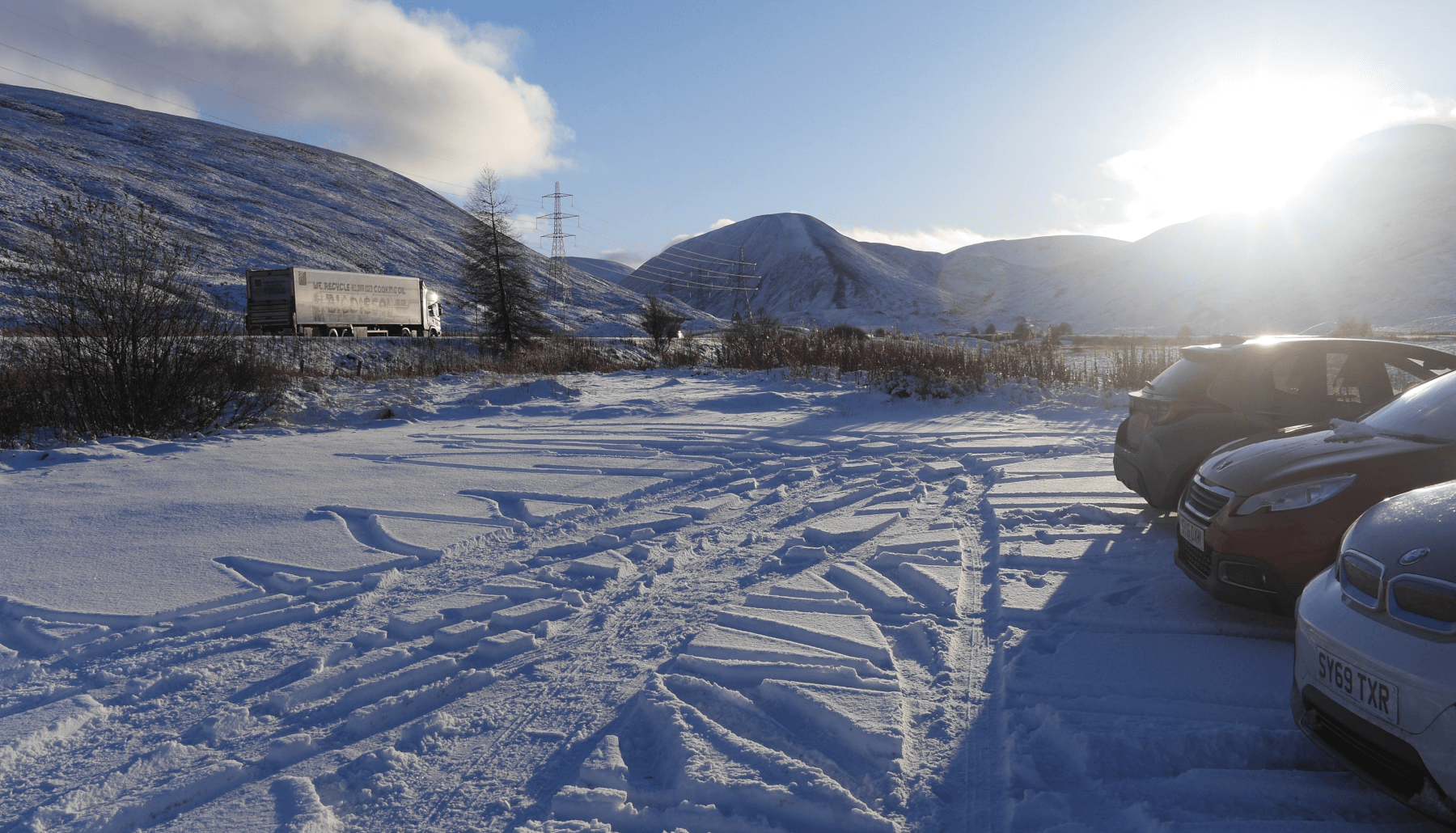 (Above) Free-flowing traffic on the A9 on Friday afternoon but will be quite a different story on Saturday as Storm Bert brings ‘snowmageddon’ and a Met Office ‘Amber’ weather warning centred on the A9 stretching from Dunkeld all the way up to Kingussie. 10 to 20cm of snow expected above 200m and 20 to 40cm above 400m…plus drifting!
Comments on this post
Got something to say? Leave a comment
