Merry Christmas – Only patchy remnants remain
25th December 2024
Merry Christmas from the team at SAIS Creag Meagaidh.
It was a pleasant day on the hill, with unseasonably mild temperatures. It was actually 10 degrees Celsius in Kingussie this morning at 0830. It would have been a melancholy experience if it were not for the absence of rain, and the fantastic sunny spells punctuating the greyness. For the first time in a few days, the cloud base was high enough to get some fleeting views into the high coires where the patchy remnants of winter remain.
The most expensive snow patches are on North-East through East to South aspects above 900 metres, with some isolated patches below this altitude. These will continue to slowly diminish for the time being, although there is the hint of slightly colder conditions returning over the weekend.
On a different note I do like to have a quick look at the Met Information from RAF Lossiemouth, particularly when South-Westerlies predominate. There is often a slight Föhn effect with warmer temperatures on the lee side of the mountains, and correspondingly the Moray coast has a reputation for fine weather…
The METAR today was:
EGQS 251050Z 23012KT 9999 FEW040 13/07 Q1019 RMK BLU.
You can get apps that decode this information, but it is fun to decode it yourself if you are inclined. EGQS = RAF Lossiemouth. This is for the 25th at 1050 Zulu or Greenwich Mean Time (GMT), the wind is from 230 degrees and 12 knots. 9999 is visibility, 10km or greater and there are a few scattered clouds at 4000 ft. Temperature is 13 degrees, (it was 9 degrees at Garva Bridge at this time, and approximately 10 degrees in Kingussie). The dew point is 7 degrees and QNH is 1019 hpa (pressure to give height above sea level – “nautical height”). BLU is a status code, which relates to cloud base and visibility. I only know this thanks to a previous comment on the blog. This picture seems to fit with slightly warmer temperatures to the north-east, and more broken cloud over the coast.

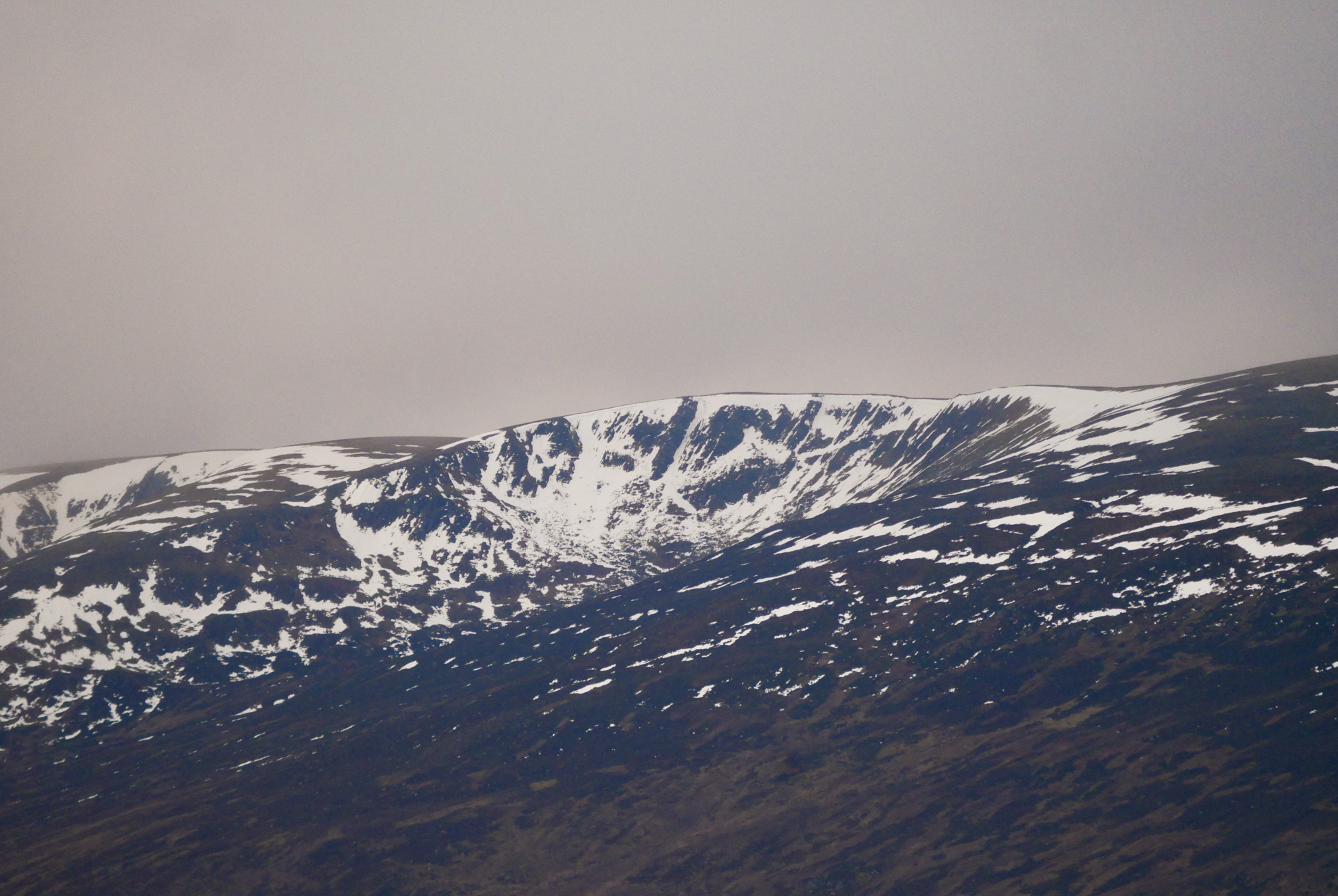
Coire Dubh at the eastern end of the Creag Meagaidh massif. This coire is predominately North-East to South-East facing conveniently representing the aspects with the greatest snow amounts. The coire rim is around 900-910 metres in altitude so the snow here is at least above 800 metres. Coire nan Gall can be seen just on the left edge of the image.

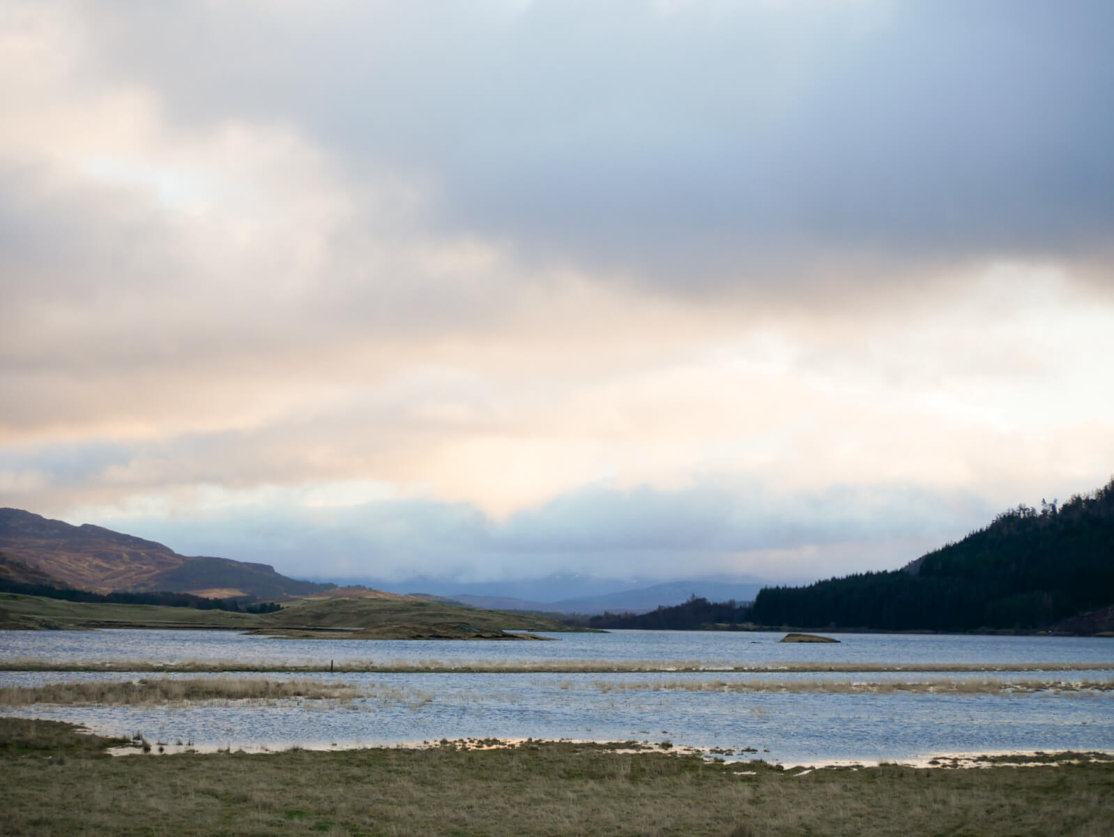
Looking East towards the Spey Dam. Unsurprisingly with high water levels following the snow loss of recent days.

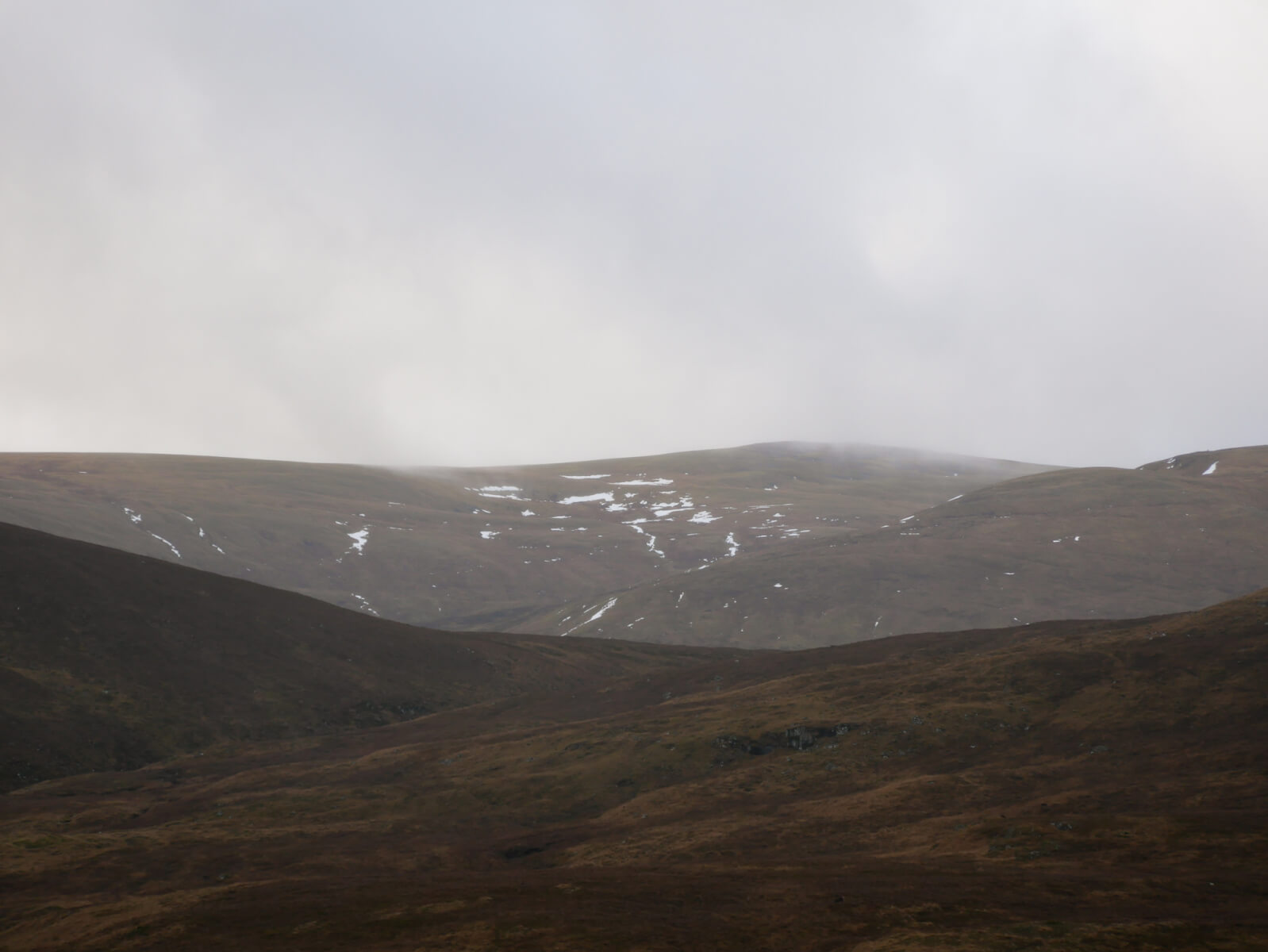
The Northern slopes of A’Bhuidheanach and Carn Liath seen from near Garva Bridge. Snow noticeable by its absence.

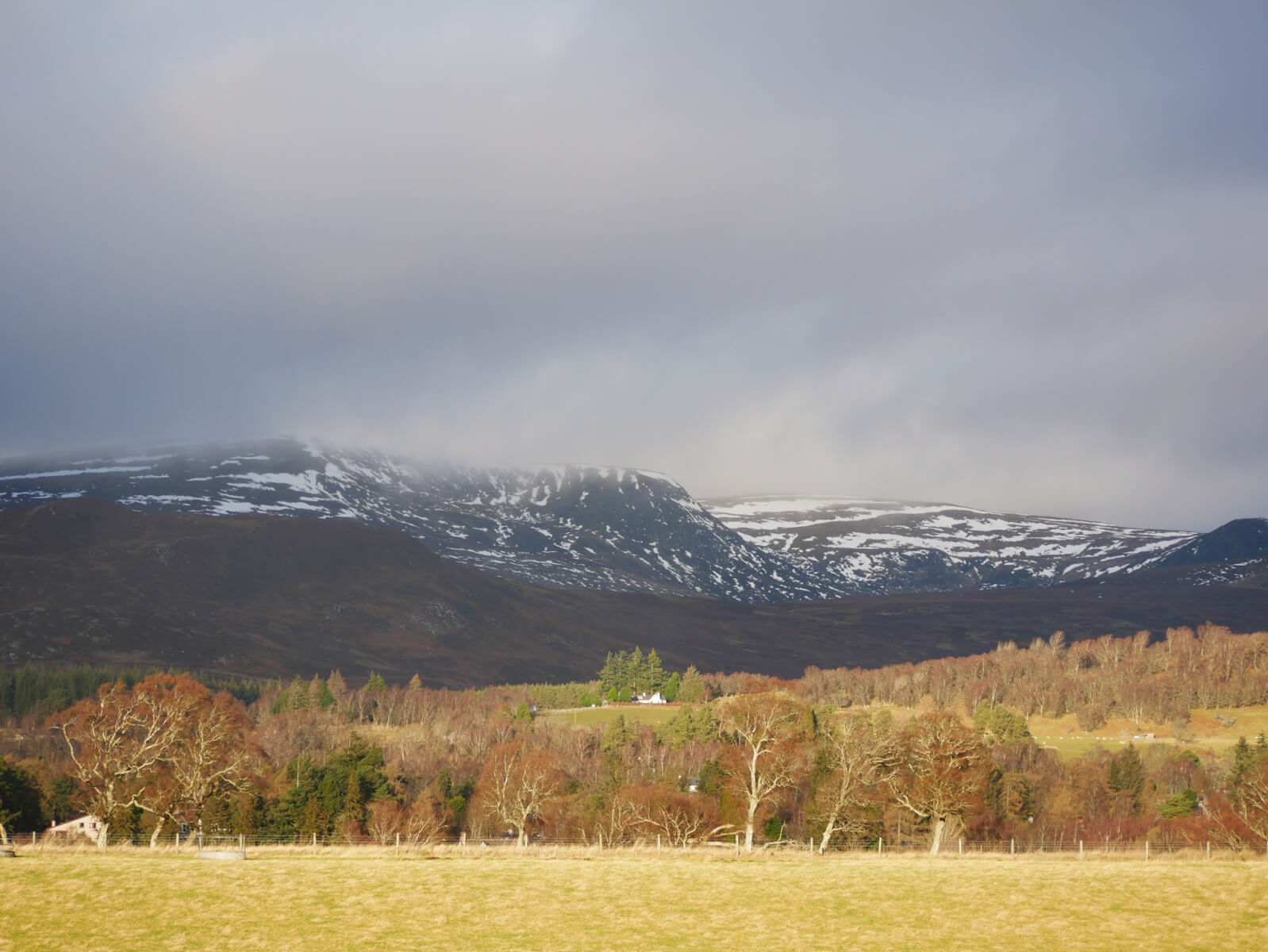
The Monadhliath, although outside the core Creag Meagaidh area, is worth mentioning. These hills seem to be holding the greatest snow. A’Chailleach seen here. Fleeting views into the upper reaches of Gleann Ballach and Gleann Lochain were suggestive of greater extents of remaining snow.
Comments on this post
Got something to say? Leave a comment


