Atlantic weather incoming
11th January 2025
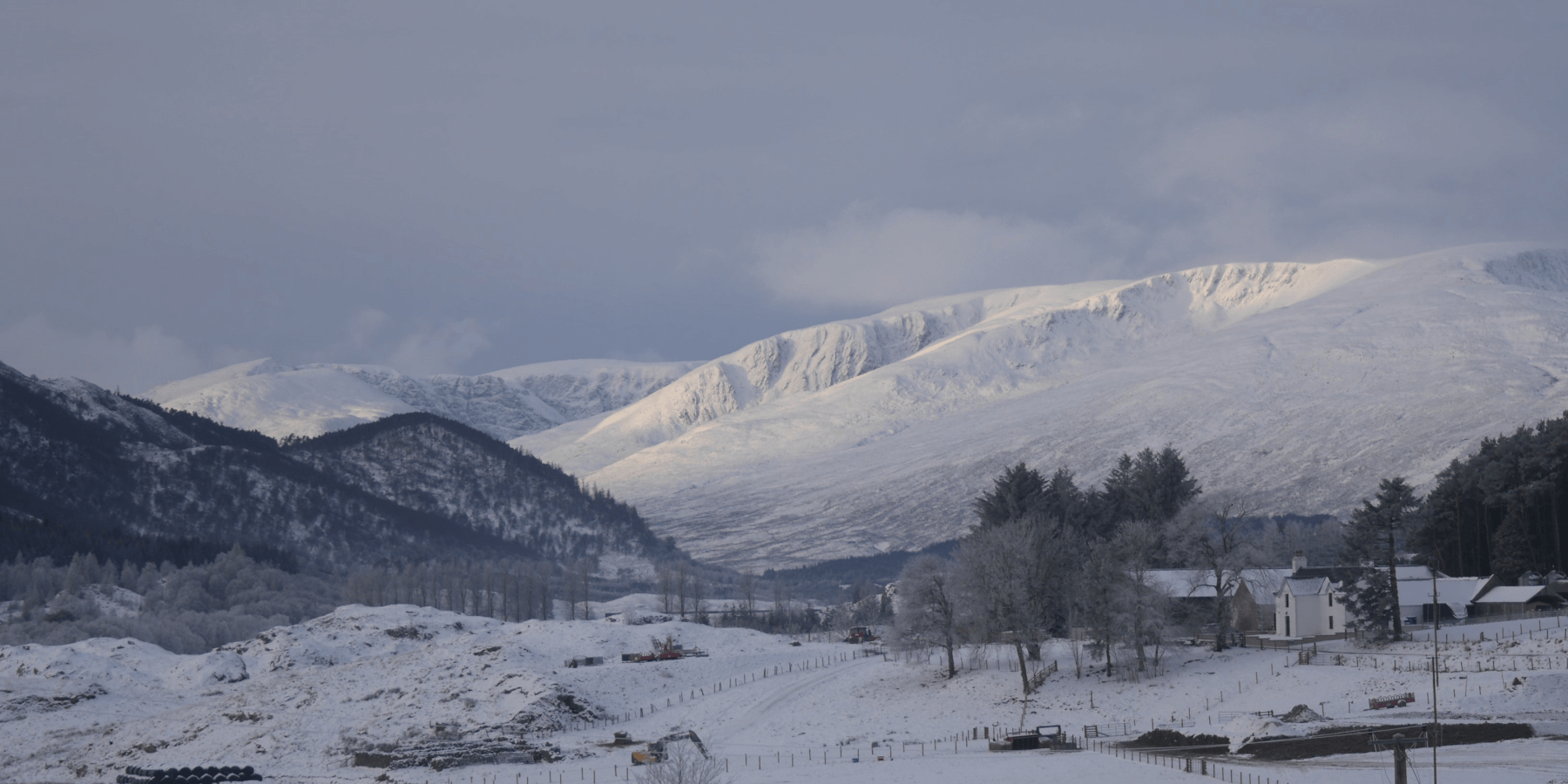
 (Above) The Big Picture. The Carn Liath massif sunlit with Sron a Ghoire and the crags at the far end of Coire Ardair left of centre. Shot taken from near Blargie Farmhouse, Laggan. Like yesterday’s blog photos, deceptively white! Most snow is on SE to S aspects above 950m. Incoming Atlantic weather will strip a lot of the superficial snow from many low altitude places, particularly on Monday. Busy at Creag Meagaidh again today with a nearly full car park. Spotted quite a few hillwalkers striking out towards Carn Liath, making the most of the favourable overhead conditions though winds did pick up a little as I was exiting the hill.
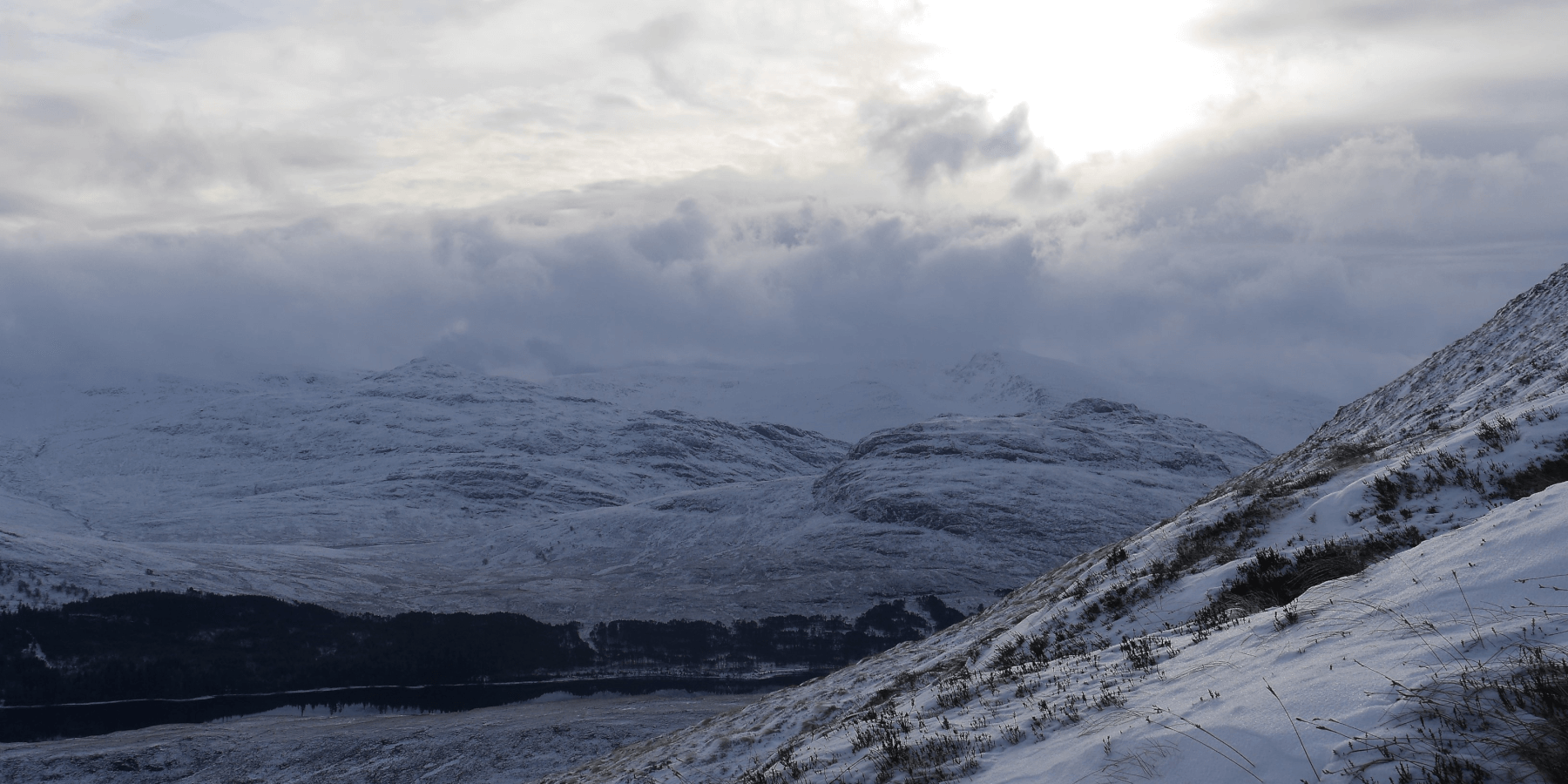
 (Above) Cloud rolling in from the south & west. Looking south from Sron a Ghoire towards Binnean Shuas nearest on right and Beinn a Chlachair.
 (Above) Limited drifted snow build up below 900m on these SE-facing of Sron a Ghoire. Cold-induced weak layers still prominent in field tests, though a denser, stronger and resilient slab is bridging over them which is limiting crack propagation. Expecting to see noticeable consolidation in all drifted snow below 950m overnight and on Sunday. Some residual instability will remain above this altitude on SE to S aspects, and cornices expected to weaken as milder Atlantic air asserts itself progressively during the day.
Comments on this post
Got something to say? Leave a comment


