Thin cover.
6th January 2025
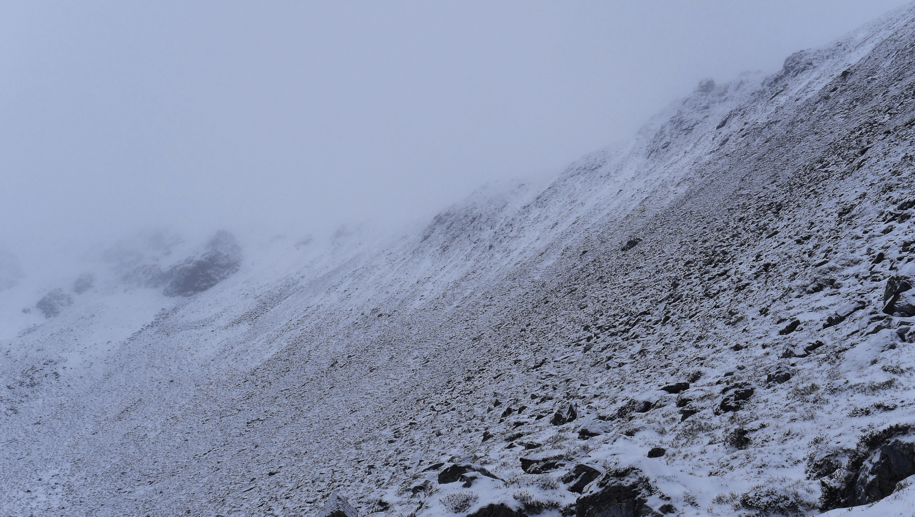
 (Above) S and SW aspects in Coire Chriochairein. The misty skyline is at circa 970m. A poorly resolved photo which I had to doctor post-production in order to get any definition at all. With forecasted NE winds and some snowfall I was expecting some new windslab high on these scarp slopes but whilst I was there found very little worth mentioning.
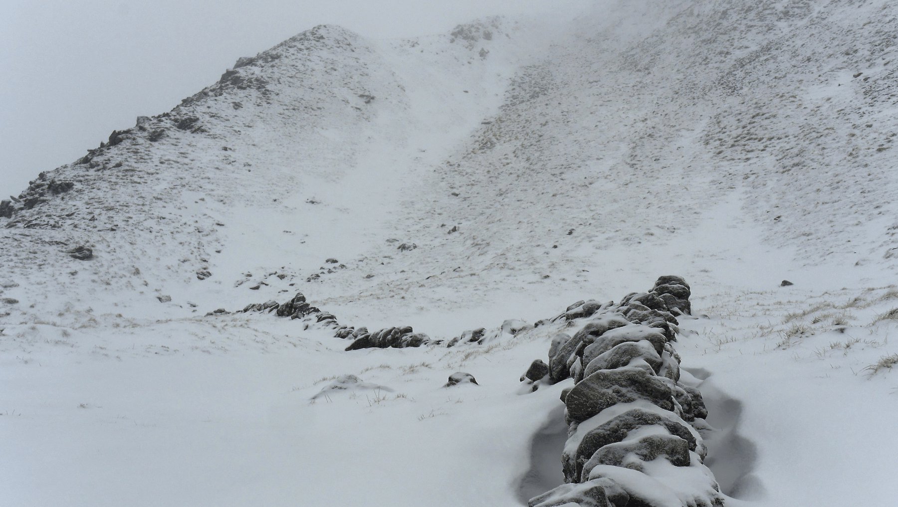
 (Above) The eponymous wall of Wall Gully at approx 900m, a broad re-entrant carved into the S flank of Sron Coire a Chriochairein. Another doctored photo. A good snow sampling site for us as it catches drifted snow from a number of wind directions including (just!) NE. As you can see, looking distinctly bereft of the deep, white cold stuff! Today’s formal snow observations were carried out here due to the absence of snow at the coire rim of nearby Coire Chriochairein.
Moderate to strong NW or WNW winds and snow showers in the weather forecast for Tuesday. Not expecting much snowfall but it will be coming in on showers which are tricky to forecast accurately and according to the Met Office we *could* get more, maybe as much as 10 to 15cm in total. In which case any new drifted snow will become deeper and more widespread on the identified lee slopes and gullies. Check the avalanche forecast for further details.
Comments on this post
Got something to say? Leave a comment


