One for the Road
4th February 2025
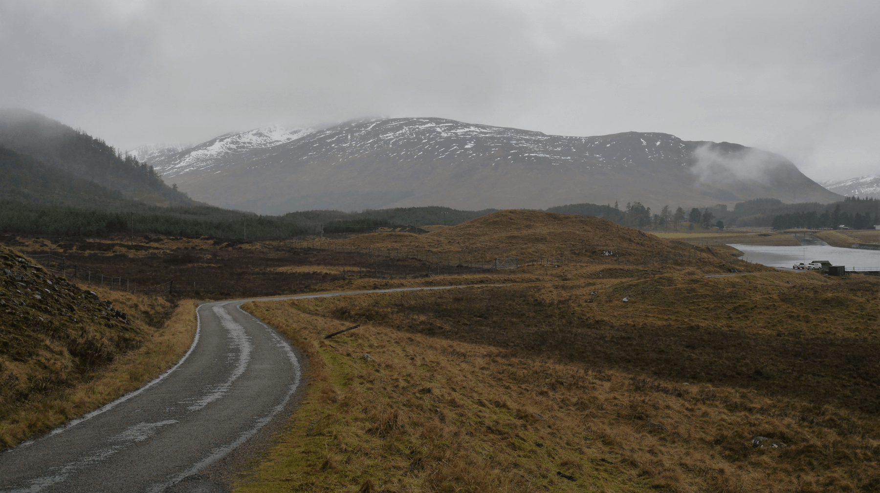 (Above) The Road to Garvamore & beyond to the upper Spey. One part of General Wade’s network of military roads but brought up to date with tarmac, and some realignment here and there. Took me to another ‘road’ (aka Argocat track) for the ascent up to Coire a Bhein. The Argocat track is quite an old one and follows the skyline from right to left in the photo. Abysmal weather: low cloud (700m cloudbase) and light persistent rain overnight and during day turning to sleety snow later near summits.
 (Above) 500m amsl. The Argocat track climbs steeply up the hillside for a time and makes a perfect watercourse (or watercourses?) on days like today.
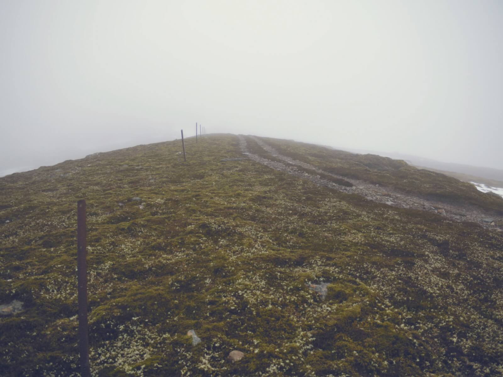 (Above) The track hugs the Jahama Estate side of it’s boundary with Ardverikie Estate, following the broad ridge past the 767m trig pillar on Carn Dubh. A little lower down the track is a useful ‘handrail’ when navigating in bad weather, though snow can obliterate it in places.
 (Above) Following the track up on to Stob Coire Dubh will eventually bring you to the SAIS Creag Meagaidh ‘Holfuy’ weather station at 910m. Said weather station in part owes its location to the presence of this convenient track.
 (Above) Coire a Bhein – just 20m or so away from the Argocat track. The top of the skyline is at 870m. This NNE-facing coire is still holding a reasonable amount of snow which was moist/wet and well-stabilised today.
All change tomorrow with cold temperatures and some snowfall in the forecast coming in showers. The Met Office are giving Creag Meagaidh 10cm of snow over the period, possibly as much as 20cm. But we may get less if the showers track just a little further away from our area. The old snowpack will firm up and become hard or crusty depending on altitude with any windslab forming on N to E aspects above 900m.
Comments on this post
Got something to say? Leave a comment