Coire Ardair
28th March 2025
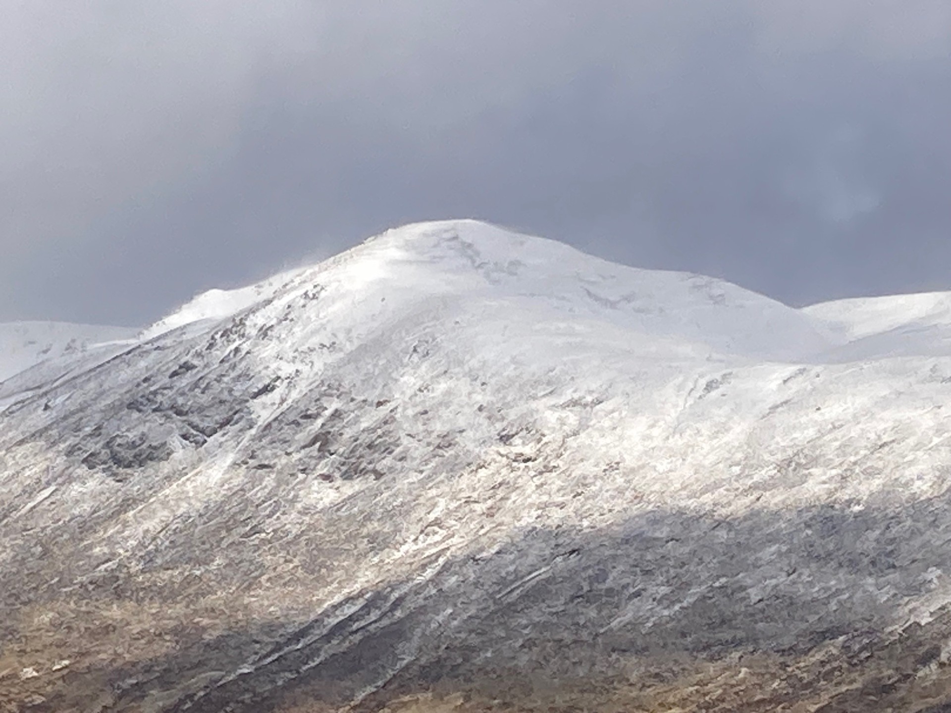
A blustery day with frequent heavy showers trundling in from the West, falling as snow above around 600m. The hills in the Creag Meagaidh area look quite wintery today. But don’t be fooled, the snow covering is very superficial and on the whole is overlaying bare (and very soggy) ground. The new snow fall around 600m was melting almost as soon as it hit the ground. Higher up (generally above 900m), the ground is dryer and the temperature was sub-zero therefore some of the fresh snow was drifting on the gale force West/South-Westerlies. There are isolated pockets of fresh windslab, mainly forming on corrie rims and in gully tops on the leeward side of the prevailing West/South-Westerlies. These areas are generally shallow and very easily avoidable. Small and fragile looking cornices were also noted.
It is staying cooler overnight and into Saturday morning with further light snow showers. Then expect to see the snow disappear as the freezing level rises above the summits on Saturday afternoon, with a very mild week ahead forecast.
The photos below will give you a ‘flavour’ of conditions in and around Creag Meagaidh today if you are planning a trip there this weekend.
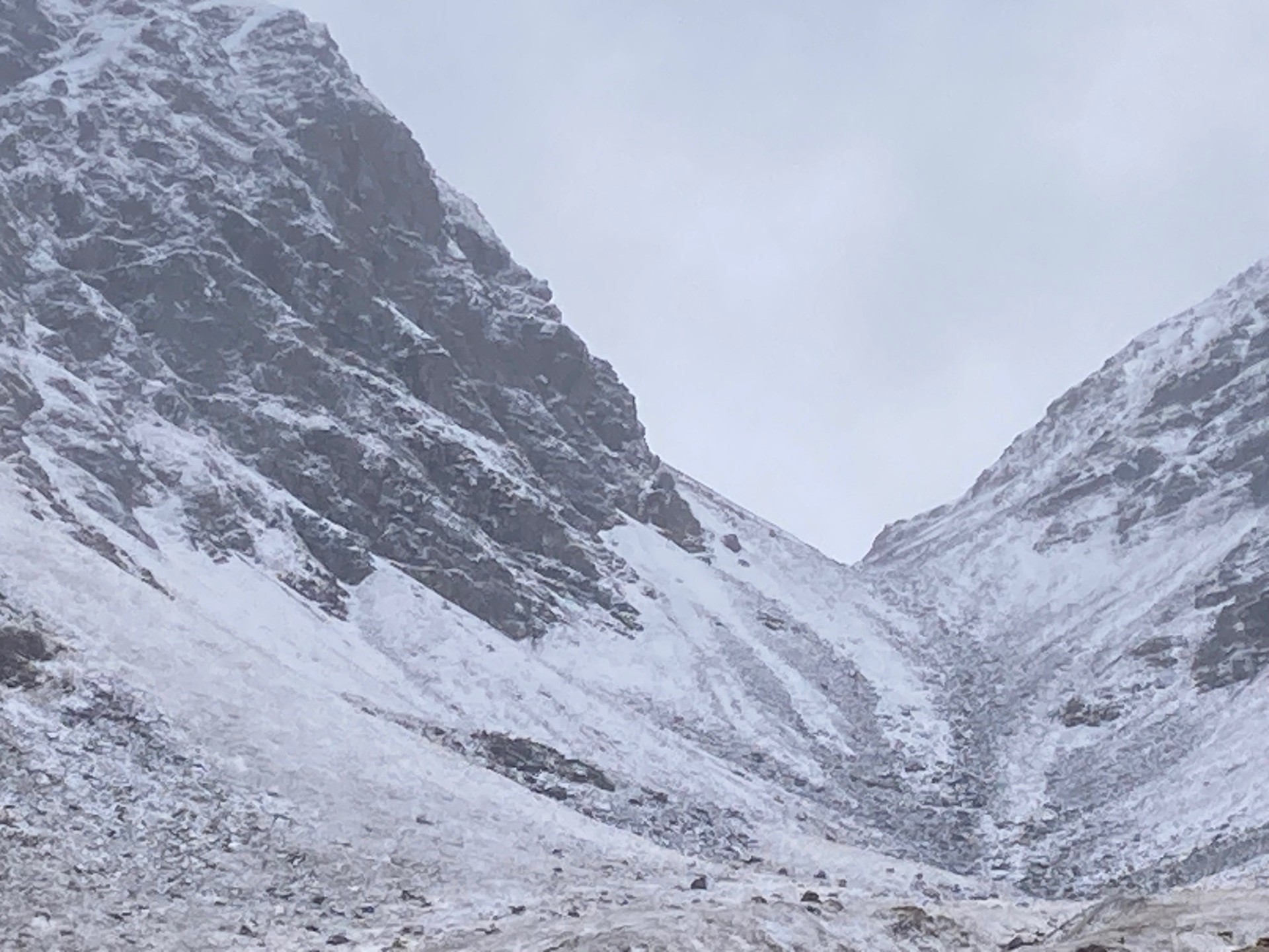
‘The Window’ – the skyline notch in the centre right of the picture is at an altitude of 950m. Even though the hills look ‘white’ from a distance, the snow cover is very superficial.
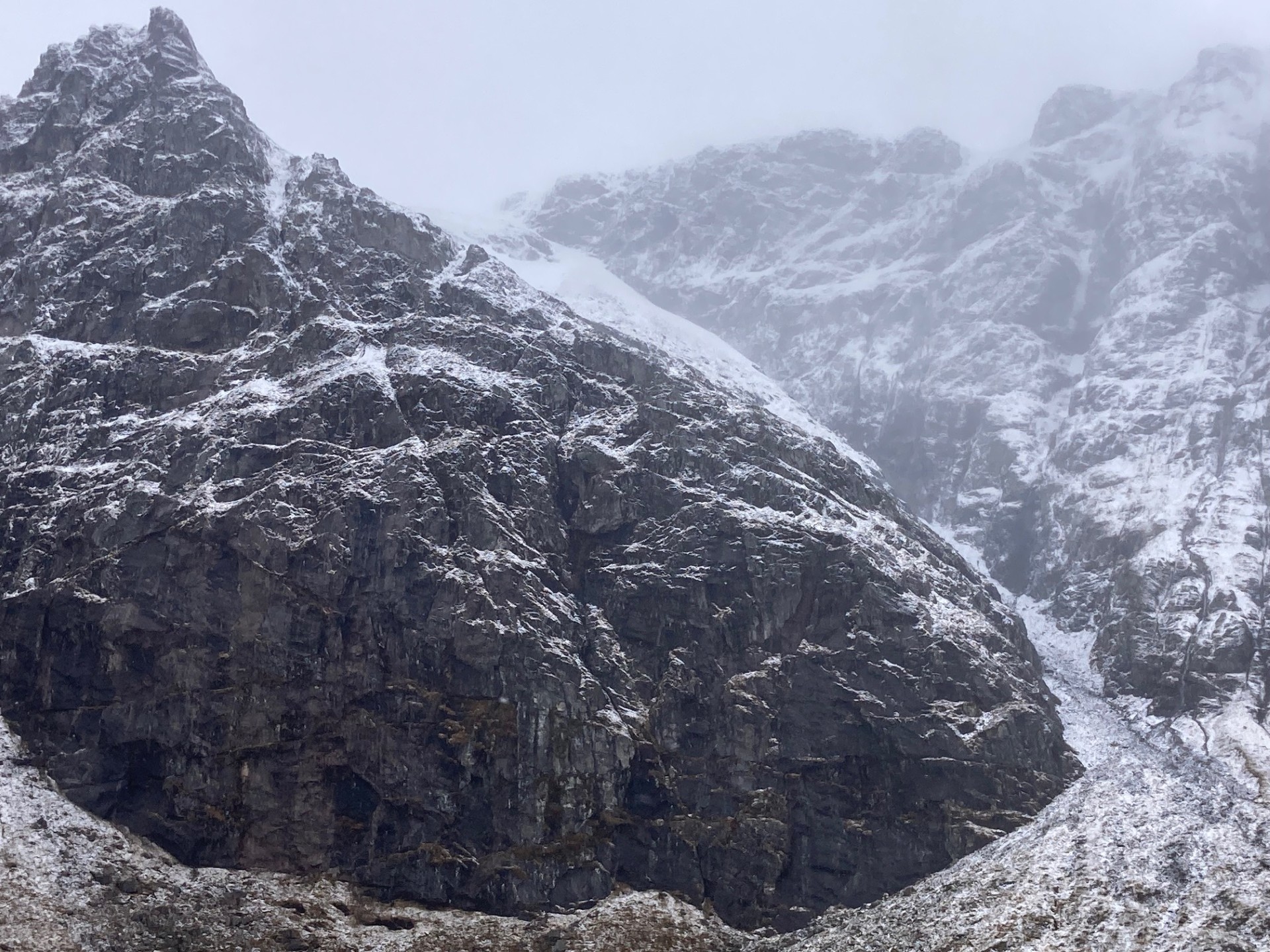
Looking up at the Post Face (RHS of the picture) and into Easy Gully – not much snow here even though this ‘face’ is on the leeward side of the prevailing wind. 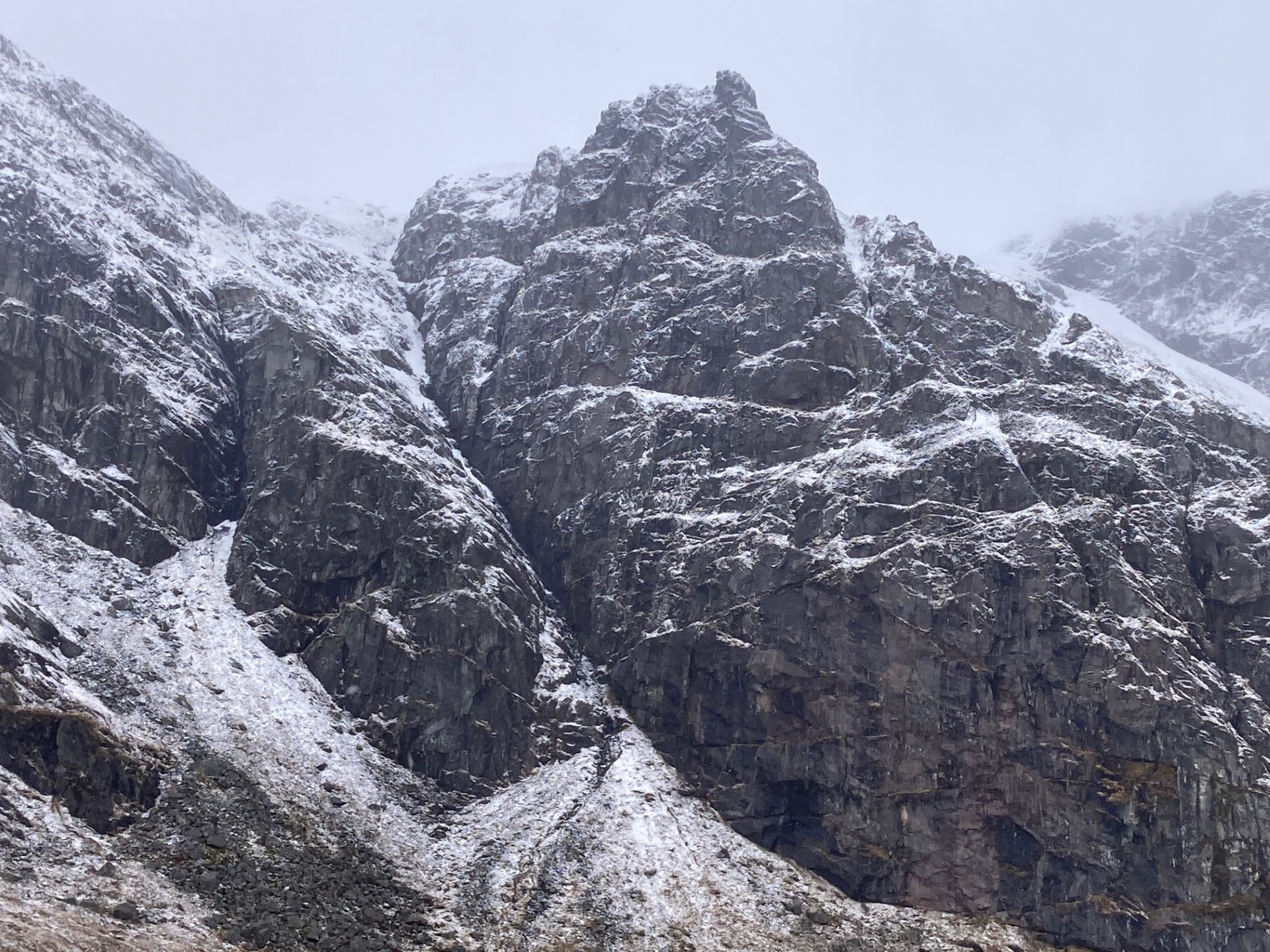
Looking up into Raeburn’s Gully.
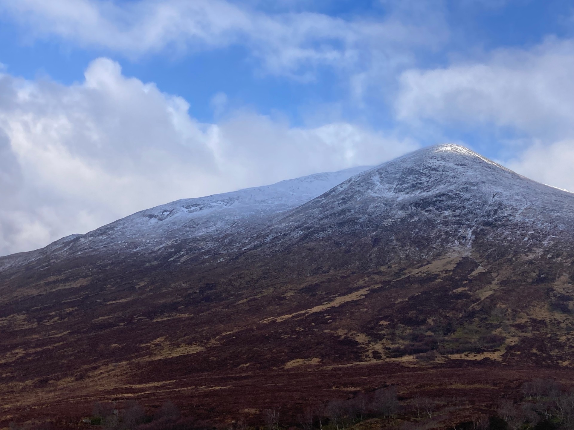
Sron a Choire (1001m).
Sron Coire a Chriochairein (991m)
Comments on this post
Got something to say? Leave a comment


