Damp
23rd March 2025
It was forecast to rain overnight and then get slightly cooler with the precipitation falling as snow above around 900 metres. It was interesting to go and see how much snow had melted in the overnight thaw and if there was any fresh snow on the ground. The end result was a net snow loss, shown in the photos below. The cloud base fluctuated today, but the summits were rarely visible.
The freezing level will rise above the summits this evening and remain there through tomorrow. The remaining snow patches will continue decrease in size and there remains potential for rock fall from the cliffs in the thaw conditions. Outbreaks of rain are forecast for late tomorrow afternoon.
There will be insufficient snow for an avalanche hazard and no further avalanche reports will be published for Creag Meagaidh unless conditions change. For further information please refer to this SAIS mountain blog, which will continue.
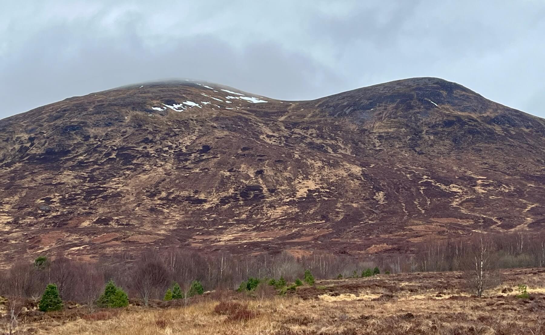
Taken from near Aberarder Farm looking towards Sròn a’ Choire (1001m) where a few snow patches remain on East to South-East aspects.
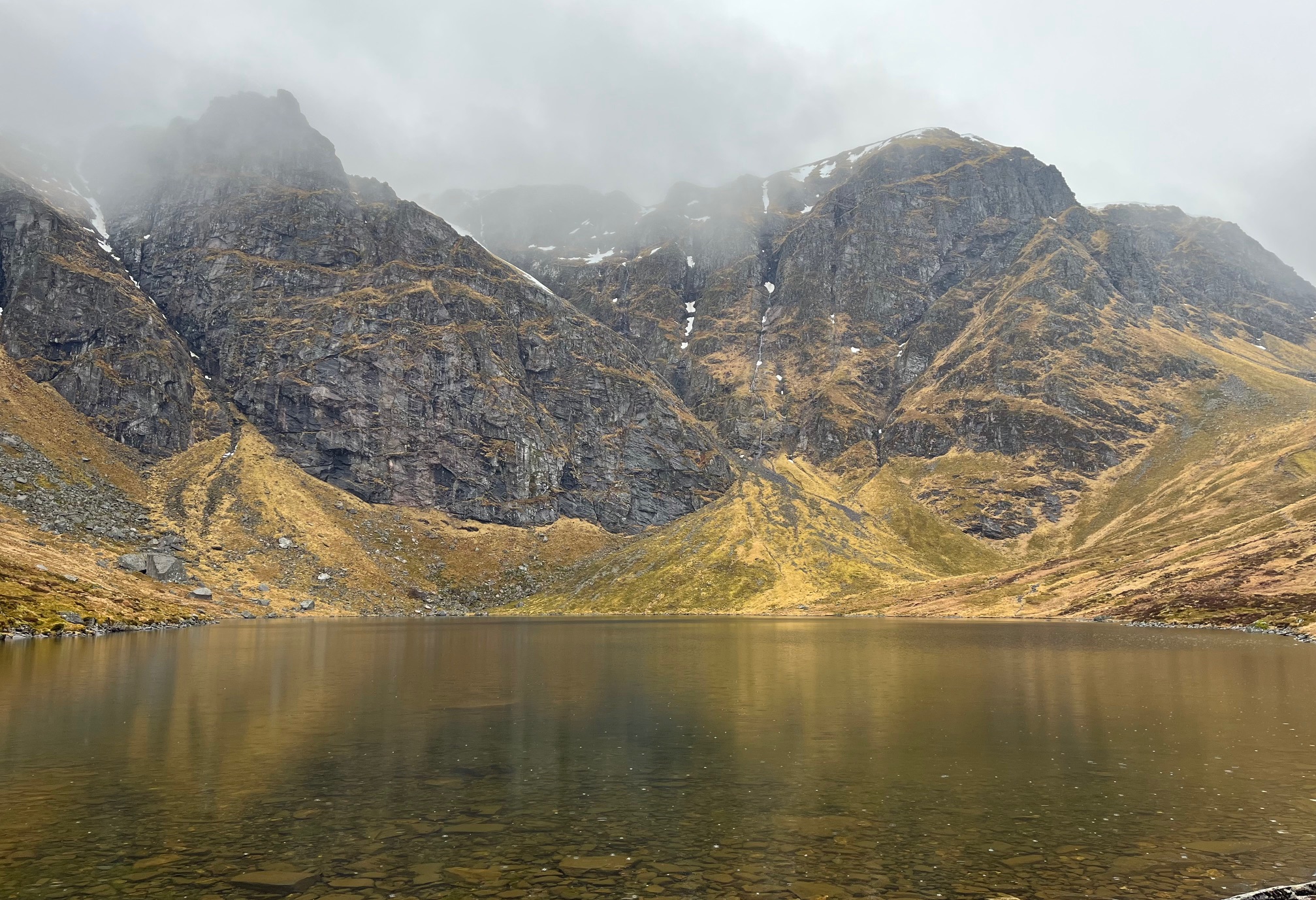
Coire Ardair. At first glance there was no sign of any fresh snow, and the ice that was present at the bottom of Last Post a few days ago has disappeared.
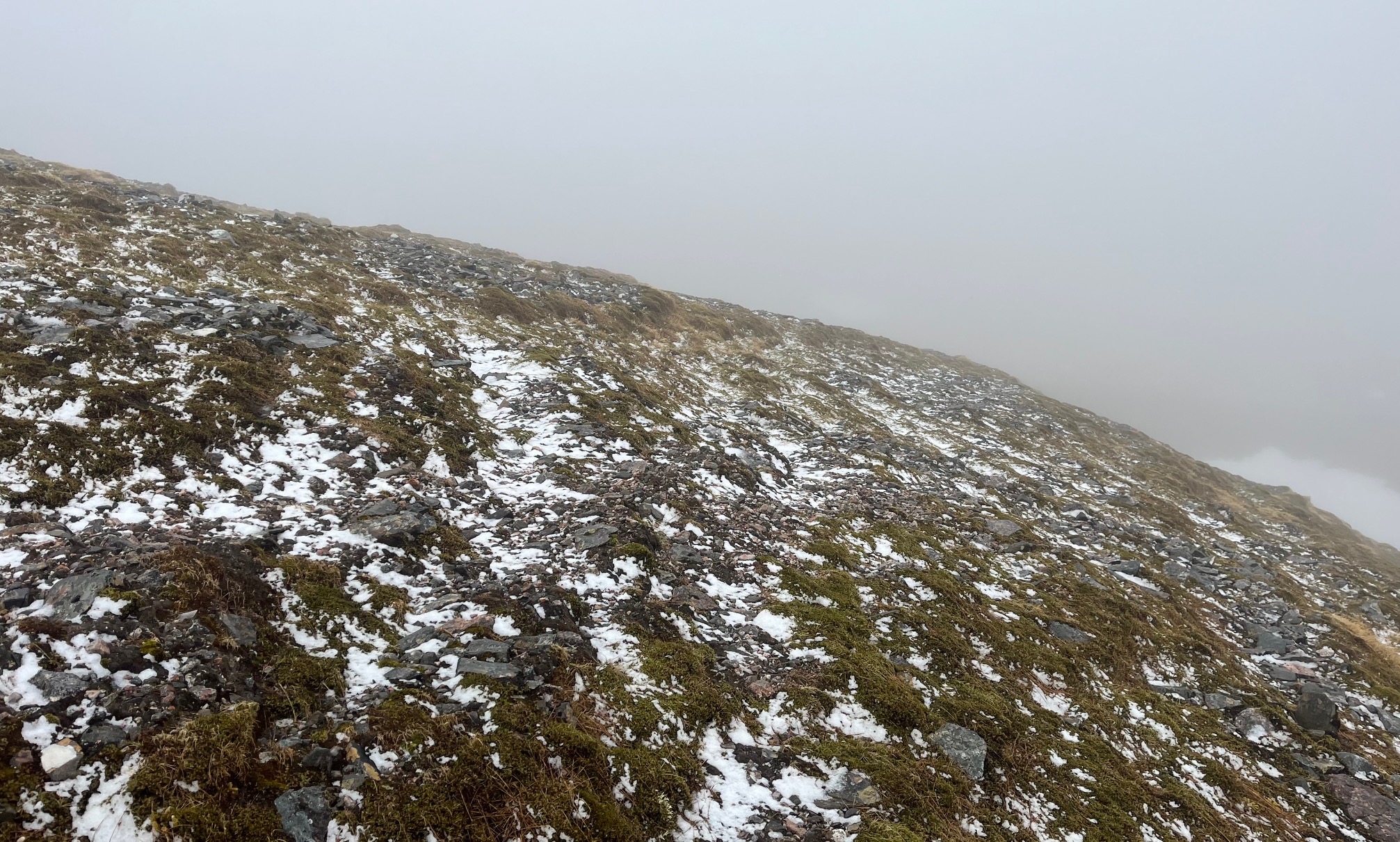
On closer inspection there was a little fresh snow lying at the coire rim.
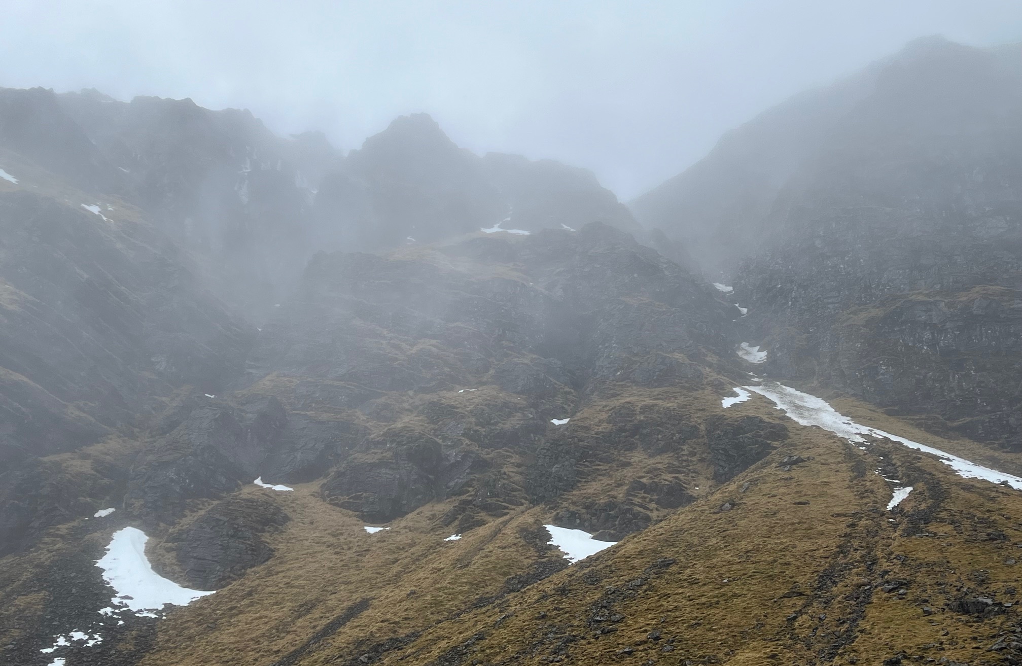
The Inner Coire and it’s remaining snow patches.
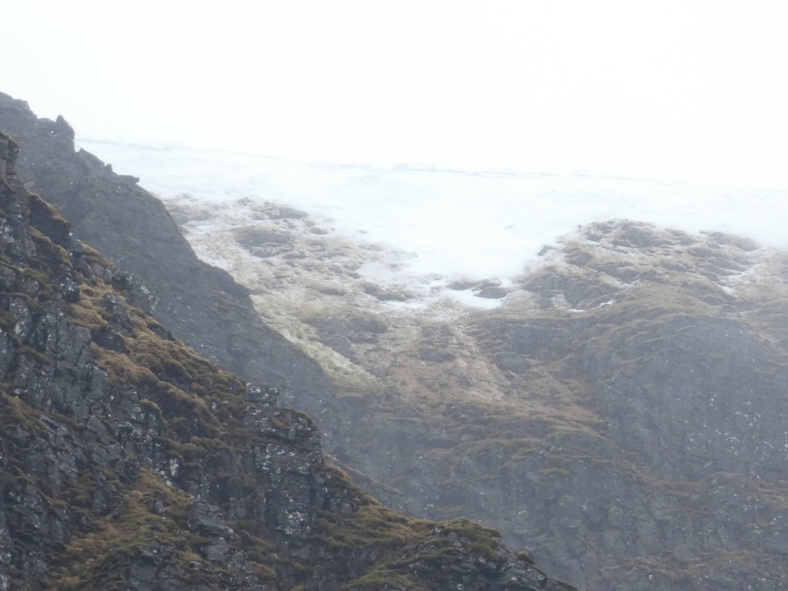
This is what the fresh snow above 900 metres had amounted to. With the freezing level above the summits at the time of writing it is more than likely than any fresh snow like this has already melted.
Comments on this post
Got something to say? Leave a comment


