Moy Wall & Moy Burn
20th March 2025
It was a dry and mild day with the overnight frost quickly disappearing as the freezing level rose to well above the summits. We are unlikely to see a frost tonight due to milder air and stronger winds than previous nights, and the remaining snow patches will continue to slowly thaw. It is forecast to remain dry for Friday with rain at all levels expected on Saturday.
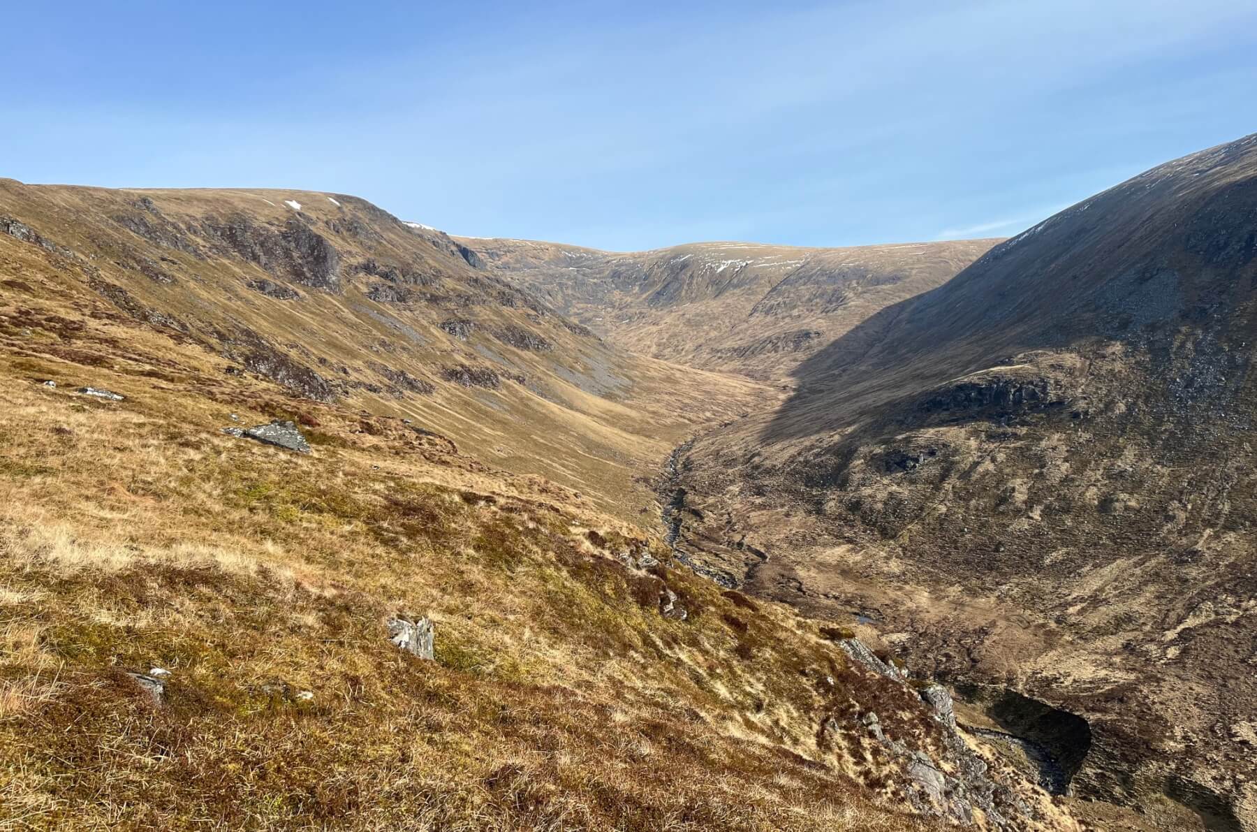
Looking up the Moy burn with only a few snow patches visible.
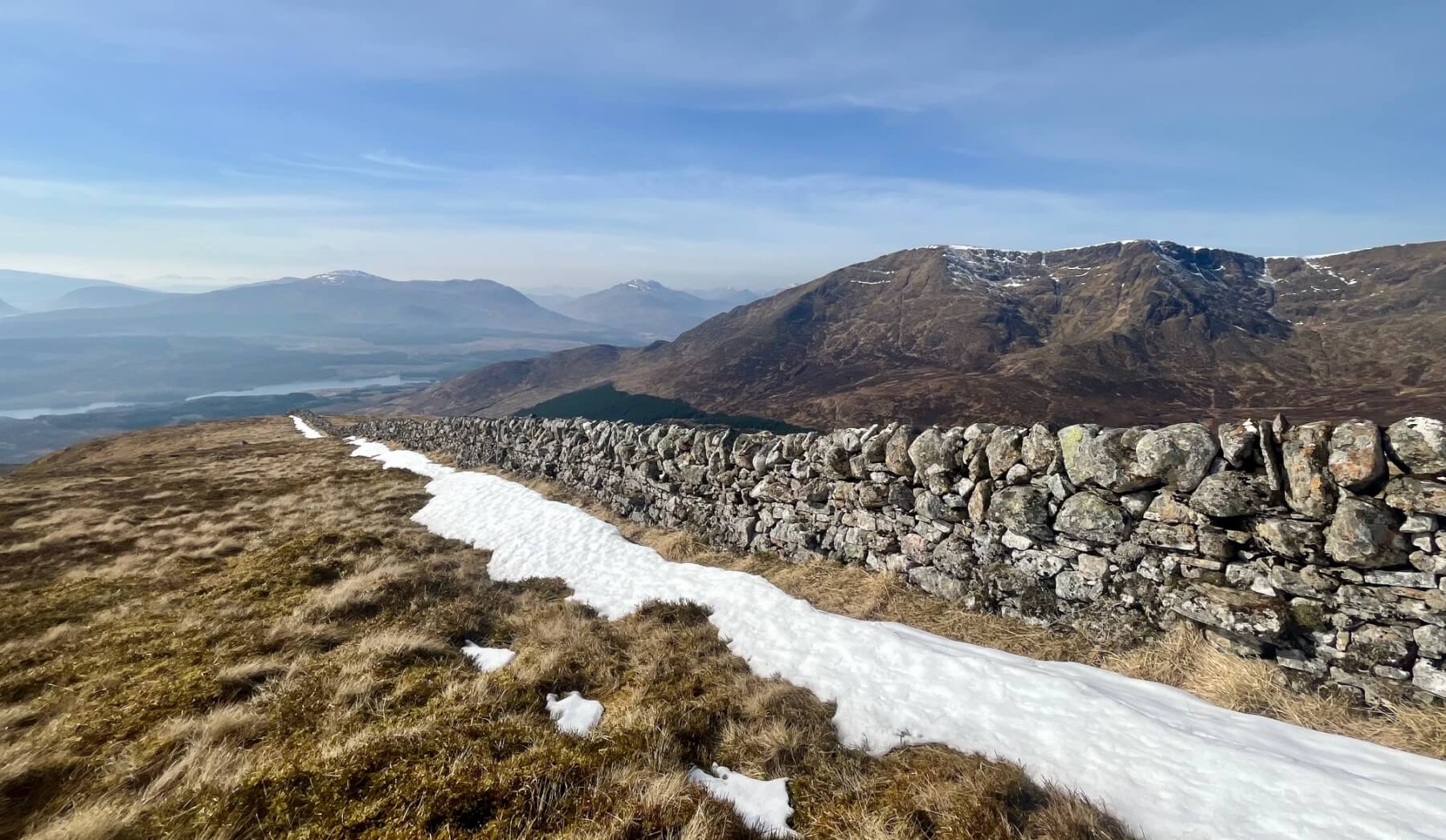
The wonderful Moy Wall with Beinn a’Chaorainn behind. The Moy Wall does a great job as a snow fence, allowing a deep accumulation of snow to build up along its length, commonly surviving a thaw when all the other snow in the vicinity has melted. The continuous snow line along the wall currently starts at 850 metres.
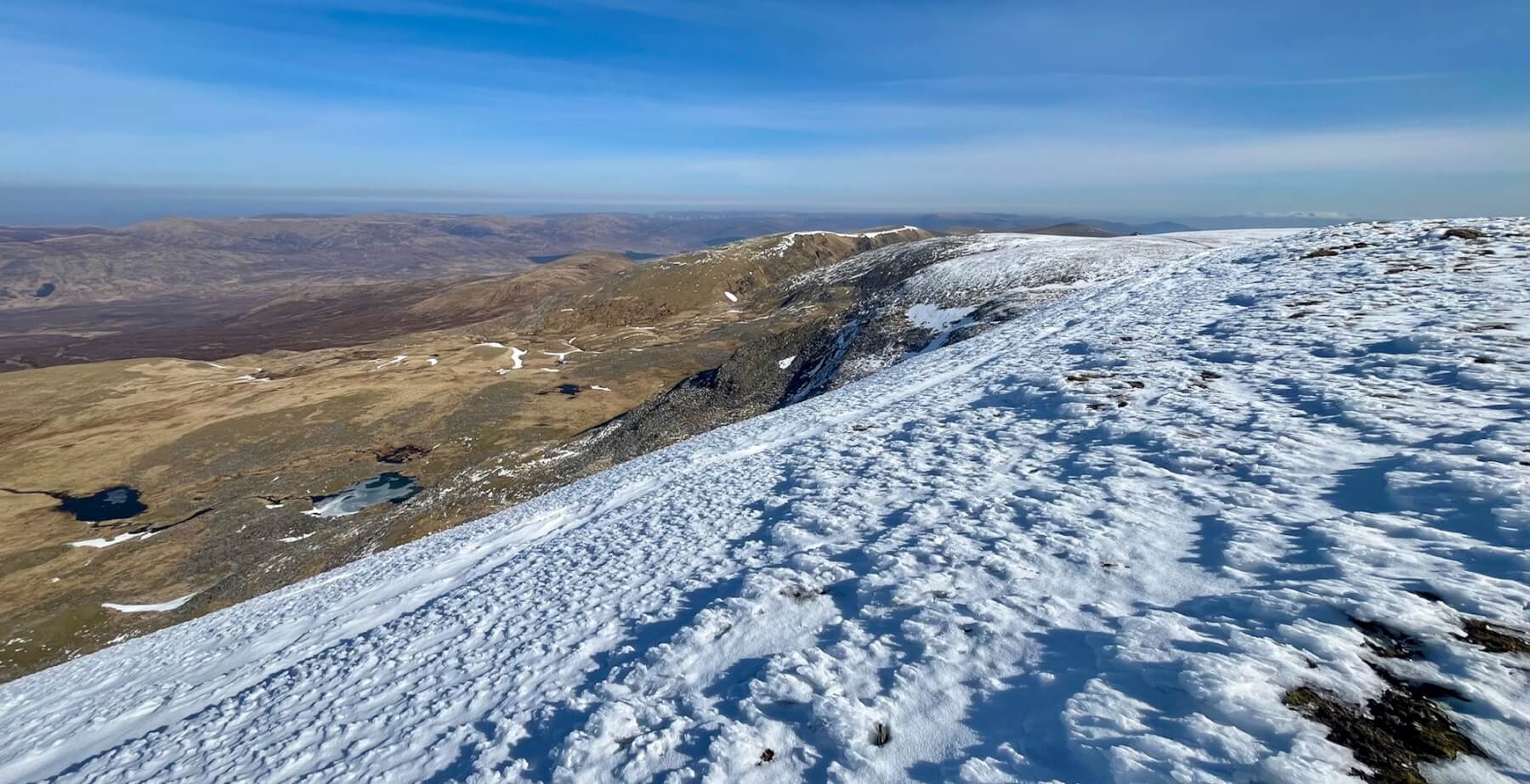
Th upper section of the Moy Burn with the Munro tops of Puist Coire Ardair, Meall Coire Choille-rais and An Cearcallach on the skyline from left to right. Some snow patches remain here in the hollows on a North-West aspect which were deposited when the last snow fell (a week ago).
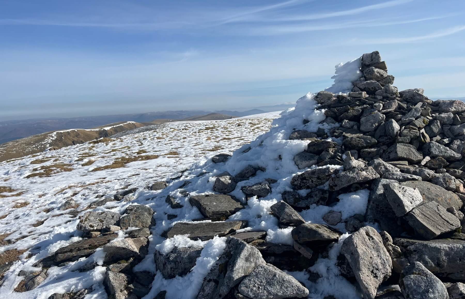
The summit cairn on Creag Meagaidh with plenty of rime on its Northerly side. Immediately to the left of the cairn there is a glimpse of the much whiter looking Cairngorms.
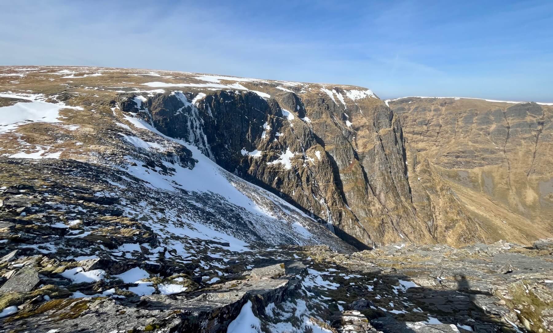
Lochan Uaine still has some ice on it and there is snow from the summit leading across and down to ‘The Window’.
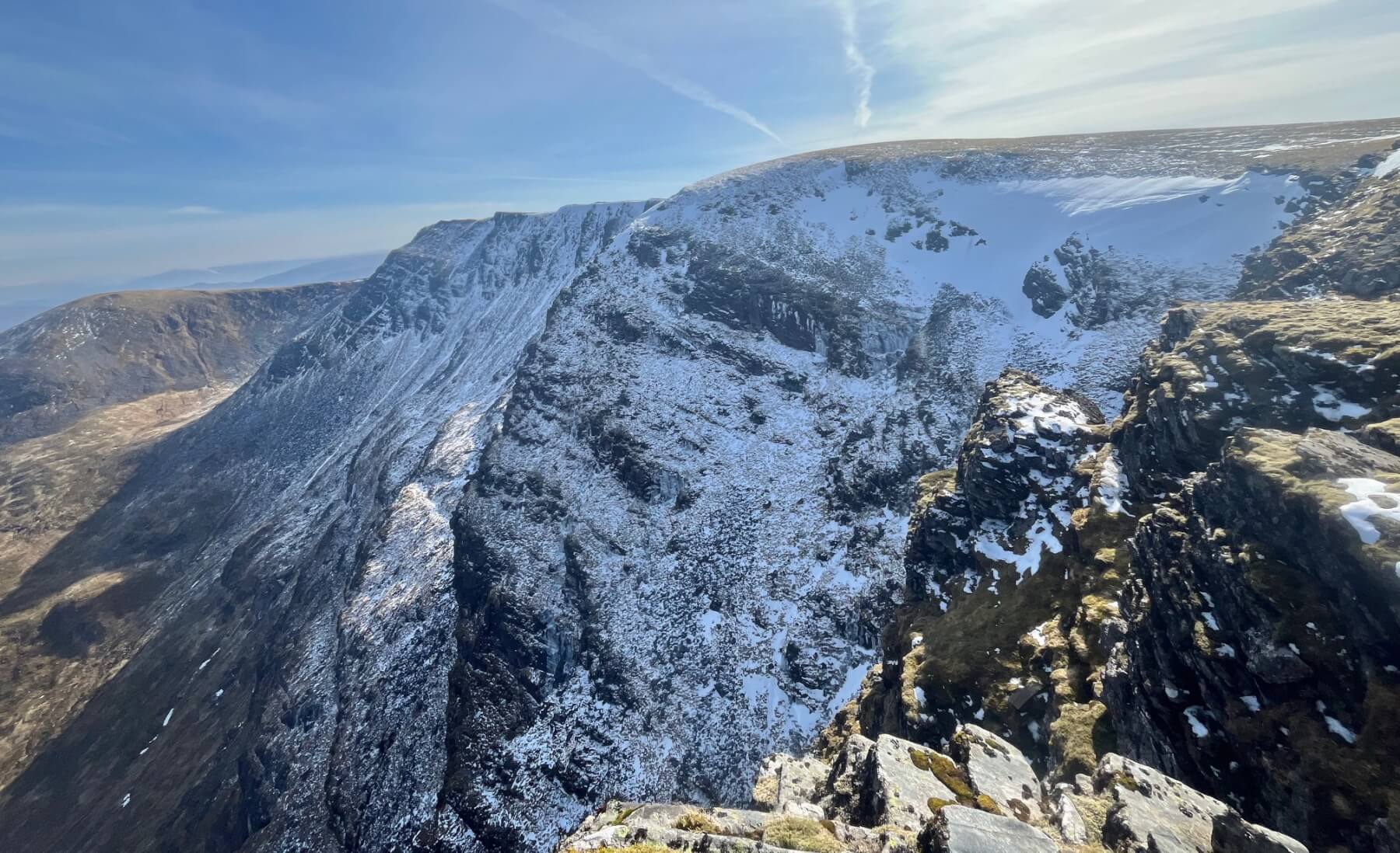
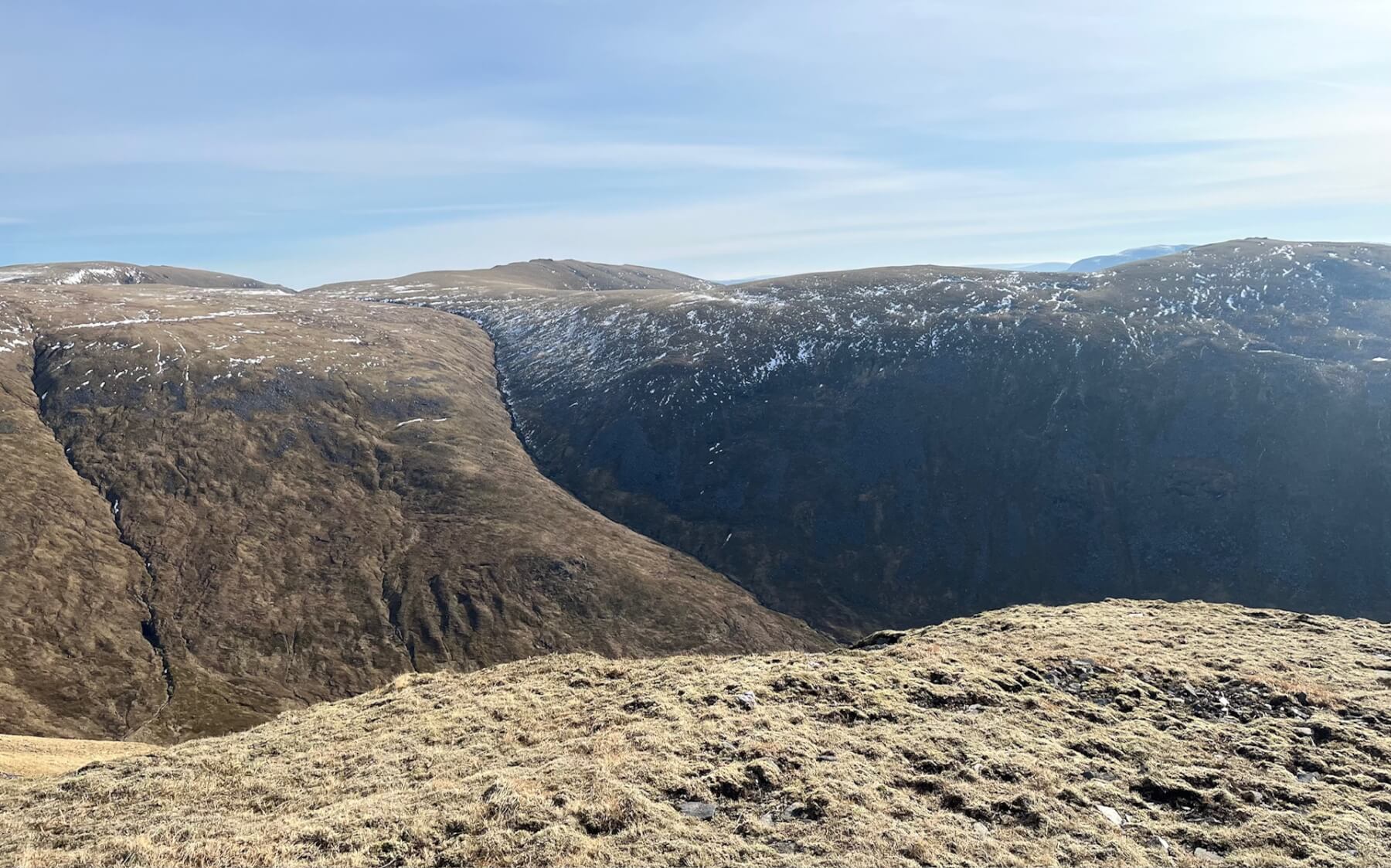
The North facing cliffs in the shade of Coire Ardair still holding some snow and ice.
Less snow in the sun! Although Post Haste and the lower section of Last Post are still holding some thin strips of ice. There is a potential for rock and ice fall from the cliffs during these thaw conditions.
Comments on this post
Got something to say? Leave a comment


