South-East winds continue
31st January 2026
We’ve had a long run of winds from a roughly South-Easterly direction. There was no change in this today and the outlook is for more of the same. The steady wind direction has meant that other weather conditions have been fairly consistent too; temperature slightly below average, cloudy with limited precipitation falling as snow on the mountains and rain in the valleys. The main exception to this would be when storm Chandra occurred and there was heavy snow/rain as well as storm force winds.
The steady weather pattern means that there is little change in the snowpack from day to day. Windward slopes are mostly scoured with remaining snow icy while leeward slopes have some deep windslab accumulations in sheltered areas. This windslab is mostly reasonably well bonded with some less stable surface windslab being found after recent snowfall.
I headed up the Moy Burn today to get a look at a high West aspect. Poor visibility high up but a couple of photos showing the middle part of the Moy Burn below.
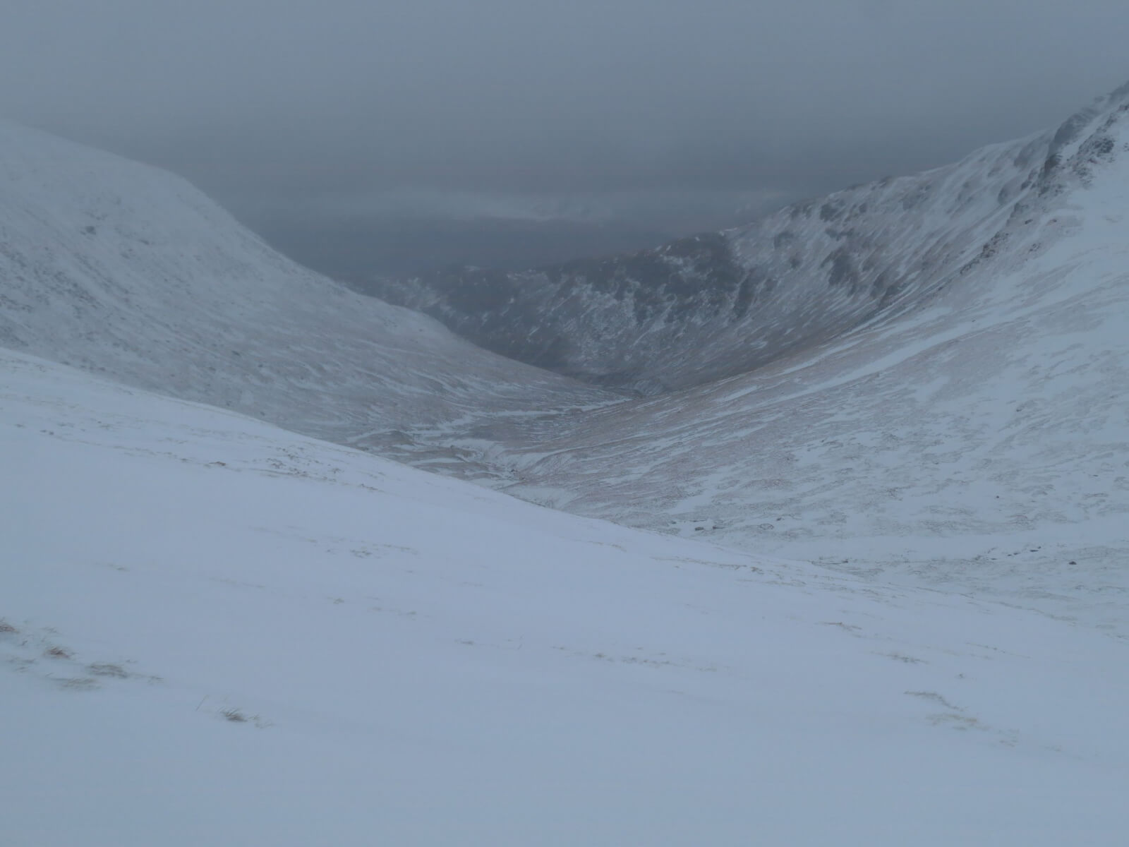
Looking down the Moy Burn.
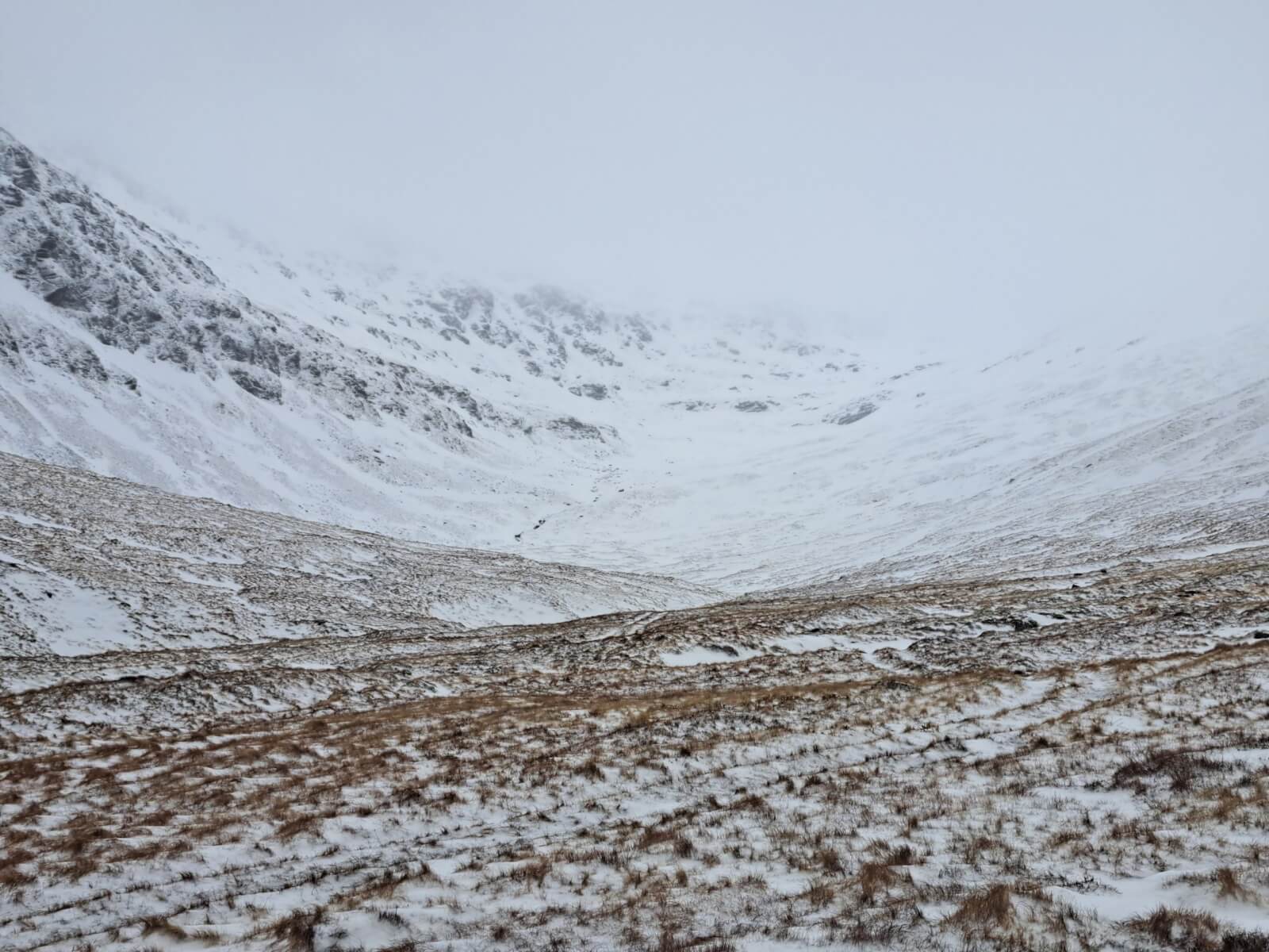
Looking up the Moy Burn towards Creag Meagaidh.
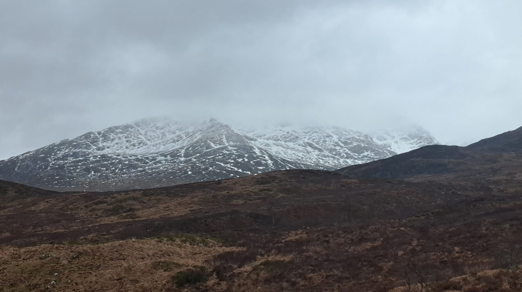
The South-East side of Beinn a’ Chaorainn.
Comments on this post
Got something to say? Leave a comment


KEITH HORNER
31st January 2026 6:27 pm
So far, this season seems to have been characterised by periods of prolonged south-easterly weather patterns which look like continuing for a period yet. It also seems like visibility high on the hill has been generally limited with few really clear days of note. What seems very noticeable is the differences in snow quantity and condition resulting from this consistent wind direction between the reports from the Southern Cairngorms and Torridon forecasters – with Creag Meagaidh lying in a transitional zone both geographically and metrologically with associated effects on snow cover.
meagaidhadmin
1st February 2026 2:24 pm
You’re right Keith. Creag Meagaidh (along with Lochaber and Glencoe) has been close to the transition zone recently. There has definitely been enough snow for it to feel very wintery on the tops.