Coire nan Laogh
10th February 2026
There was uncertainty as to how much fresh snow would fall in the Creag Meagaidh area during the last 24 hours. As the freezing level was just below the summits, any new snow was only going to be at the highest of elevations. With strong Easterly winds there was potential for windslab development on Westerly aspects. This seemed like a good opportunity for a trip to the top of Coire nan Laogh, featured on yesterday’s blog from a distance, to find out how much snow there had been and if there was any windslab.
The findings – There was little evidence of any fresh snow on the ground, however there was some snow being blown around in the atmosphere, enough drifting to fill in footprints (see below).
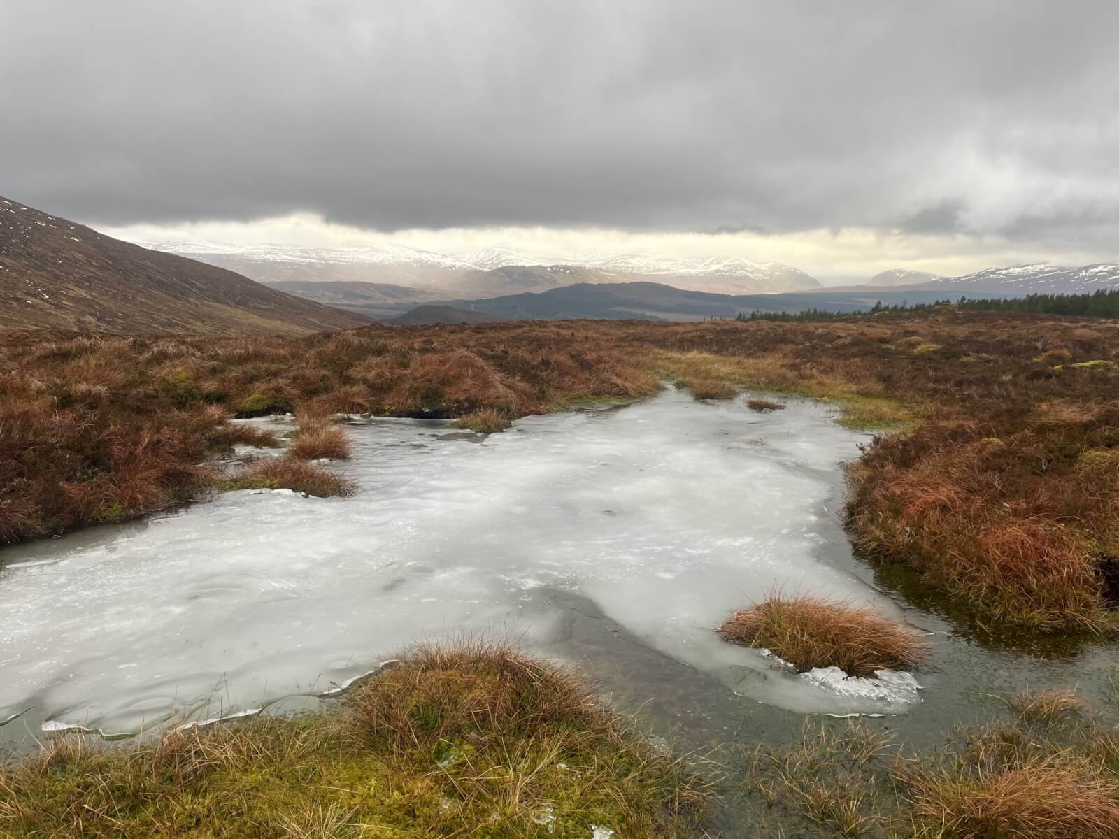
Rain and generally wet ground at 600 metres. Some ice clinging on here but you wouldn’t want to step on it. The lower slopes of the hills south of Glen Spean are showing beneath the cloud base.
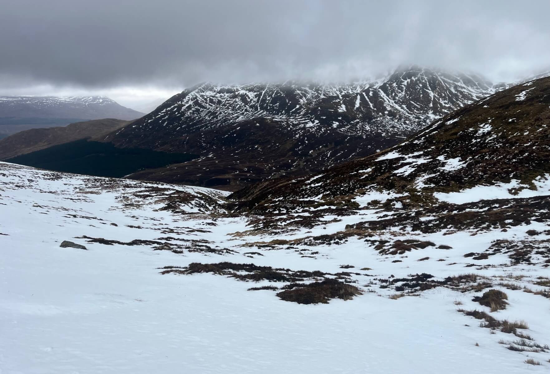
Beinn a’Chaorainn with its curving East Ridge disappearing up into the cloud. There were a number of parties heading this way today. The cloud base was around 850 metres for most of the day.
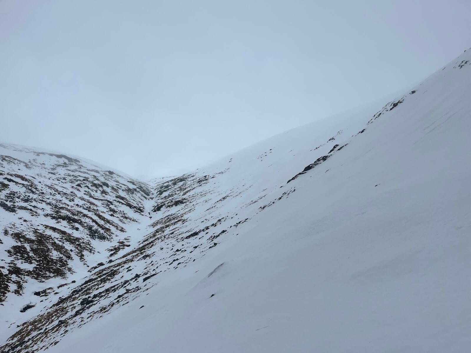
Allt na Laogh and the West facing slopes of Coire nan Laogh. This was as good as the visibility got. The snowpack here is moist.
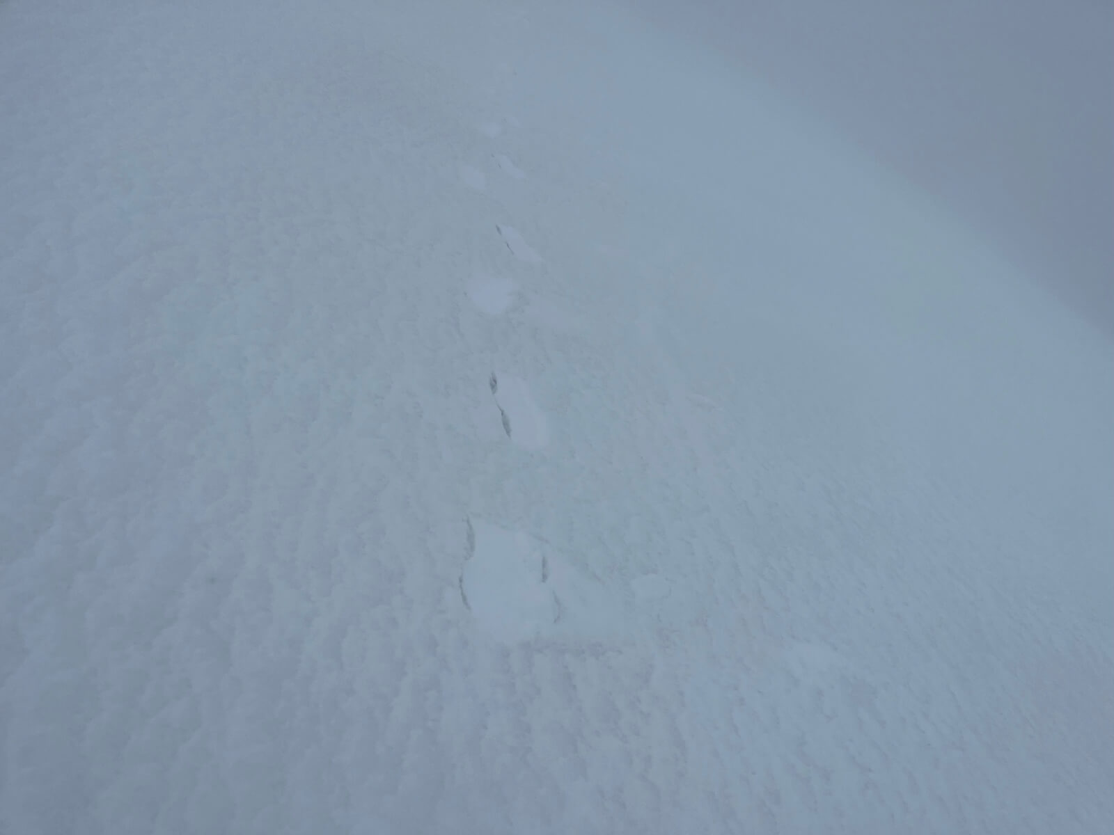
The snow surface at 950 metres. It had been raining here and the snow surface is soft, making footprints approximately 3cm deep on the outward journey. On the return leg the footprints had drifted in with humid fresh snow. There isn’t any fresh snow lying outwith the footprints.
Comments on this post
Got something to say? Leave a comment


