Overnight instability then a stabilising trend.
26th March 2026
An upward temperature blip (above summits) and some rain in the forecast overnight. Current thinking is this might be enough to weaken the most recently drifted snow on NE to SE aspects above 950m, and also undermine the stability of the quite new cornices that overhang many of these places. So, some overnight instability in prospect. How profound this instability will be sparked off an interesting discussion at our daily afternoon Teams meeting, particularly amongst the west coast SAIS area forecasters who have delicately poised snowpacks at the moment. Once the mild, damp spell has passed through and purged instability from the snow there was general agreement there will be a rapid transition to much better stability everywhere, save for some late drifted snow over summits.
Quite a lot of avalanche activity overnight Weds/Thurs in our area with several cornice triggered avalanches mainly on NE to ESE aspects, ranging from size 0.5 to size 1 events. Details in the captions below.
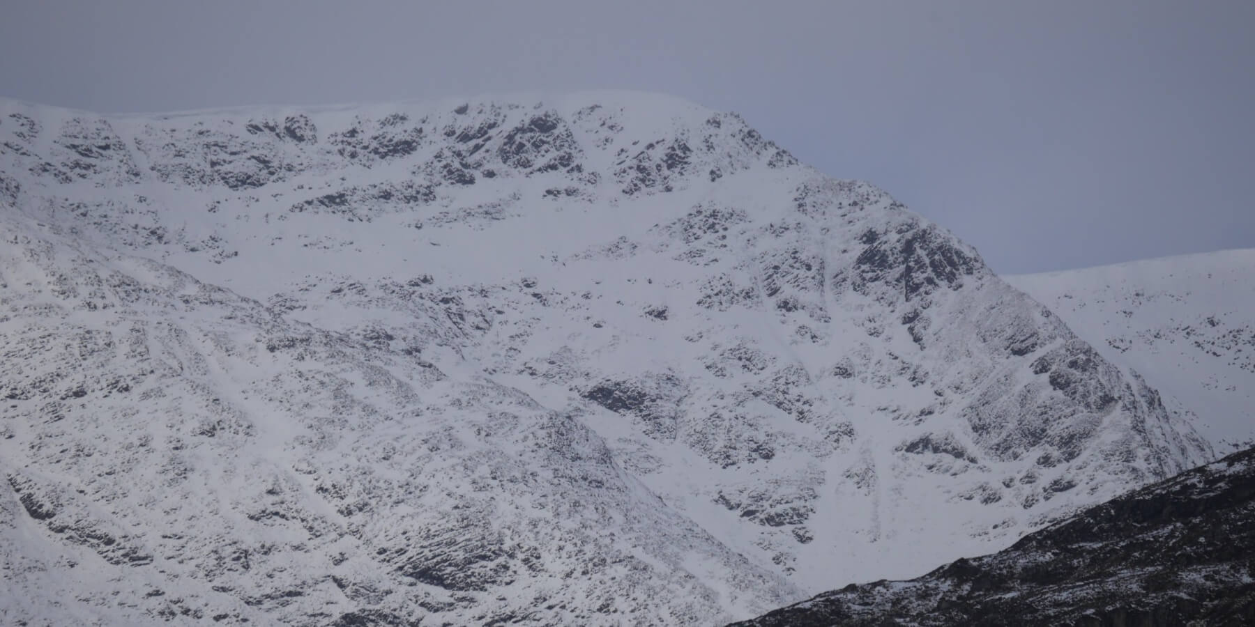
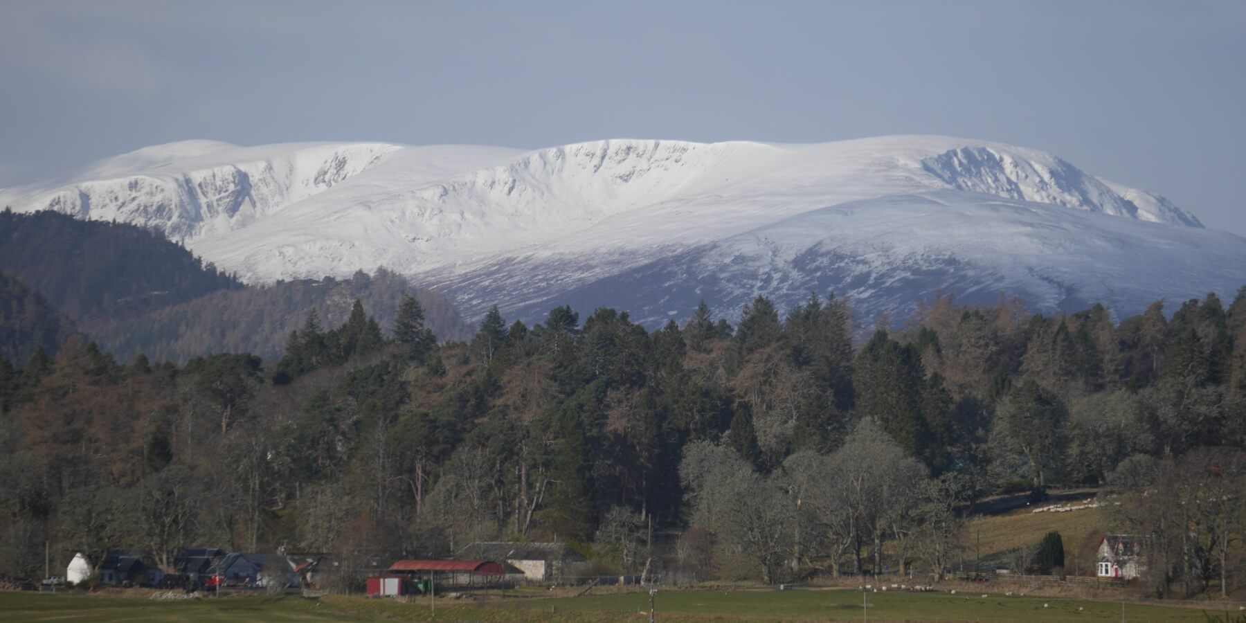 (Above) The Carn Liath massif summit far left with L to R Coire nan Gall, Coire Dubh and Coire a Bheinn. Decent looking cover but quite a lot of it at lower altitudes is cosmetic and expected to recede quickly by Friday am.
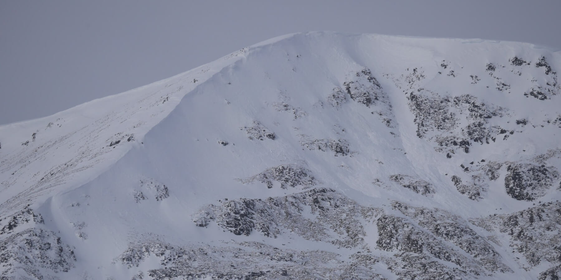
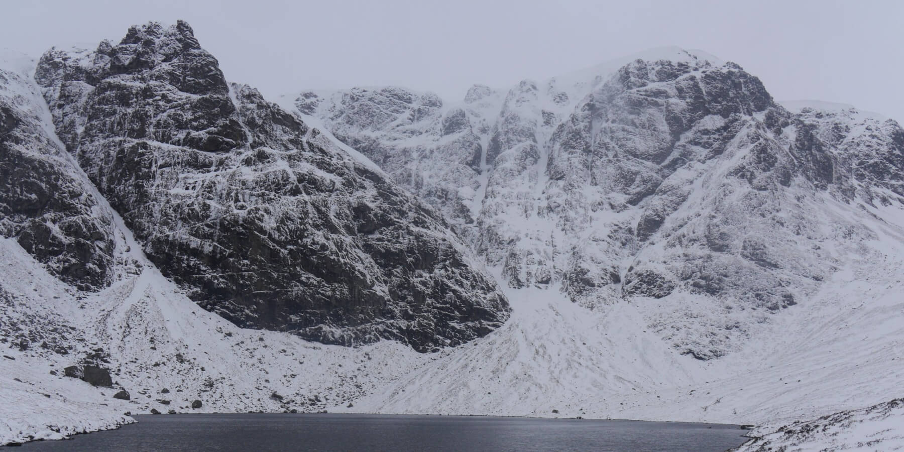
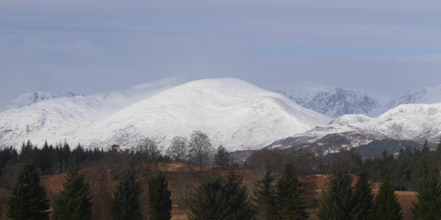 (Above) Sron a Ghoire and, distant, the Post Face of Coire Ardair and The Window. Milky sunshine this morning made the snow cover look better than it actually was.
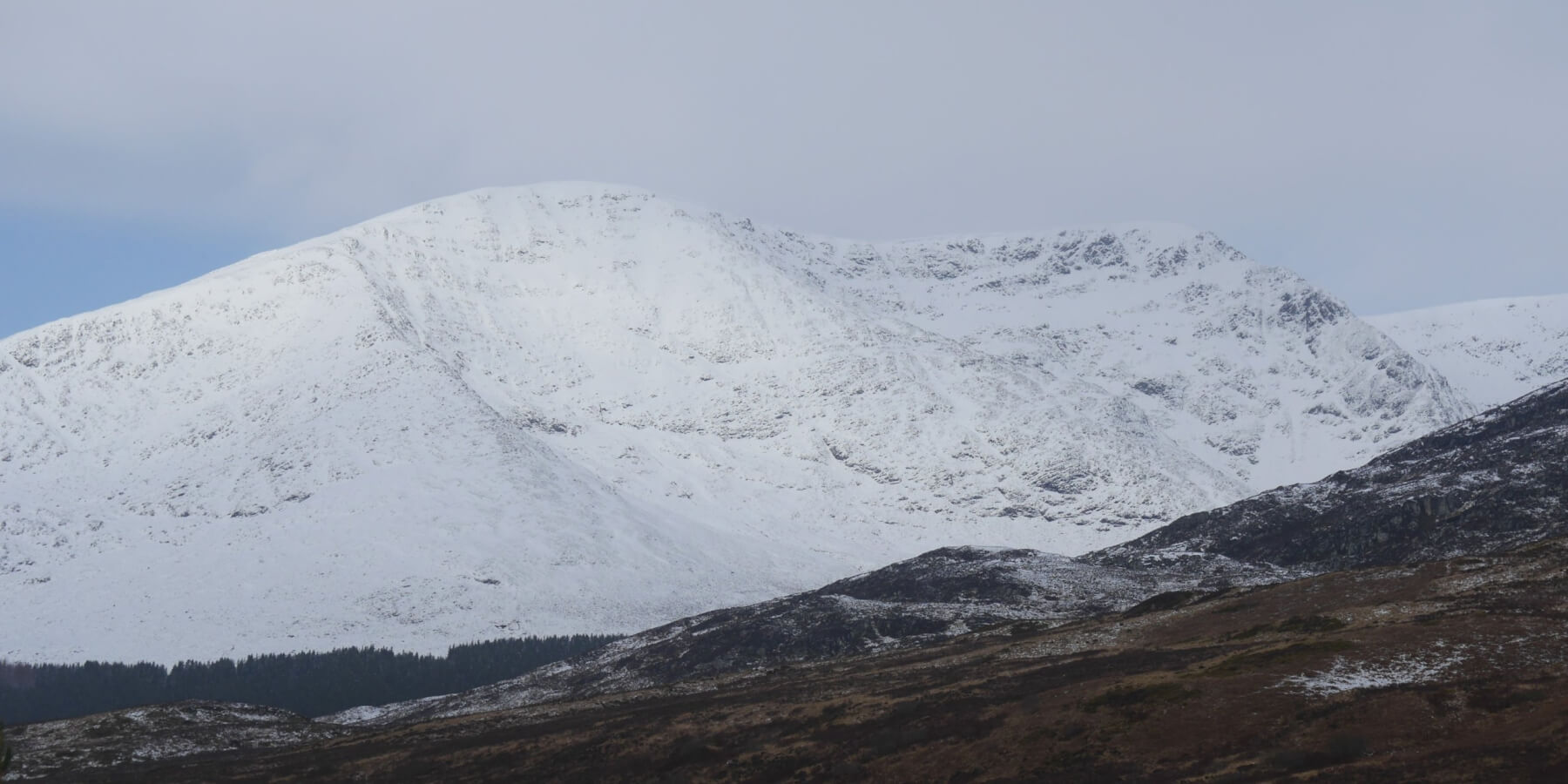 (Above) Beinn a Chaorainn just before the cloud cover rolled in and flattened the light.
 (Above) Inset of the East Ridge of Beinn a Chaorainn wearing a mantle of relatively soft snow. Quite a cornice line developed over the past few days around the rim of the principal coire.
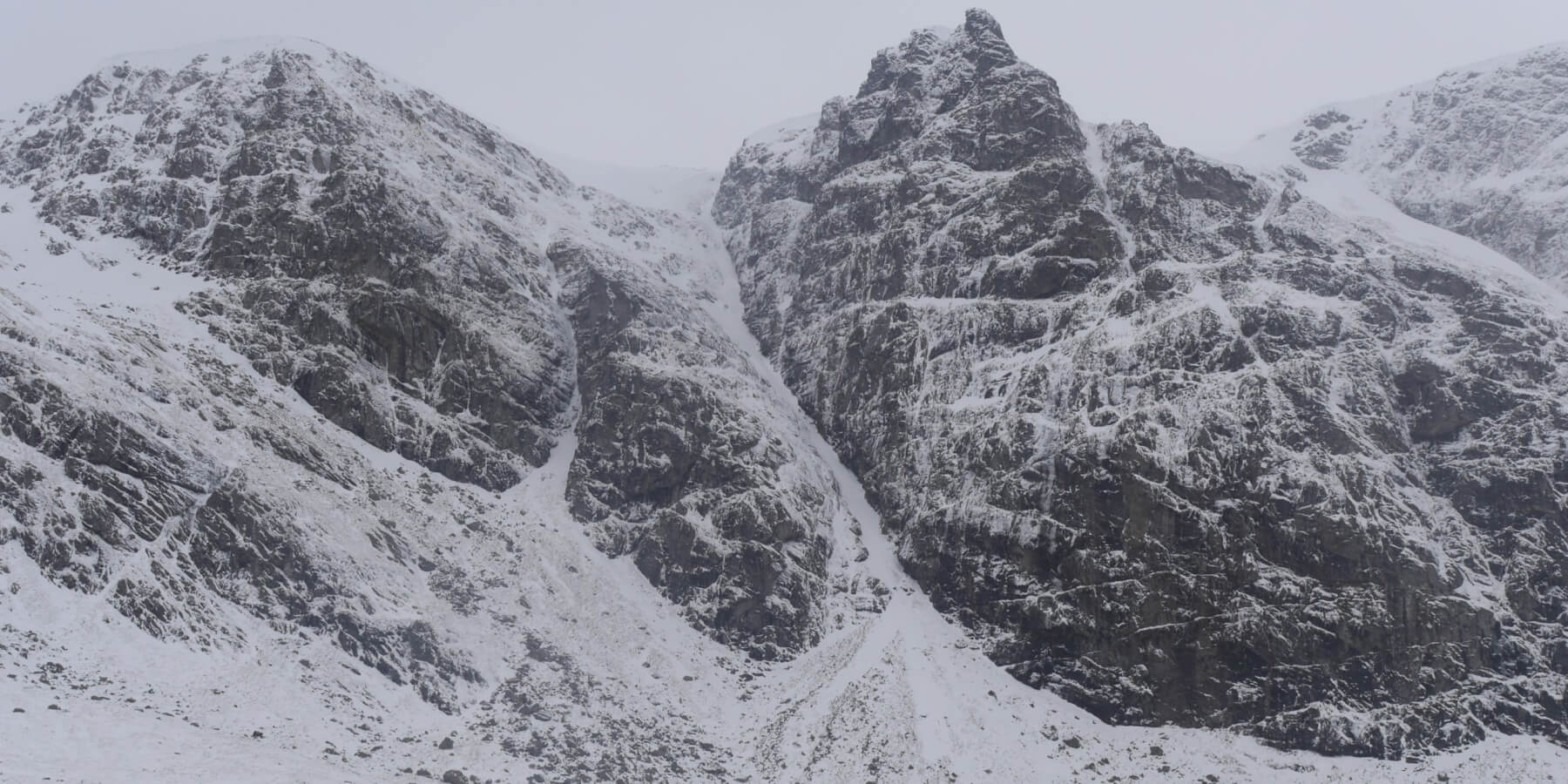
 (Above) Coire Chriochairein. ENE aspect. 1040m summit. 3 separate cornice triggered avalanches here overnight with the crownwalls buried by drifting snow. All about size 1. Quite a few cornices still in place here.
 (Above) Pinnacle Buttress and Raeburn’s Gully. Loose snow avalanche debris present in this gully this morning, about size 0.5. Most likely occurred overnight.
 (Above) The NNE-facing crags of the Inner Coire of Coire Ardair and The Window extreme right. Size 0.5 avalanche from close to the crags near the summit of The Window, again probably an overnight event.
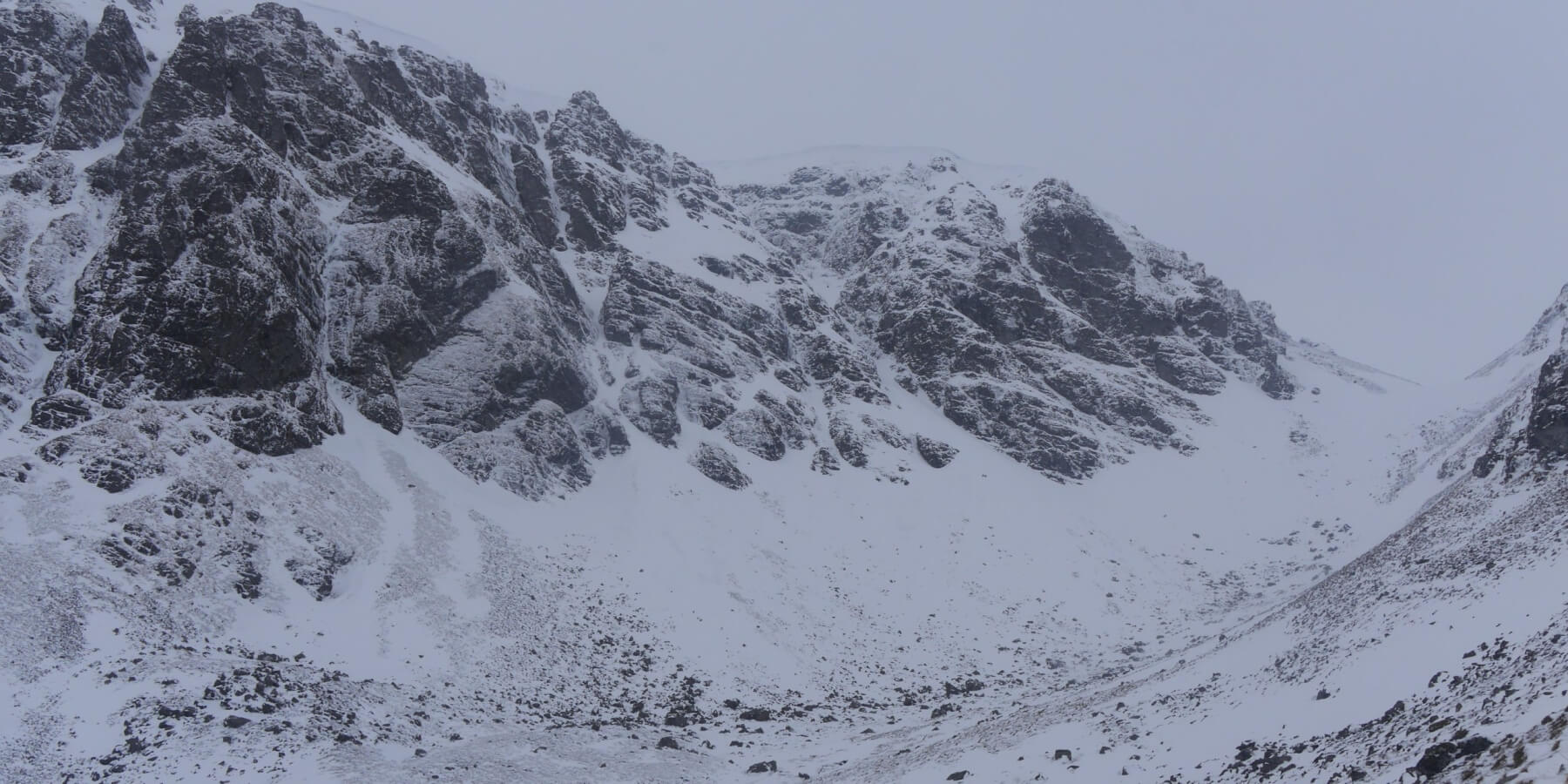
 (Above) The crags and gullies at the far end of Coire Ardair.
Comments on this post
Got something to say? Leave a comment