Not really calm before the storm.
4th April 2026
Had a fair amount of snowfall overnight even before Storm Dave shoulder-charged his way into our area. Quite a lot of persistent snow showers pre-dawn, occasionally heavy, then just a few relatively tranquil, quite bright hours followed. Was greeted by 10cm of fresh snow at 700m on Beinn a Chaorainn with palpably more at higher altitudes. Winds picked up around midday and sparked off some mad drifting above 900m prior to any new snowfall. Needless to say, stability was poor up high and is expected to remain so right through Easter Day on all lee slopes above 800m.
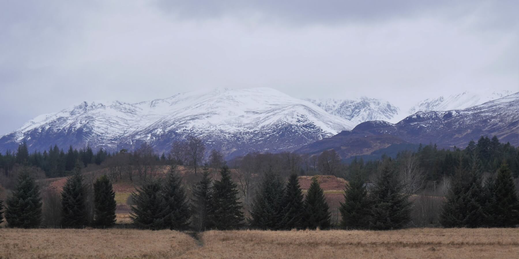 (Above) The Big Picture. Sron a Ghoire et all before Storm Dave’s arrival today.
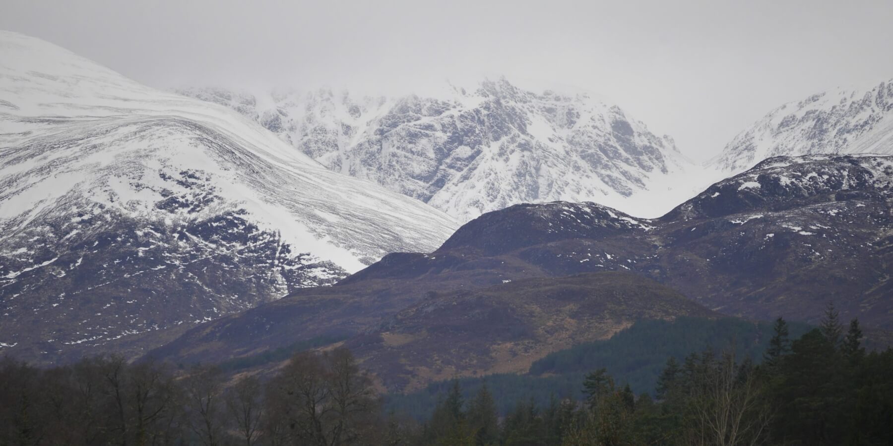 (Above) Inset. Telephoto shot of the Post Face of Coire Ardair and The Window, pre-Dave.
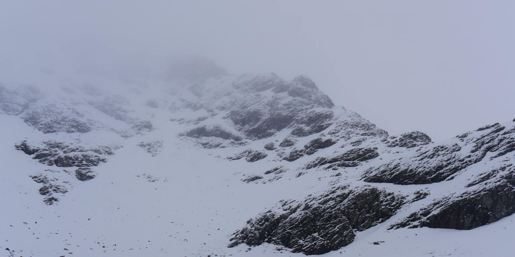 (Above) Lower S-facing part of the East Ridge shrouded in mist from mid-morning onwards. Quite a lot of fresh snow lying on the fround at this altitude.
 (Above) Moderate drifting at 900m for a time this morning…
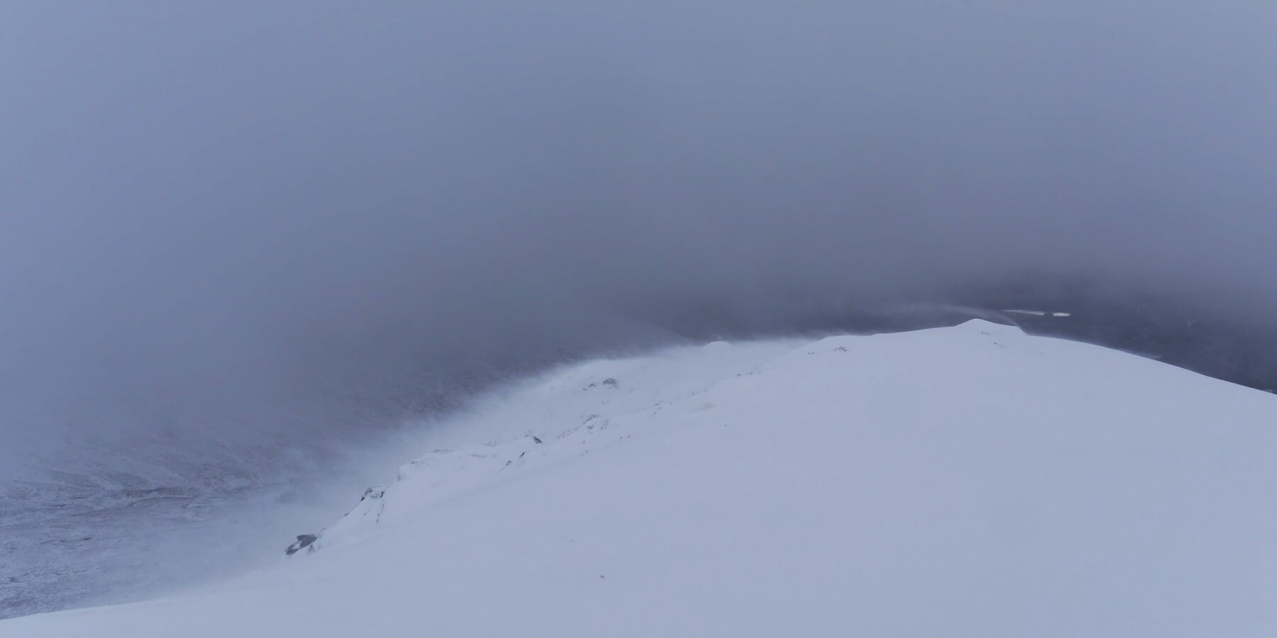
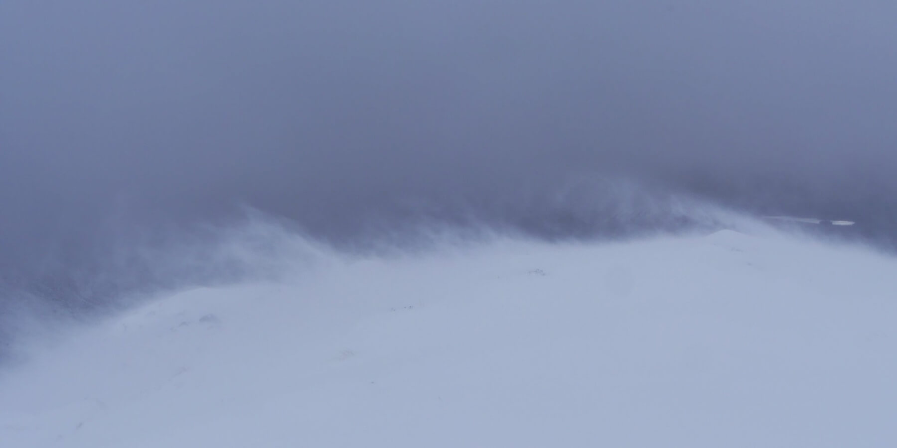 (Above) …then more profound and sustained after midday.
Comments on this post
Got something to say? Leave a comment