Overnight freeze
2nd April 2026
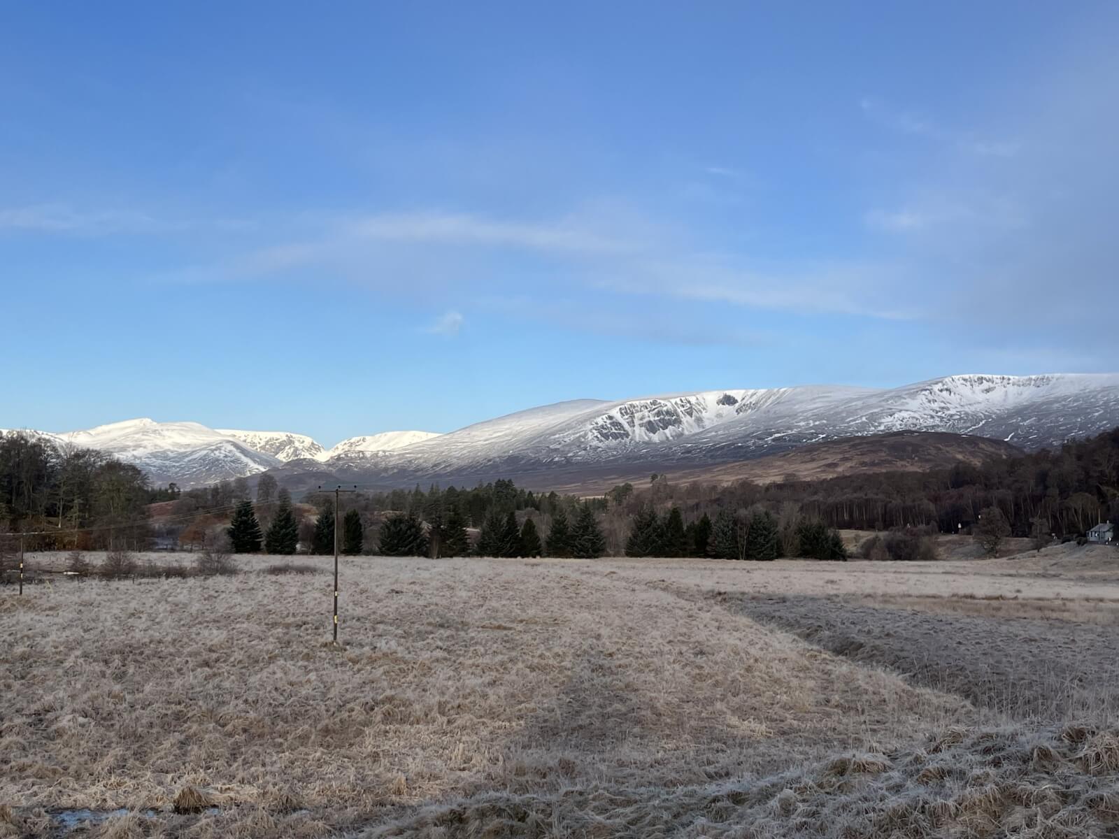
The morning dawned clear and cold with a hard frost down to lower levels. There has been some new snow after yesterday’s weather, though much of it fell on bare ground and accumulations did not seem to be extensive. Plenty of sunshine during the morning warming up the refrozen snowpack mainly on East through to South aspects.
All change for tomorrow though as we get a significant weather front passing over during the night bringing strong winds, snow and rain. Increased instability in the new snow overnight then a slight consolidation as the freezing level once again drops during the day. More snow, drifting and associated windslab developing through the day also (see report for more detail).
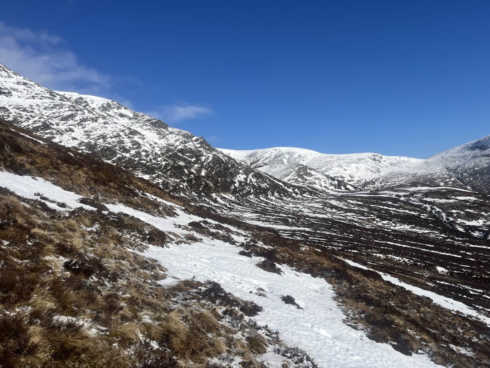
The Window, Coire nan Gall and Coire Dubh.
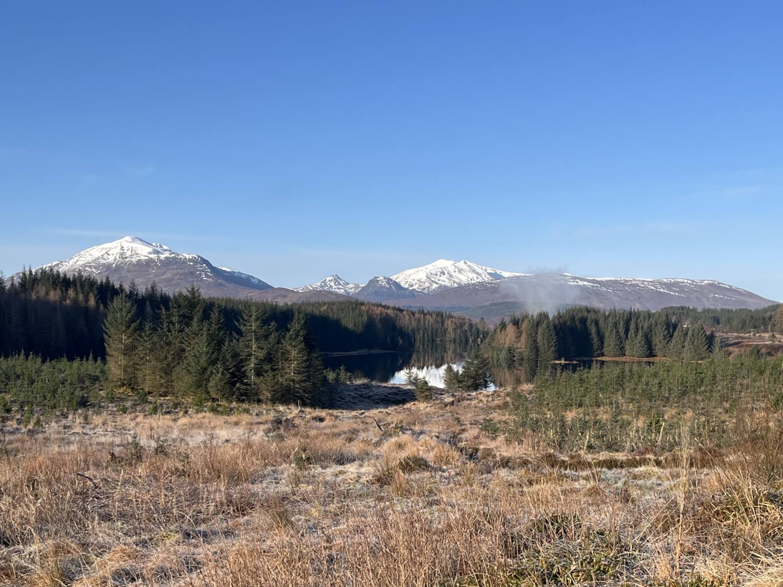
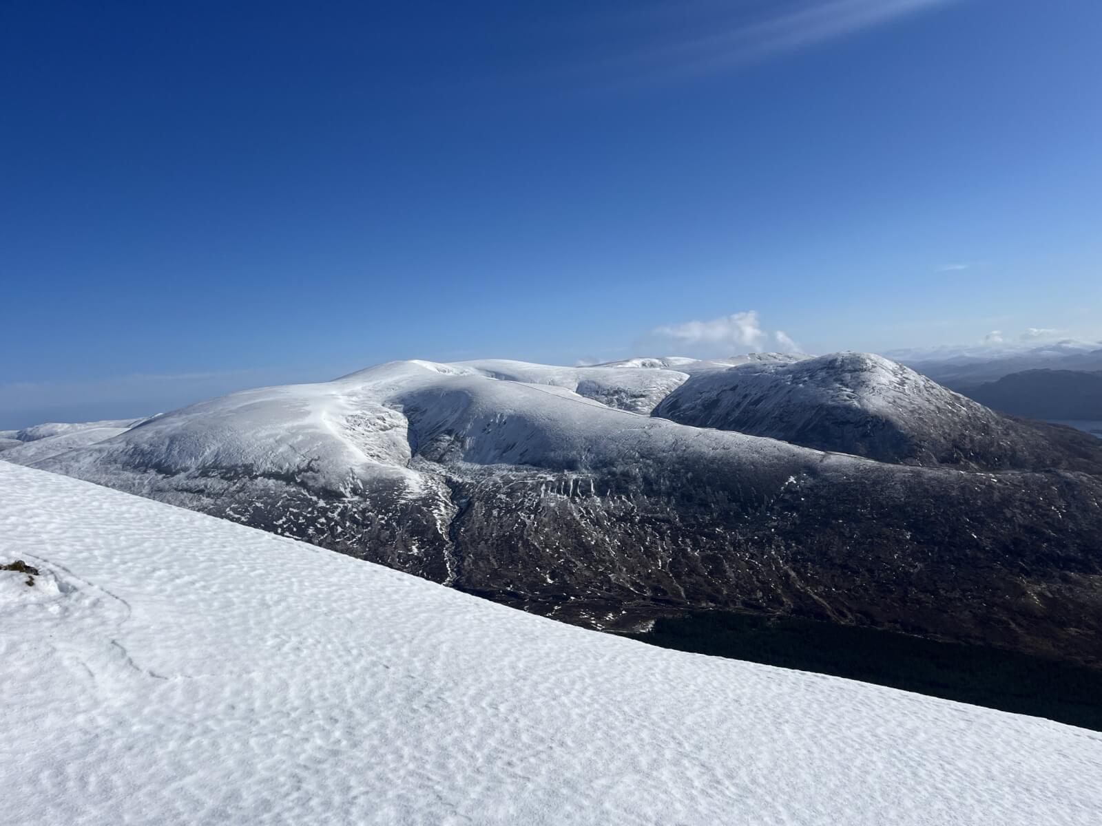
Looking South-West towards Loch Treig on the way to Beinn a’ Chaorainn.
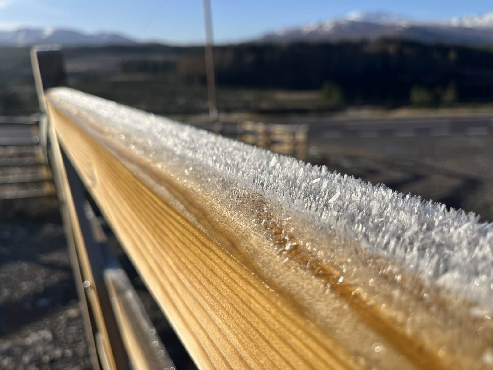
Surface hoar after a very cold night.
Snow cover on the Eastern slopes of Beinn a’ Chaorainn, Bealach a Bharnish in distant lower skyline.
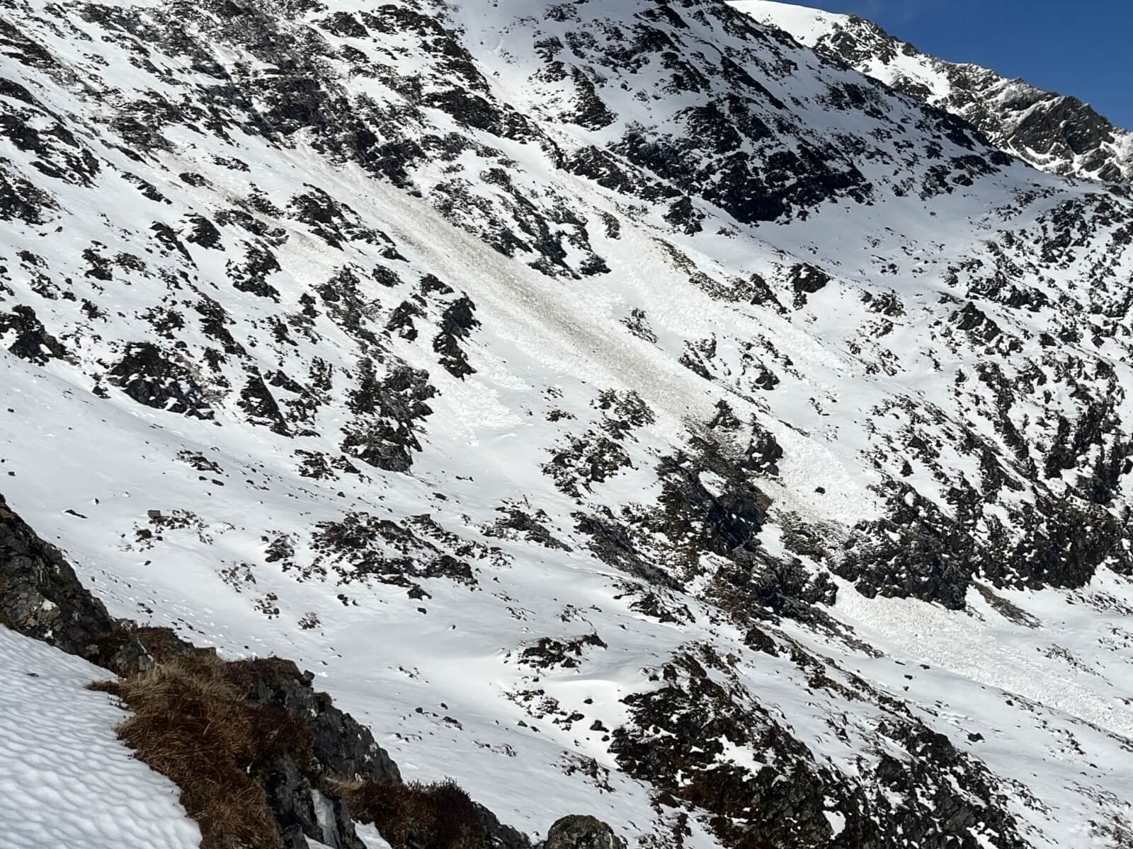
Significant size 2 avalanche debris observed in the coire just east of point 1049m. Most likely from the thawing event of 2 days ago.
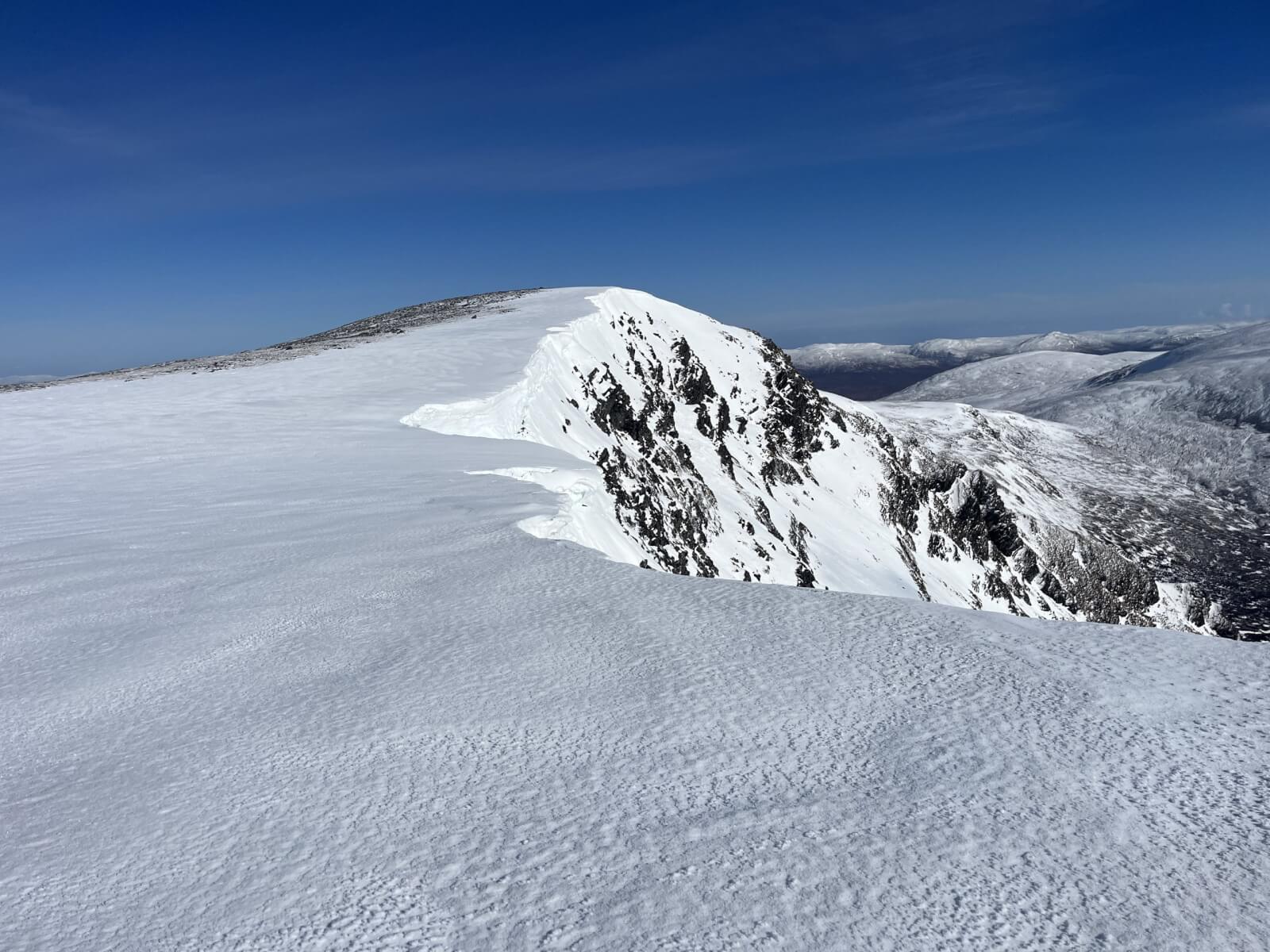
Crisp neve and good views.
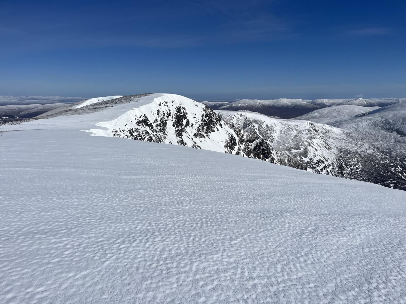
Remnants of some old cornices.
Looking towards Creag Meagaidh.
Comments on this post
Got something to say? Leave a comment


Keith Horner
2nd April 2026 6:04 pm
Looks a glorious day to be on the hills before we see saw into much more turbulent weather into the weekend – must be a Bank Holiday approaching…..