Spring or winter? You decide!
22nd February 2023
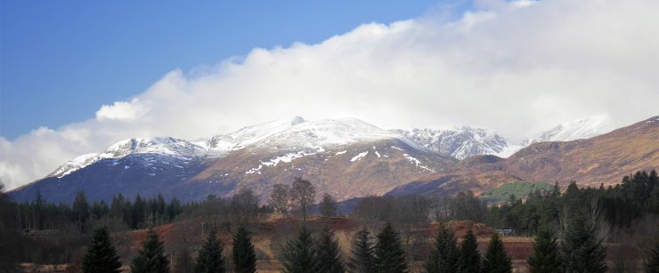
 (Above) The Big Picture. The view west towards some of the Creag Meagaidh hills, tops and crags.
 (Above) ENE, E and ESE aspects in Coire Chriochairein. The sun made its presence felt at least for a time today. Overnight snowfall and drifting put some new wind-drifted snow high onto these scarp slopes. The sun was warm enough to induce a little surface instability where the new snow had accumulated resulting in numerous single-point releases in this coire and on south aspects in Coire Ardair.
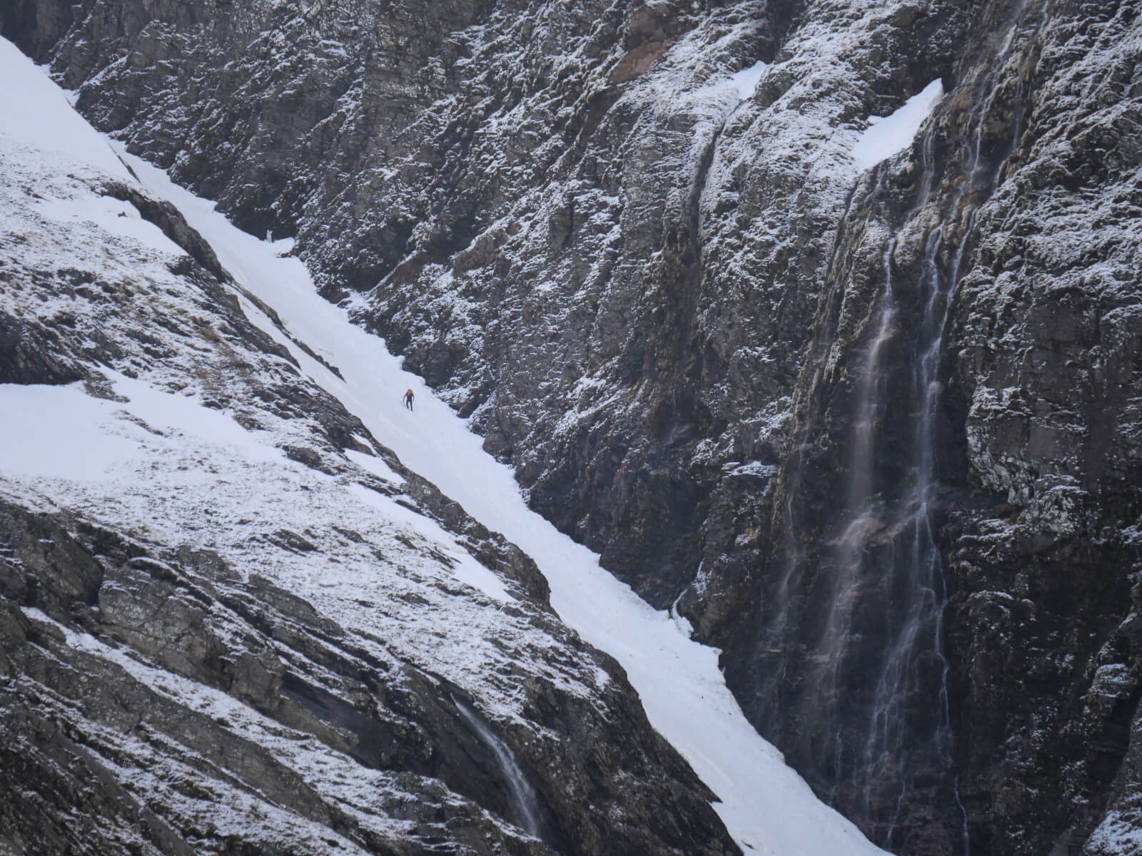
 (Above) Easy Gully, Coire Ardair. A long North-facing gully beneath an East-facing crag. The prominent cascade is where ‘Last Post’ forms, a popular ice route. But not today. The climber had the place to himself and would have experienced a wide range of underfoot conditions on his journey to the plateau. In the lower reaches some moist snow-ice becoming firmer with altitude. A little higher, some soft fresh new snow + gobbets of moist snow that will have fallen off the Post Face after the sun had done its work. Once on the plateau some drifting snow around his feet, too. See below.
‘Spring down low but winter up high’ just about sums it up.
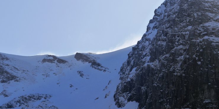
 (Above) Drifting at 1000m close to Bellevue Buttress.
 (Above) The NNE-facing crags of the Inner Coire of Coire Ardair.
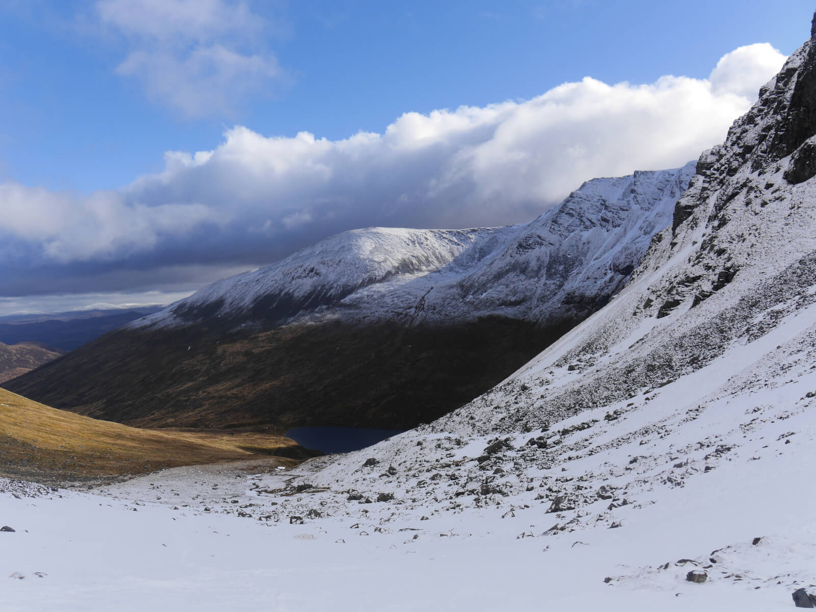
 (Above) Looking back into Coire Ardair from the Inner Coire. Fresh snow down to 750m this morning.
Comments on this post
Got something to say? Leave a comment


Keith Horner
22nd February 2023 7:02 pm
Spring or winter – perhaps it’s currently ‘sprinter’…..?
jim
22nd February 2023 10:18 pm
Hoping and praying at least some of this hangs around until next Friday. Hoping to do one of the gully routes up onto the plateau. Great work keeping us all updated!
meagaidhadmin
22nd February 2023 10:27 pm
Thanks, Jim.
We’re getting a ‘glimpse over the horizon’ weather briefing from the Met Office this Friday so should be able to pass on details of the weather outlook for the next 10 days or so. Here’s MWIS’s take on it:-
“High pressure building toward northern Scotland by the end of this week will lead to largely dry conditions well into next week, perhaps much further ahead. Rare light showers or snow flurries. Cloud will come and go, most sunshine in northern and western Britain. Higher Scottish summits sometimes poking above a cloud layer. Generally cooler than recently; summit temperatures near freezing point, with some daytime melting in sunlight, but refreezing overnight. Frost also common into valleys and glens. Easterly winds are likely to become locally very gusty, strongest over England and Wales, where often considerable chill factor across the hills.”
Stan Wygladala
23rd February 2023 2:16 am
Could be some extreme (good) weather into March as high level atmospheric warming brings Arctic conditions into Scotland and beyond. You heard it here first! If this doesn’t occur then spring will come early. Presently the snowdrops, crocuses and daffodils are out in my garden in Bristol. The birds, however, do not be seem to start nesting even though it is quite mild.
meagaidhadmin
23rd February 2023 9:28 am
Early signals are for ‘blocking’ conditions, apparently, which may mean little precipitation though cold at times.
Will see what the oracle from the Met Office says on Friday!
Edit: Friday 24th Feb. Outlook summary looks like this:-
(Below) Can now report that the Met Office believes that next week will be dry and cold up to 900-1000m (+/-) with milder air above that level, thus temperature inversion conditions and staying that way for most of next week. (The red line indicates air temperature. Note the predicted plus temperature values above 3000′(900m) altitude).
(Below) Beyond next week indications are for a NE (or maybe N) airflow bringing cold air and maybe some snowfall, but precip amounts are uncertain.