Temperature changes
21st January 2024
Storm Isha will bring quickly changing conditions overnight, giving a period of high instability. Then tomorrow, as the temperatures drop, the existing snowpack will consolidate, however, fresh windslab will develop. It’s a fairly dynamic picture at the moment, and it’s due to stay very changeable over the next couple of days. Please see the main forecast for details.
After our cold period a few days ago, we are now back to temperature cycles. What is fairly important, in respect of snow stability, is not just the amount of temperature change, but the rate of change also. This is shown quite well in the temperature graph for the summit of Aonach Mor over the past 5 days. We can see a nice slow rise over the 18th -20th Jan, which would help a slow consolidation, without causing too much instability. (It is worth stressing it would be a slow consolidation due to the cold temperatures at the start of this rise). Now compare that to the steep rise at the end of the graph, that was happening this afternoon, giving todays instability.
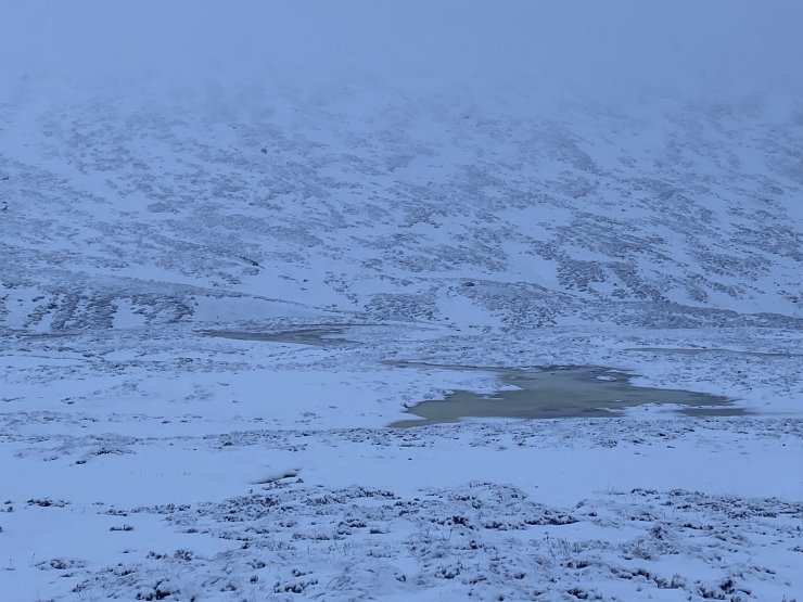
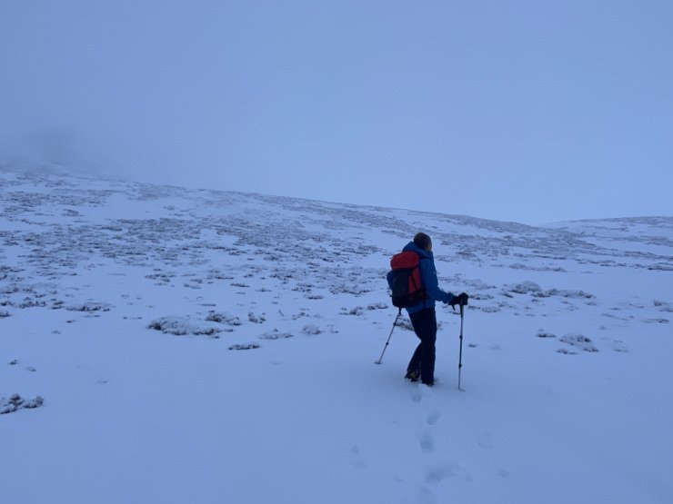
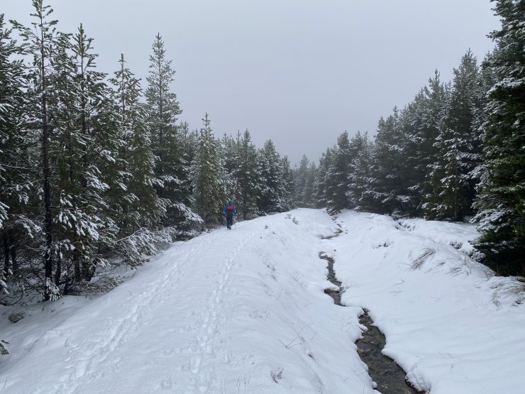
Today we headed into the East side of Beinn a Chaorainn, to try and get a feel for what level any new snow had come in at, and how the freezing level was changing.
Comments on this post
Got something to say? Leave a comment


