A mild South-Westerly flow
23rd December 2024
A mild South-Westerly flow arrived abruptly this afternoon bringing positive temperatures to the summit of Creag Meagaidh. This will create thaw conditions overnight that will continue, thereafter exacerbated by rain throughout the forecast period.
Extensive snow loss is expected over the next couple of days, so expect a full system reset. Isolated wet snow instabilities from the high cliffs of Coire Ardair cannot be ruled out, after which the Avalanche Hazard will be Low.

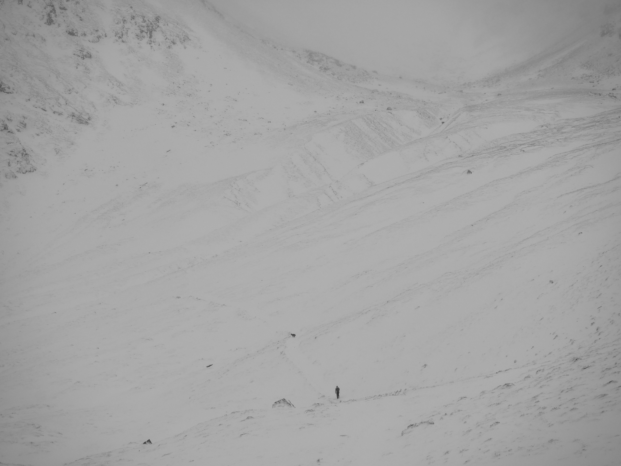
A lone walker and his dog was the only sign of activity prior to midday. Notice the cross-loaded accumulations of snow on the flanks of the stream beds to the right of the main path. Scoured ground abounds, but where snow has accumulated it is frequently 1m+ deep. All gone tomorrow in any case. Tough going underfoot with deep snow, and a particularly energy sapping crust between 500 and 600 metres ASL.

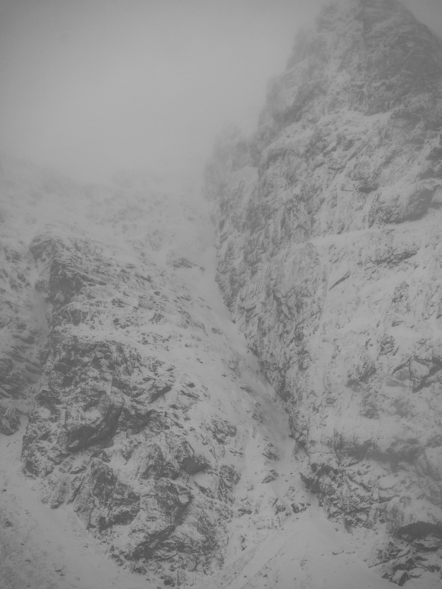
Looking into the confines of Raeburn’s Gully. Worth checking with previous images in the blog. Note the new snow accumulations here. Love them or loath them I thought I would get some images of these majestic cliffs using my drone today. Suffice to say it was more loathing than lust with the tech, as I struggled with sleet and snow contaminating the small plastic fuselage and covering the lens. With numb fingers I eventually brought it back to me. But reviewing the footage later I can confirm that there is nothing useable.

An interesting feature today. This tree at around 500 metres demonstrated the previous wind direction, blown snow accumulation on the right hand side. This aligned neatly with Allt Coire Ardair suggestive of a westerly wind that had been funnelled down the valley. Interestingly, it isn’t really evident in the image, but there seemed to be more snow at the base of the tree. Perhaps indicative of drift just above the ground surface?
Comments on this post
Got something to say? Leave a comment


