Becoming milder through the day
11th January 2026
Overnight and morning precipitation fell as snow above around 600-700m. Then the freezing level gradually rose to the highest summits from mid-afternoon and rain fell to increasing elevations. Instabilities developed during the day, especially in recently deposited windslab lying mainly on NW-N-E aspects above 900m.
Tomorrow (Monday) is expected to be a stormy day, with storm force SSW veering SW winds, with the freezing level dropping to around 1000m.
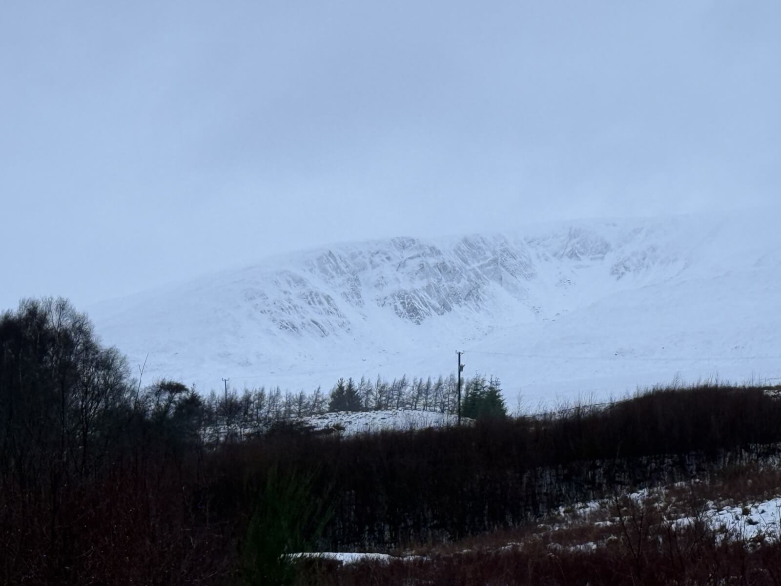
(Above) Coire nan Gall, Carn Liath.
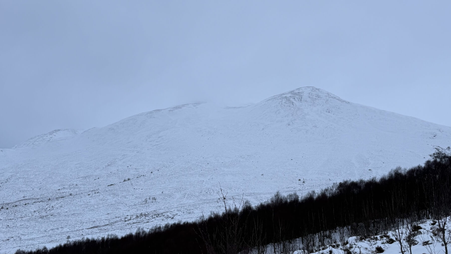
(Above) Sron a’ Ghoire East slopes.
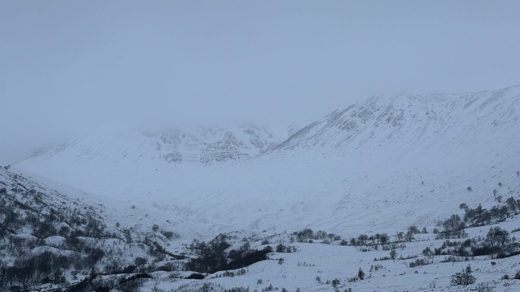
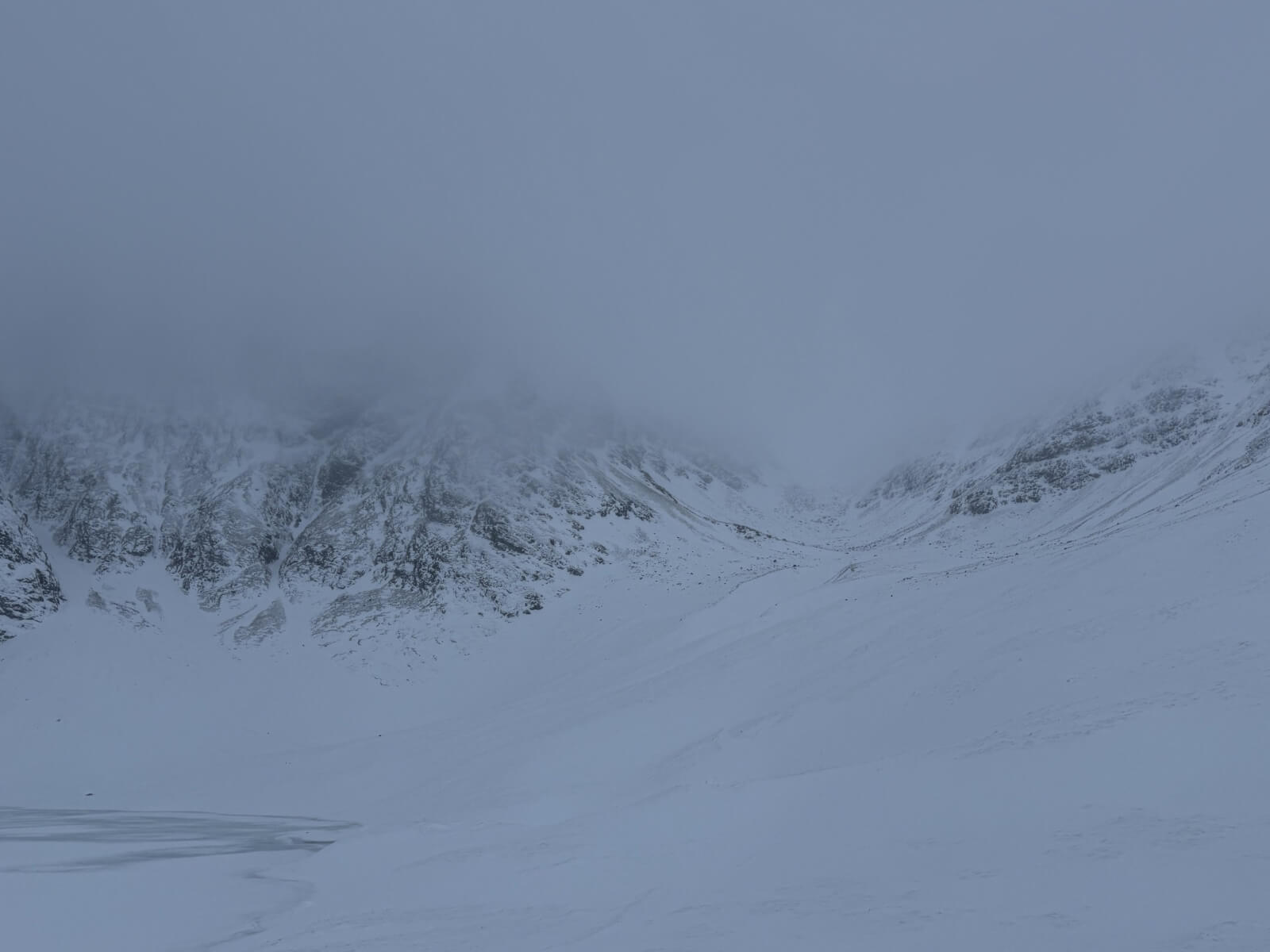
(Above) Coire a’ Chriochairein.
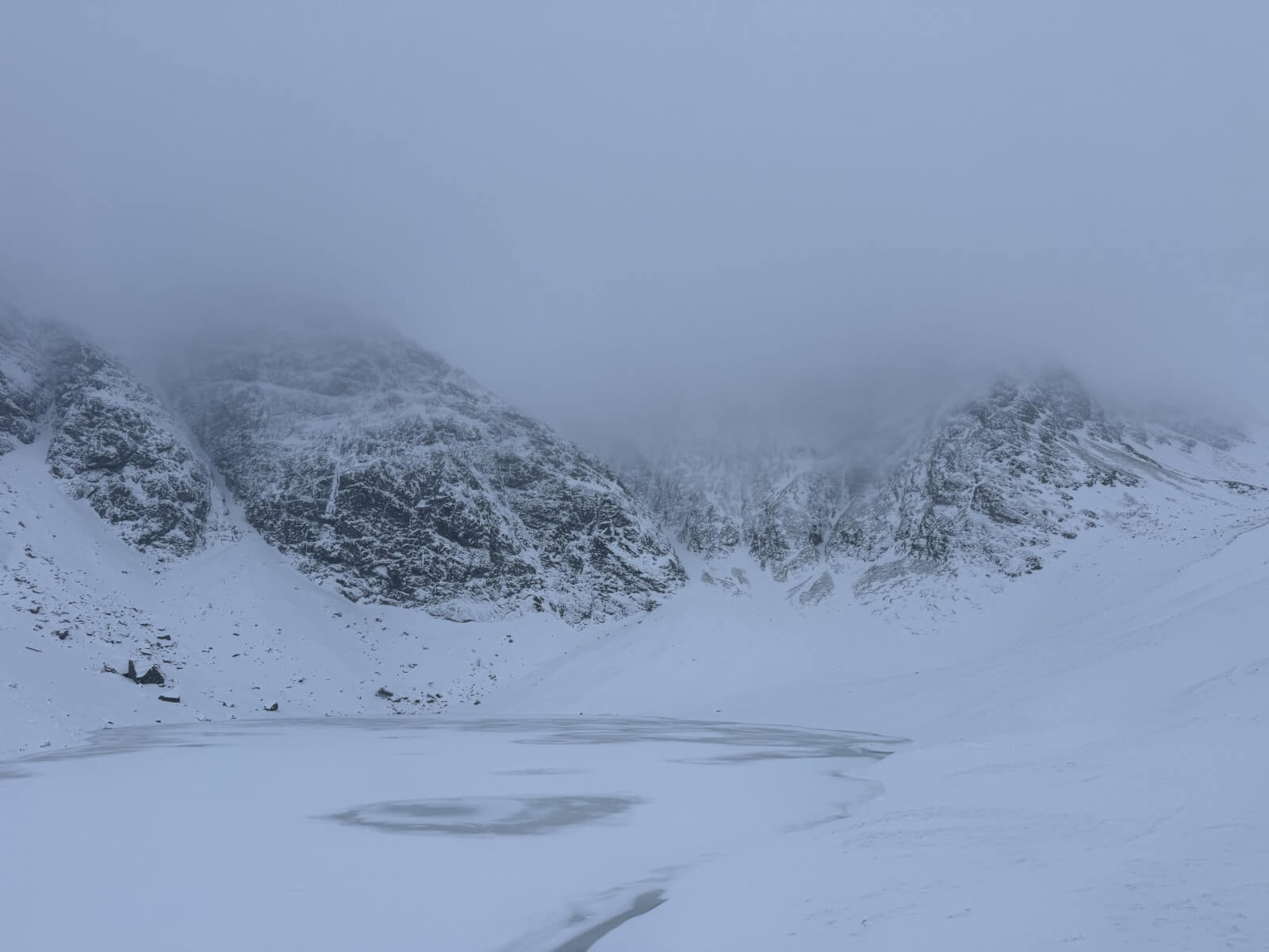
(Above) Coire Ardair: Pinnacle Buttress and the Post Face.
(Above) Coire Ardair with The Window towards the right.
Comments on this post
Got something to say? Leave a comment