Normal service resumes on Friday.
19th February 2026
A bit of Atlantic weather due overnight and on Friday with characteristic milder and moister conditions during the morning. Expecting rain at lower levels (below circa 700m) and some wind from the S, later SW. All a prelude to a weekend of more typical Creag Meagaidh mild & wet weather!
Today’s snowpack was interesting but quite difficult to unpack. Highly variable snow conditions – often cheek by jowl – from thin soft weak snow hard against crusty/hard snow-ice or strong dense ‘chalky’ old snow. Some cold-induced weaknesses in the mid-pack and at depth in some places – mainly on our most recent lee slopes. Hoping that the not too abrupt transition to milder conditions will eventually round out these deeper layers (aka consolidate them). Expecting some short term instability in tomorrow’s new windslab as the freezing level rises to near summit level.
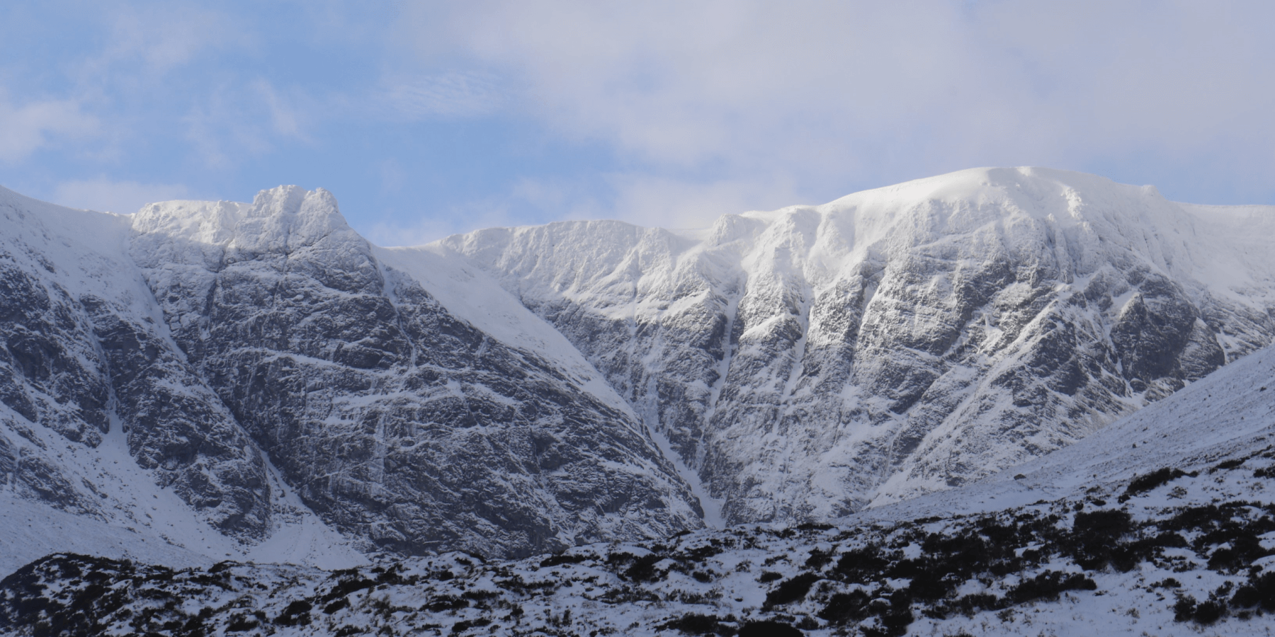 (Above) The crags and gullies at the far end of Coire Ardair.
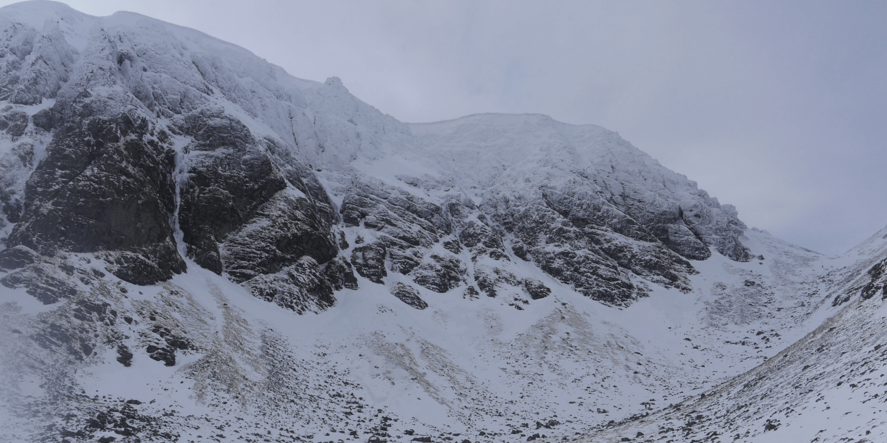
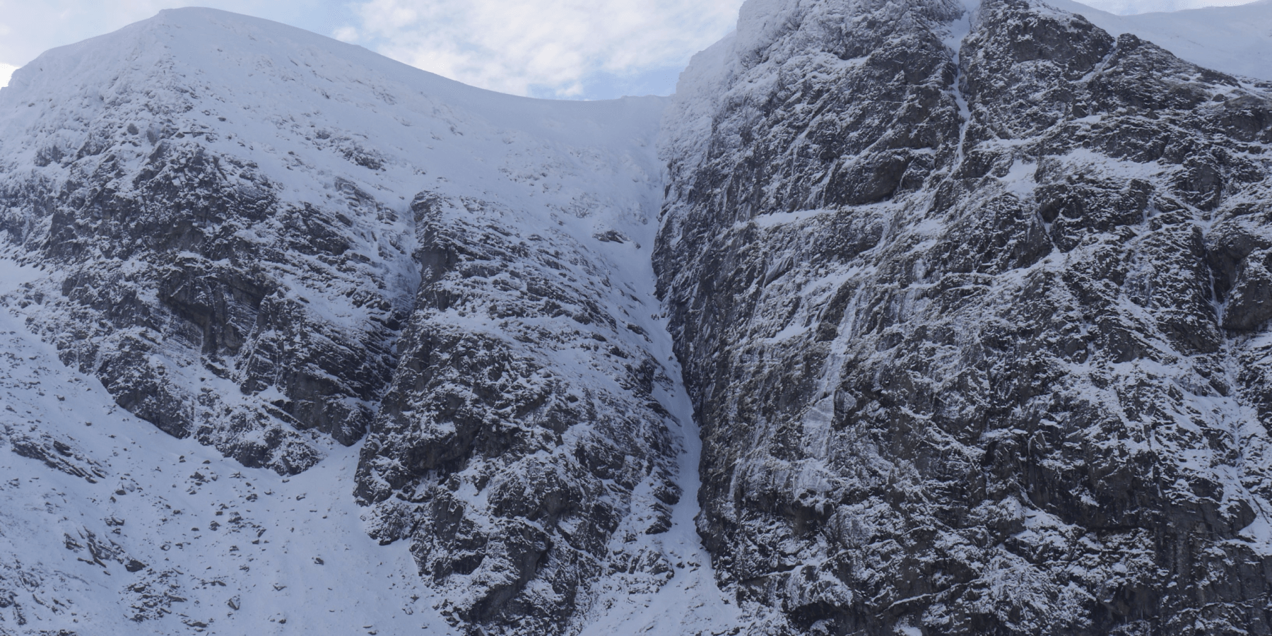 (Above) Raeburn’s Gully and Pinnacle Buttress. Climbers visible forming an orderly queue for the justifiably popular Smith’s Gully.
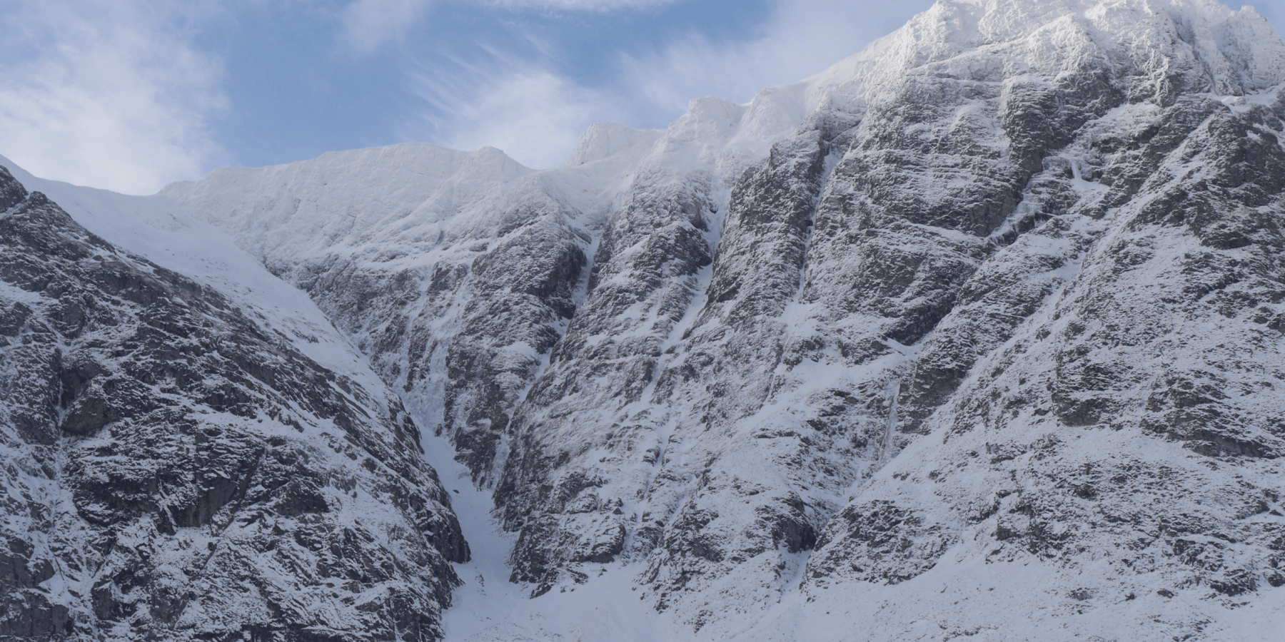 (Above) Easy Gully and the Post Face of Coire Ardair. ‘Last Post’, one of Creag Meagaidh’s signature ice routes in Easy Gully, has also been a very popular choice. Let’s hope it can survive the depredations of the forthcoming wet and mild fews days.
 (Above) The Inner Coire of Coire Ardair and The Window. The ascent/descent to/from The Window was hard and icy in places today.
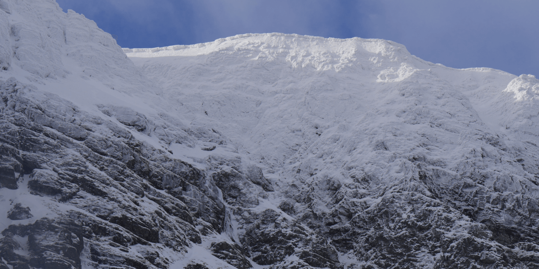 (Above) Much wind-denuded East-facing cornice line above ‘Cinderella’ in the Inner Coire. Cornices here were of comparatively modest size but may see some new growth on Friday then a period of weakening as the mild summit temperature take hold.
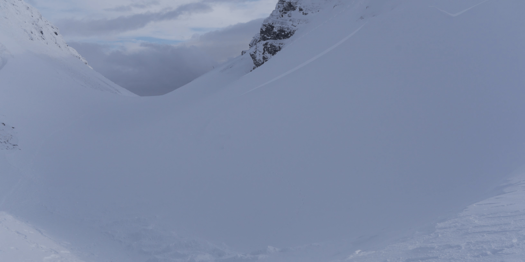
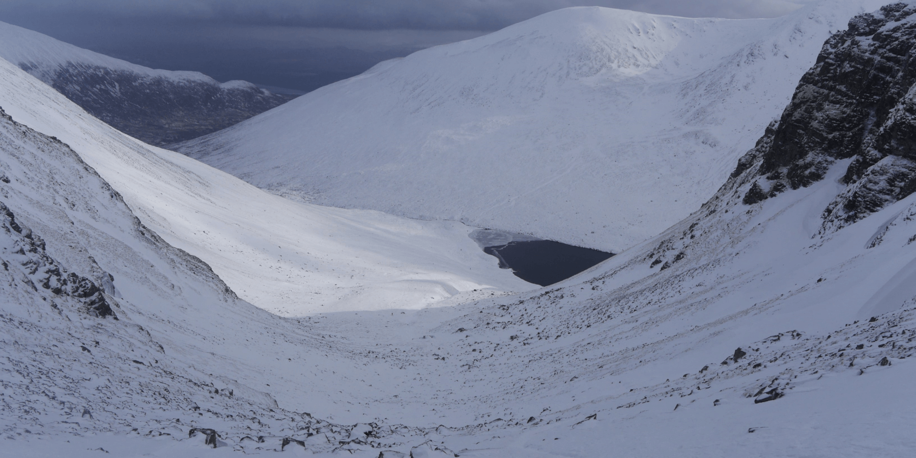 (Above) The view down into the Inner Coire and Lochan a Choire.
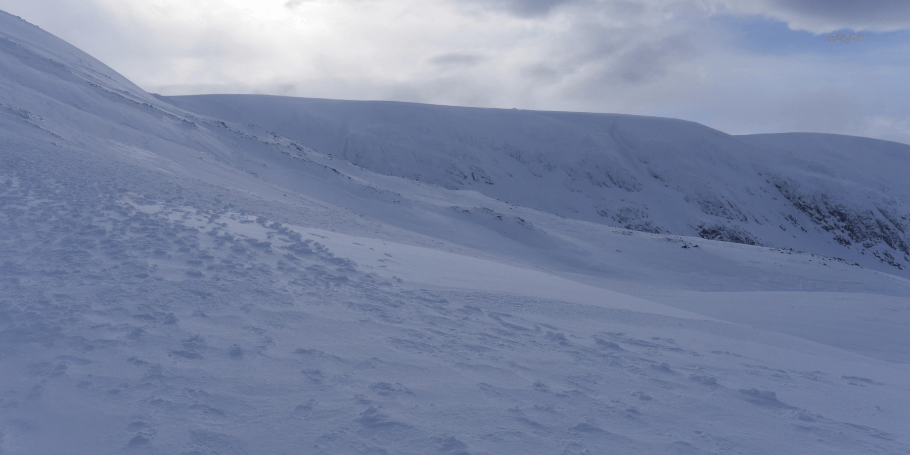 (Above) The back side of Creag Meagaidh summit with Mad Meg’s cairn visible on the horizon.
 (Above) Avalanche crownwall and debris at the western end of the The Window. Probably came down on Thursday after persistent drifting. Some possibility that it was remote triggered (see below) but likely very few people would have been wandering around here during yesterday’s maelstrom. The jury’s still out on this one. The debris at the bottom of the photo had been partly drifted over then scoured so was not easy to identify at first glance, leaving an esker-like mound in the bottom of the bealach.
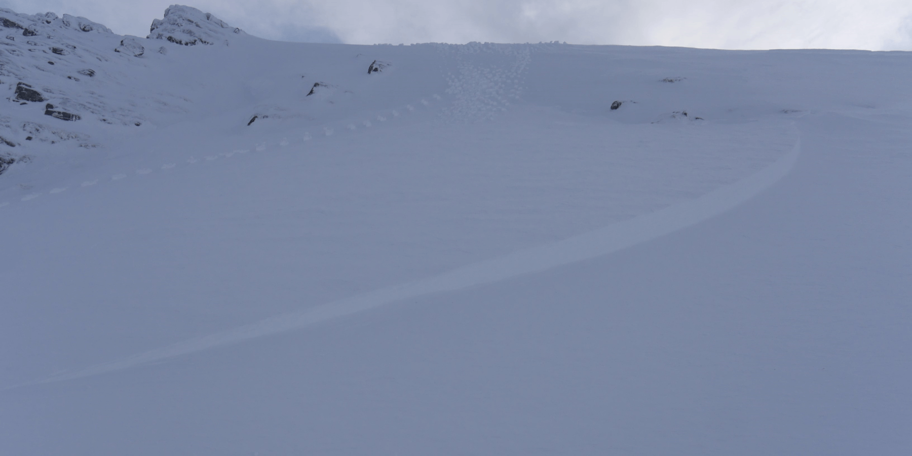 (Above) Raised footprints above part of the crownwall. The failure layer was one composed of partially facetted grains, though today this layer had ‘recovered’ a bit and produced clean but quite resistant shears. Size 1 avalanche on a NNW aspect at 970m. 80m crownwall, varying from 35cm to 10cm high.
Comments on this post
Got something to say? Leave a comment