Snow followed by rain
20th February 2026
Normal service has certainly resumed with South-Westerly winds bringing milder and wetter weather than of late. A couple of parties were spotted making a hasty retreated from the coire this morning. They had arrived early aiming to beat the rain and rising temperatures. It was reported to be snowing at the lochan at first light this morning, but this quickly turned to rain and the draw of coffee and cake must certainly have been more appealing than pressing on as the freezing level rose.
There was evidence of the fresh snow and overnight drifting above 800 metres. The snowpack was showing signs of consolidation but despite this, instabilities will remain during the next forecasting period, particularly given the onset of heavy rain.
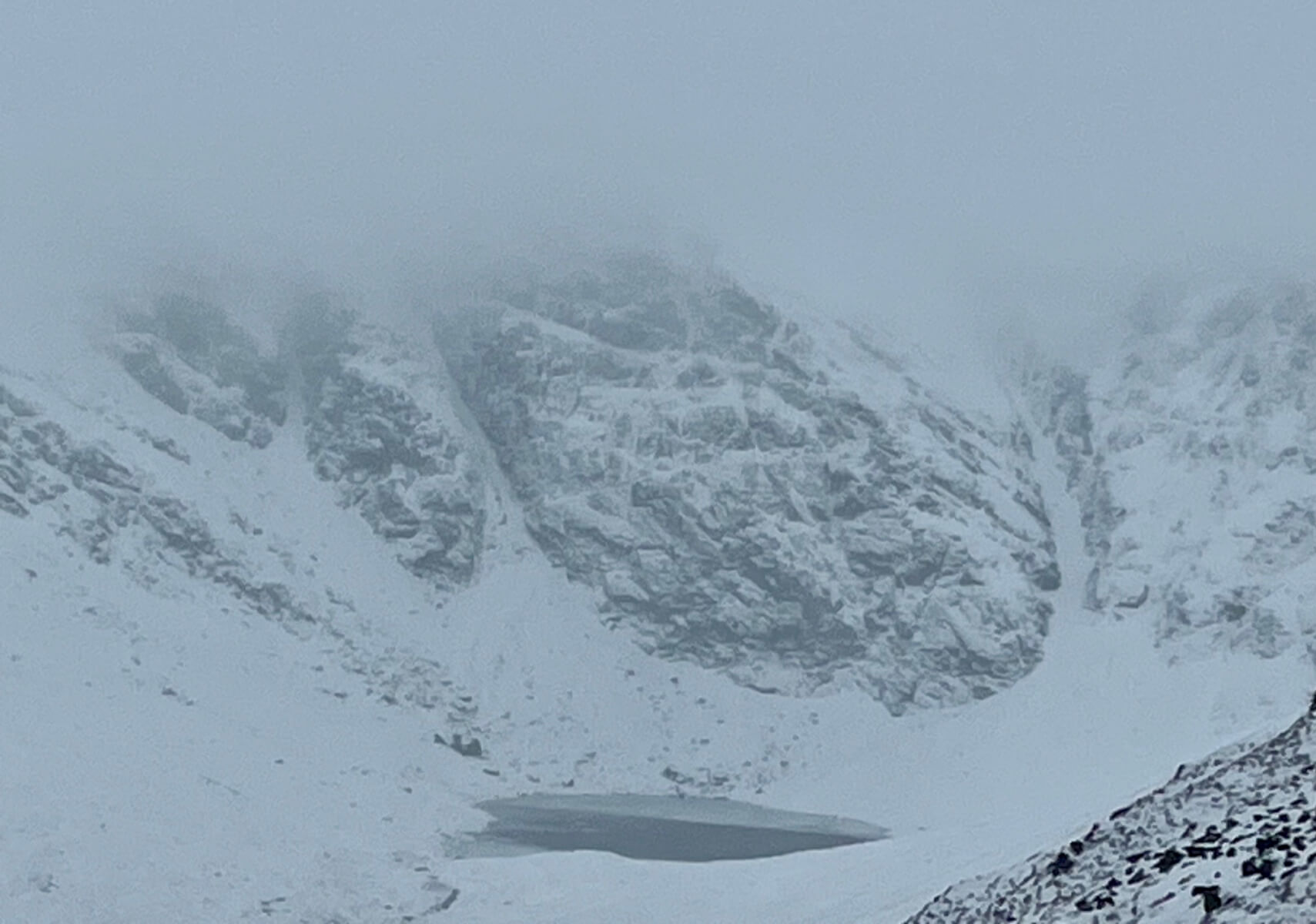
Coire Ardair at midday. The lochan was reportedly completely covered with ice at first light this morning. It’s hard to envisage that any of the remaining ice on it will survive into tomorrow. There is potential for ice and rockfall from the cliffs in the thawing temperatures.
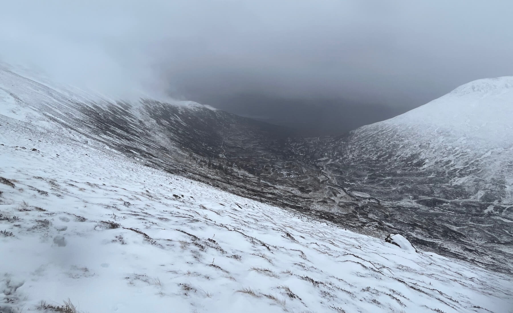
Snow cover looking out from Coire Ardair with no views across to the Southern hills today. The path into Coire Ardair can be seen and it’s still looks white from this angle. However, the reality was that it had mostly turned to a murky slush, making for a slippery journey.
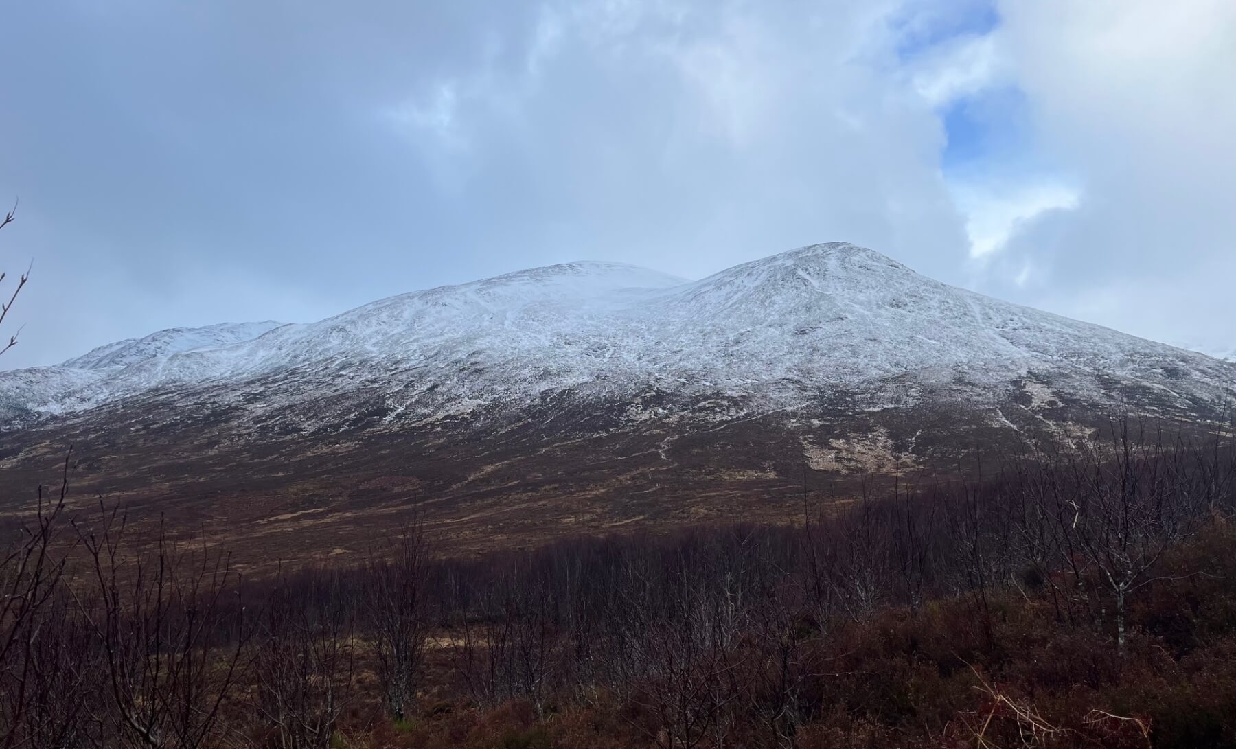
Sròn a’Choire and a rare glimpse of blue sky. The snow line here had receded up the hillside during the time of observations. Expect it to recede further up the hill tomorrow as the freezing level will rise to well above the summits.
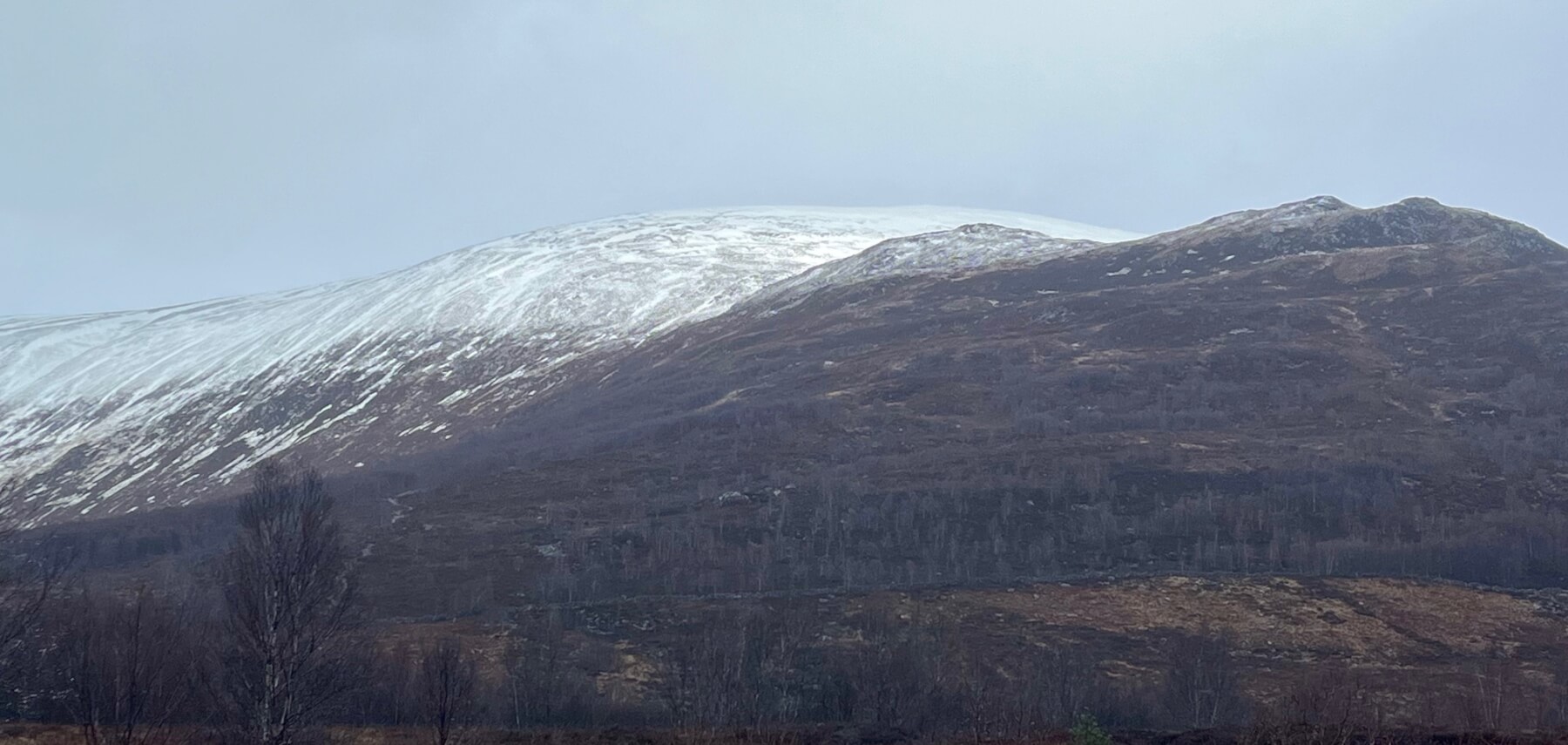
From Aberarder looking up towards the summit of Carn Liath. The spot height on the righthand side of the photo is that of Na Cnapanan 625m which gives a good indication of where the snow line was at this afternoon as it justs holds on to a bit of snow.
Comments on this post
Got something to say? Leave a comment


