Thawing snowpack and plummeting mercury
1st April 2026
The thaw has finally come to an end and just in the nick of time. Temperatures are continuing to drop throughout the afternoon which will improve stability. Some new snow is forecast for Wednesday evening and Thursday afternoon. Amounts are not expected to be significant, although during the afternoon, drifting is likely to cause isolated deposits of shallow moderately bonded windslab which will be mainly on North-West to North-East aspects above 850 metres (see report for more detail).
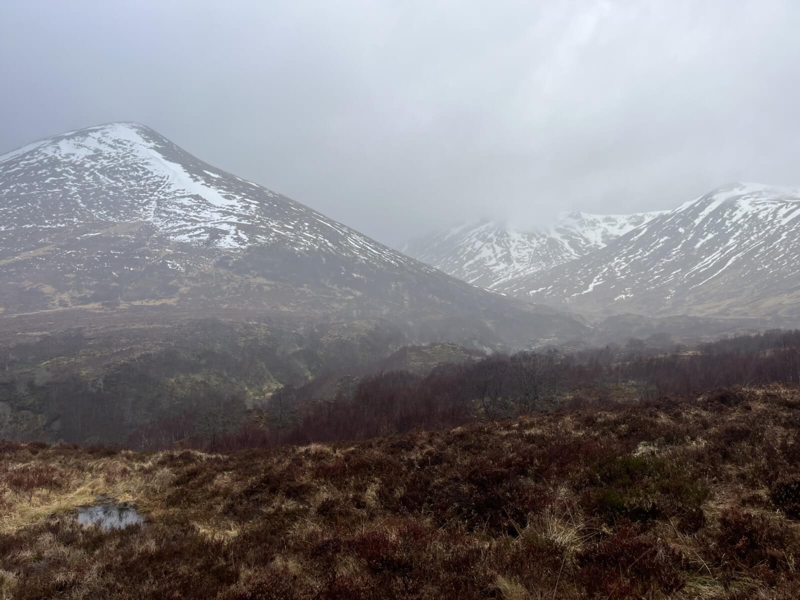
Moody skies first thing this morning.
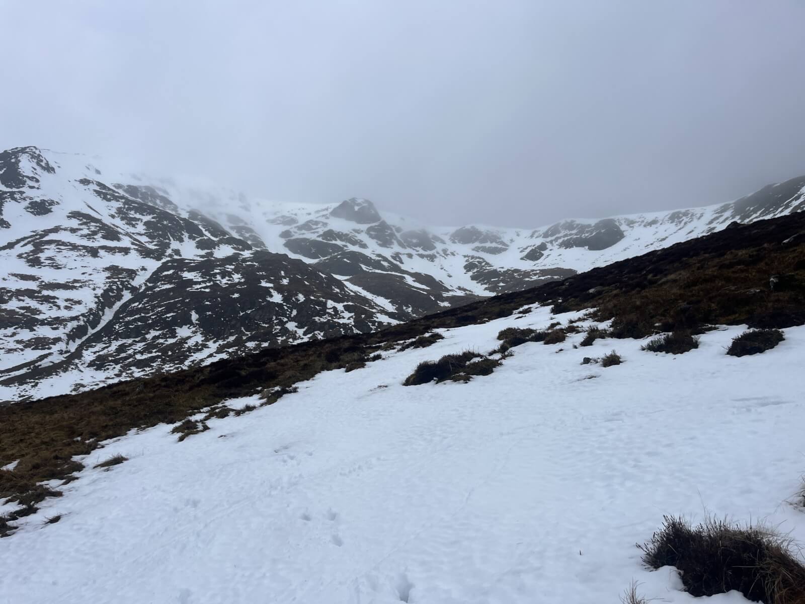
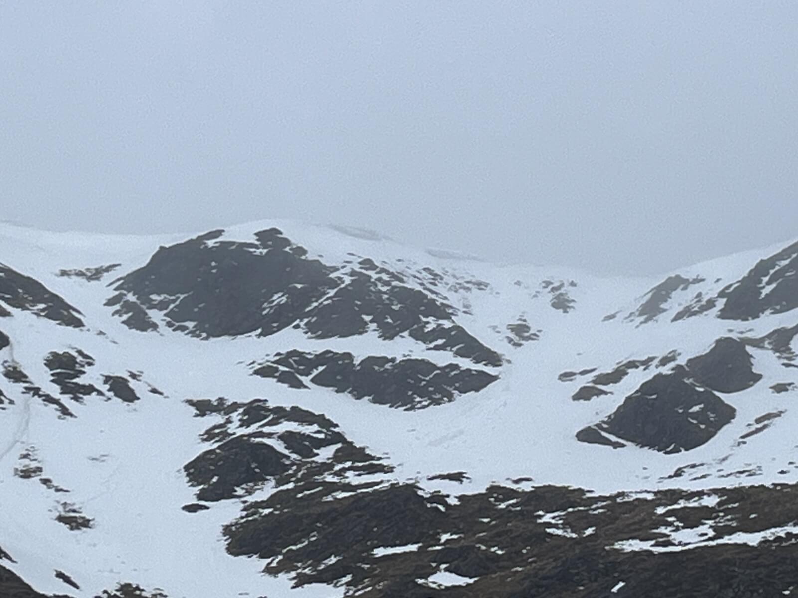
Coire Chriochairein still holding snow above 800 metres.
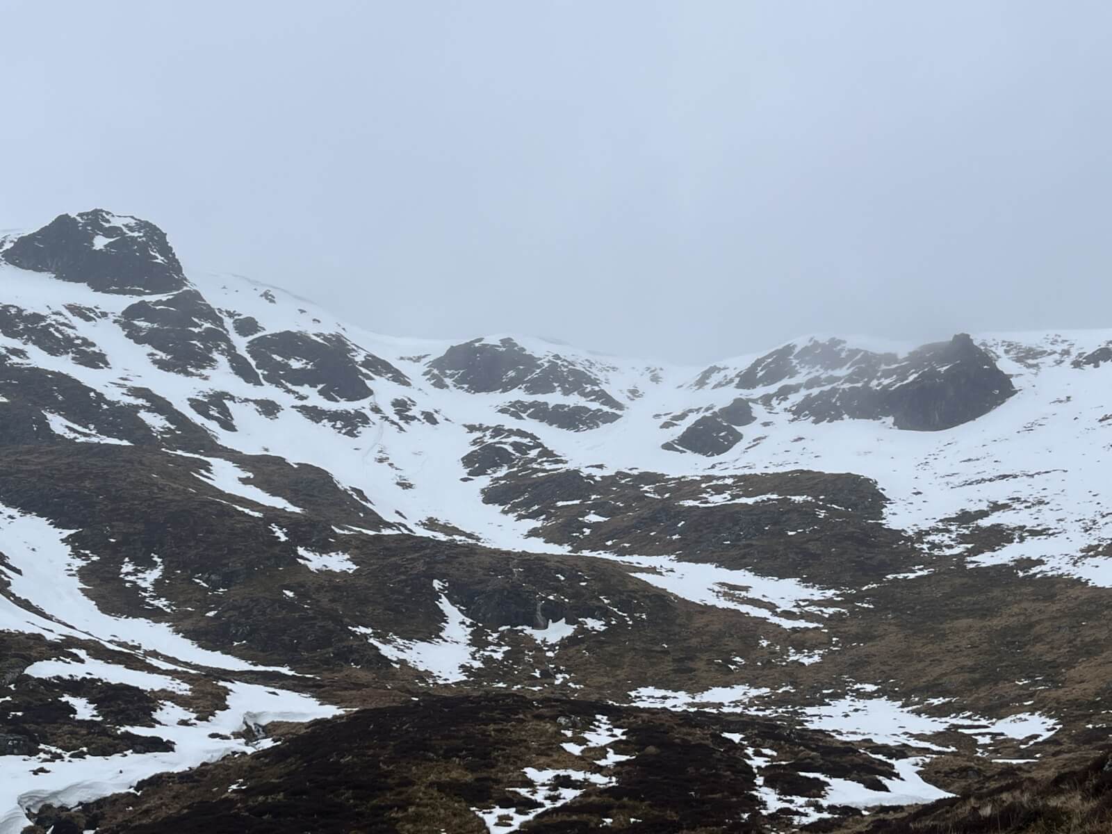
Closer view showing some remaining cornices on an Easterly aspect.
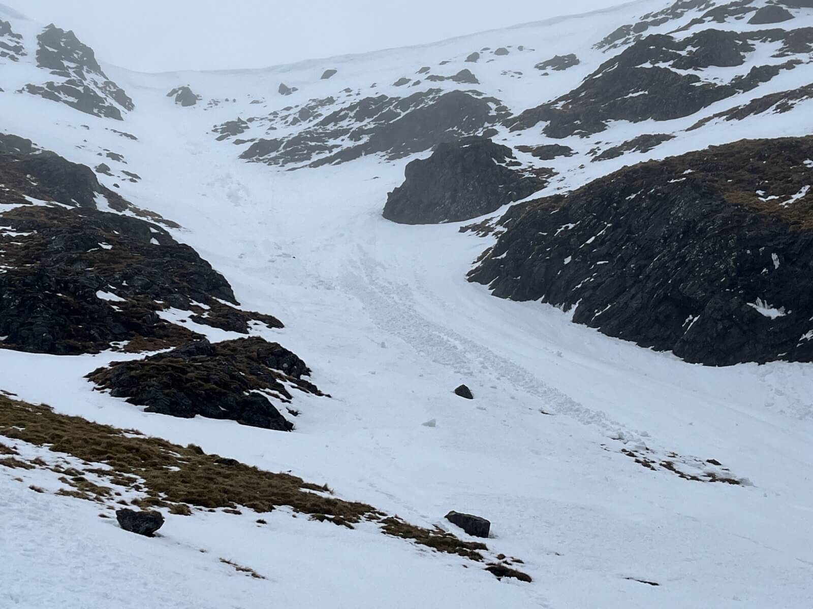
Cornice debris. Most likely collapsed yesterday.
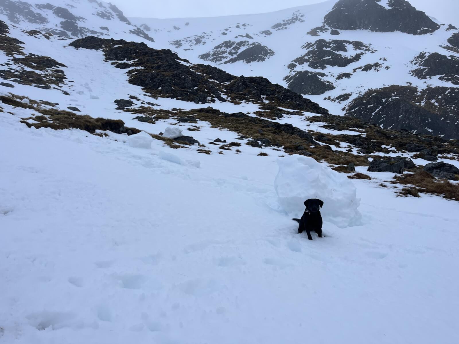
Further debris with black lab for scale.
Remaining cornices were prone to collapse as the heavier rain set in during the early afternoon. Lowering temperatures will help improve stability.
Comments on this post
Got something to say? Leave a comment


J
2nd April 2026 7:44 am
The best way to show scale is with a black lab!