When west isn’t best, at least at Creag Meagaidh.
3rd February 2021
Covid -19
The Scottish Avalanche Information Service issues information to support permitted activity under current Scottish Government guidance.
Please be aware of current mandatory travel restrictions in Local Authority areas within Scotland and respect local communities by referring to Scottish Government guidance and safe route choices for exercise. For further guidance please refer to the following information for hillwalkers and climbers and snowsports on ski and board.
This blog is intended to provide hazard and mountain condition information to help plan safer mountain trips.
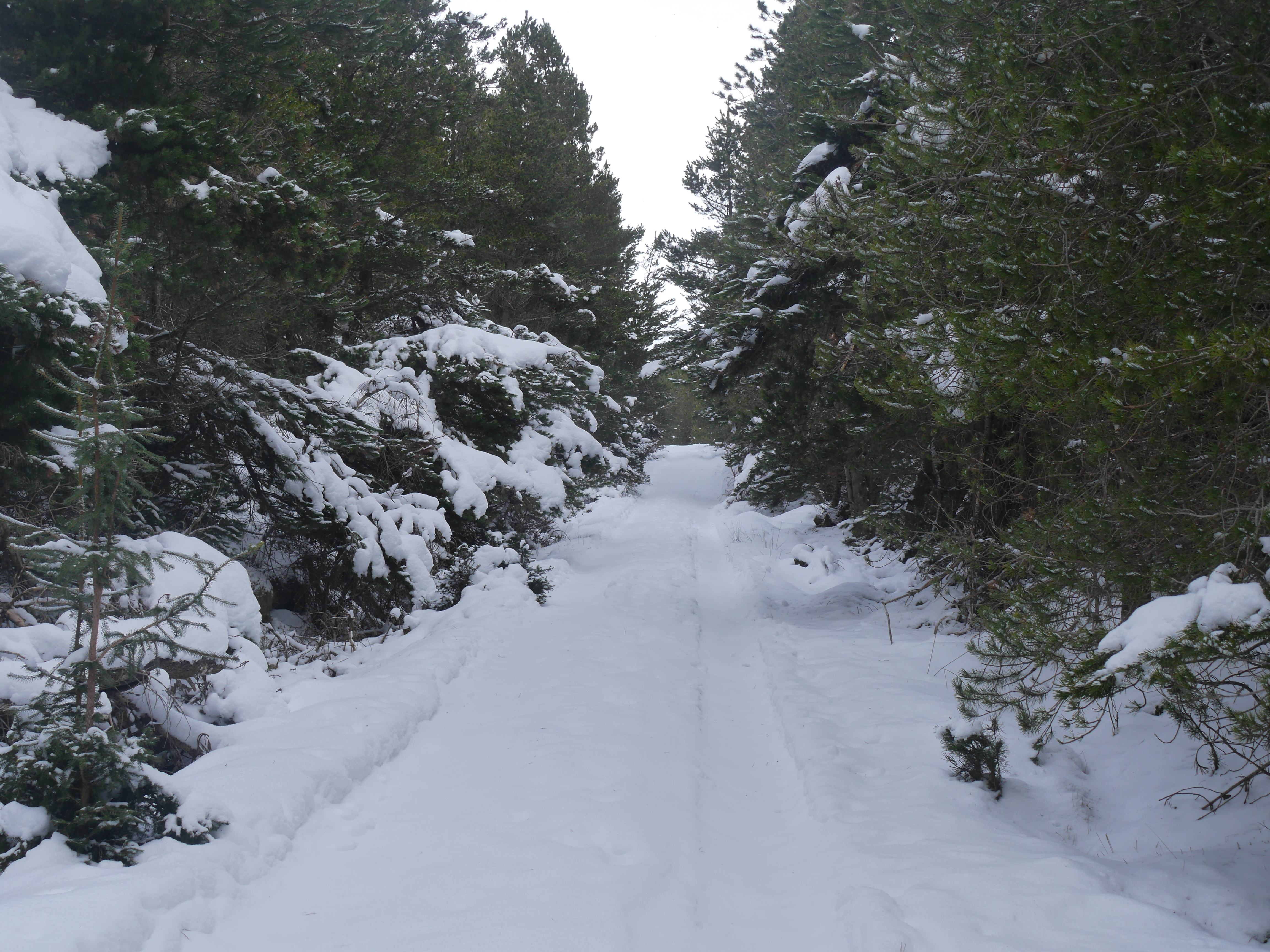
(Above) The main drag up through the forest to Beinn a Chaorainn. Used this for access whilst in search for a meaningful west aspect in Coire nan Laogh today. About 5cm of fresh snow on the track in the shelter of the trees and close to 7cm just before you break out the forest at the top. The fresh snow covers firm & crusty snow on the track and offers fast passage on skis or on foot. Different story beyond the trees though.
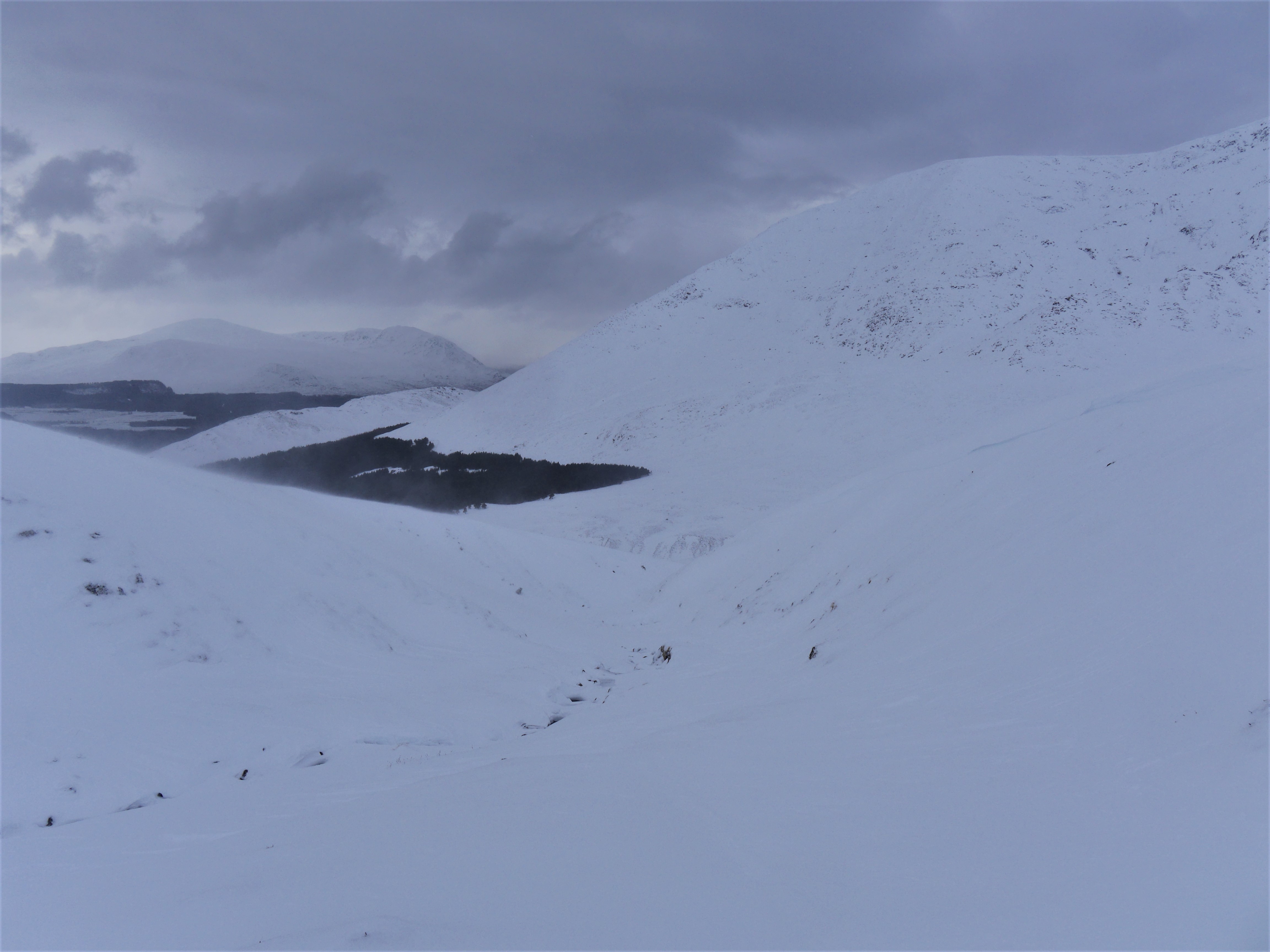
(Above) The entrance to Coire nan Laogh. The coire is initially a pronounced V-shaped valley eroded into the SW flank of the Creag Meagaidh summit massif. It widens out into a well defined shallow coire only in its upper reaches just 1500m from the summit of Creag Meagaidh. Truth be told, the upper coire is a bog-fest in summer but at the moment it holds a lot of snow. Plus it provides us with a selection of tolerably accessible West aspects which we’re actually a bit short of at SAIS Creag Meagaidh. Our persistently strong Easterly airflow and occasional snow showers means places like these provide us with the best snowpack information right now.
Everything’s a bit about face at the moment. West and South West are our most common wind directions so our hunt for instability is usually focussed on North to East aspects which are bountiful in Coire Ardair and many other places within our patch. Unfortunately, west aspects all seem to be in relatively remote and quite committing to get to locations! We’d better get used it though as it looks like we have another week to ten days or so of this airflow.
Arctic feel in Coire nan Laogh this morning. Abrupt transition from crust to wind-blown snow at lower levels, with the crust varying from firm and hard to thin and breakable in many places. Persistent drifting all day so was no surprise to find new snow instability where snow had accumulated as windslab in steep and sheltered areas. Also notable today was lee slope scouring but only on less steep ground where there was less shelter from the wind. Yesterday’s buried weak layer was responsive again just not as reactive. Perhaps increased snow-loading in the next week or so will bring about The Great Awakening of the buried weak layers quite a few SAIS areas have been reporting recently? Let’s hope not.
Comments on this post
Got something to say? Leave a comment


Mike
4th February 2021 12:25 pm
That was a very thorough and interesting post. Thanks. I don’t understand the difference between reactive and responsive : hopefully Google will reveal all
meagaidhadmin
4th February 2021 1:57 pm
Hi Mike,
Re. ‘responsive’ and ‘reactive’. I apologise, I should have made this clearer for our audience. I may have muddied the waters a little.
‘Reactive’ is one of the formal in-house terms we use in our snow profiles when describing the relative weakness of a layer and its propensity to fail (trigger) and produce a shear-fracture.
Going from stable to unstable the ranking looks like this:
Unreactive
Stubborn
Reactive
Touchy
There’s a very good table that lays this out with more detail here: http://infoexhelp.avalancheassociation.ca/wiki/Sensitivity_to_triggers_definition_table
To confuse matters somewhat, I used ‘responsive’ as a way of indicating that the buried weak layer was reacting but not wholly ‘Reactive’ and on its way towards being ‘Stubborn’, at least with the loading (snow overburden) it had when I carried out field tests on it on Wednesday morning. A fine distinction! Hope that clears it up for all our readership.
That particular buried weak layer may become more responsive (sic!) to failure as the load on it increases…becoming ‘Reactive’ or even ‘Touchy’. We’ll have to see how much more snow and drifting there is, plus see how the grain structure in that weak layer develops. It is entirely possible that the weak layer will become stronger as the temperature gradient through the snow eases even though the snow remains persistently very cold, which it has been for some time now.
Weak layers within the snowpack develop fastest when snowpack temperatures are ‘warm’ (a relative term!) and the air temperature is very cold. (A difference of 1 degree C over 10cm down through the snowpack is a critical threshold). As the snowpack becomes consistently cold from top to bottom the process of weakening (constructive metamorphism) becomes much slower in mid-pack weak layers and can halt. Much, much colder air temperatures are then required to restart the weakening process. Since the ground temperature is always close to 0 degrees C., a steep temperature gradient can persist here at the base of the snowpack when the rest of the snowpack above is consistently very cold throughout. Hence ‘basal weakening’ can continue. A mid-pack weak layer can survive and remain persistently weak but eventually it will succumb to a very slow process of destructive metamorphism, or ’rounding’, if there’s little or no change in air temperatures.
Less cold air temperatures and slack snowpack temperature gradients allow more rounding to occur and is generally a stabilising trend….as long the snow remains below freezing, otherwise you’re talking about wet snow and a whole new avalanche forecasting problem!
In general, snow in the Scottish mountains is known for its fast consolidation (stabilising) rates though we can, and do, get a distinctly Alpine-like snowpack on occasions – the winter of 2009-10 comes instantly to mind.
Day off for me today hence the rambling reply.