Collapsing cornices.
26th March 2021
Covid -19
The Scottish Avalanche Information Service issues information to support permitted activity under current Scottish Government guidance.
This blog is intended to provide hazard and mountain condition information to help plan safer mountain trips.

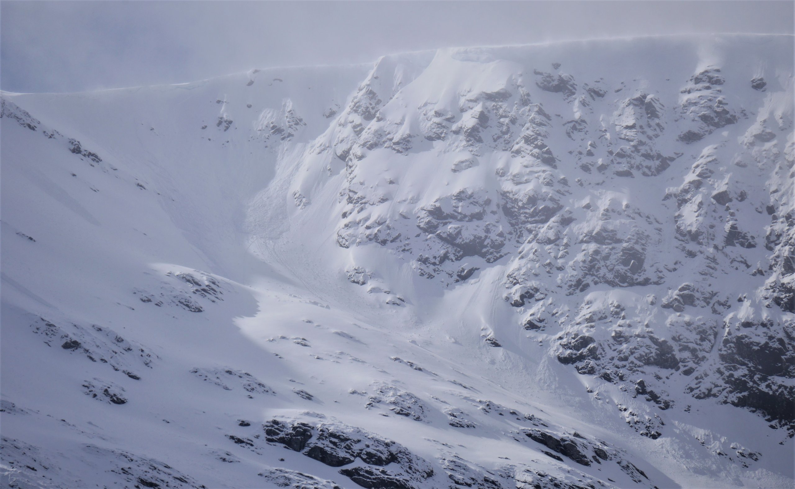
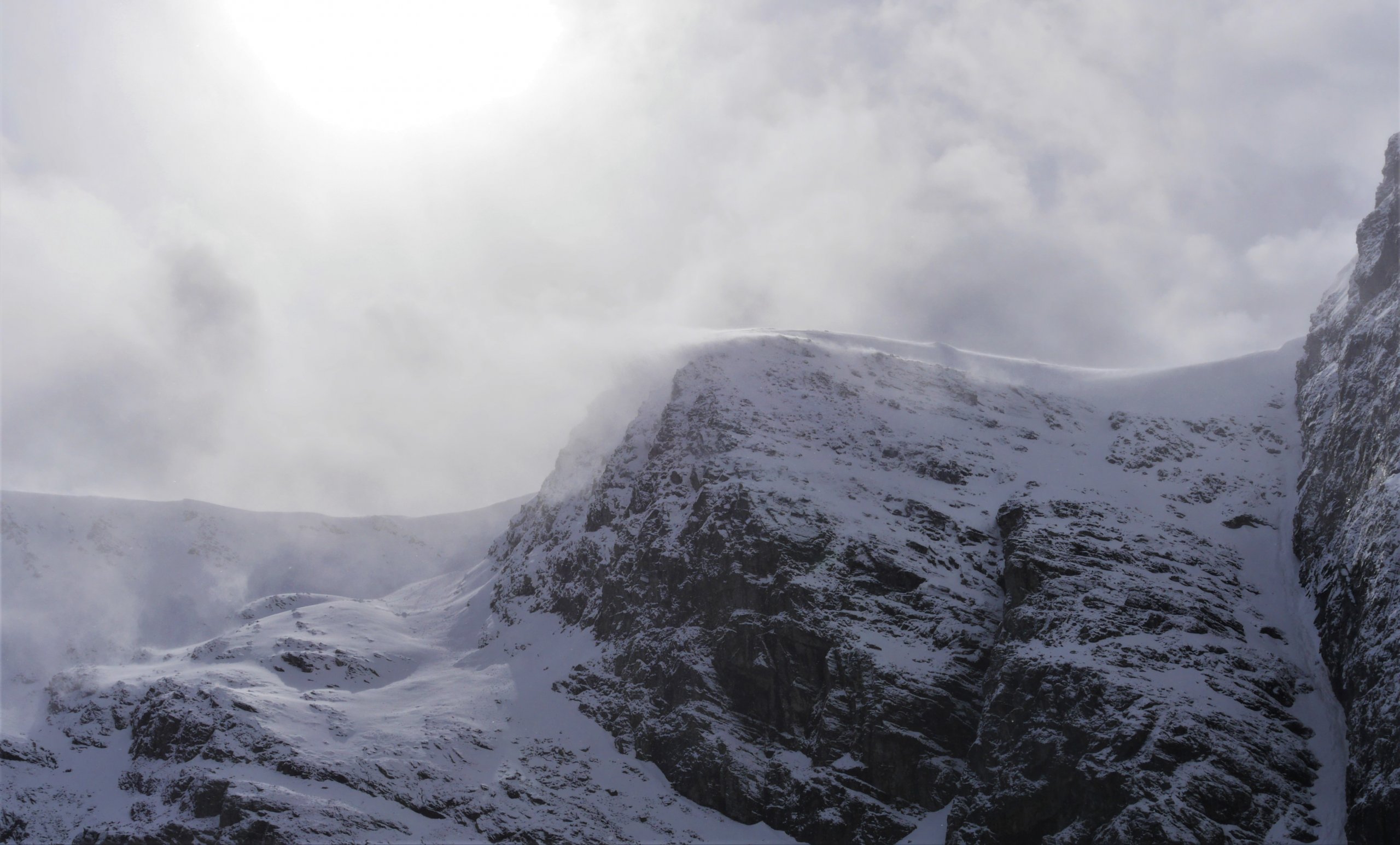
(Above) Cornices over an ENE aspect of Coire Chriochairein. Top of the skyline is just under 1050m. Cornices and collapsing cornices were a bit of a feature today in Coire Ardair and nearby crags and coires. Persistent drifting in and out of showers led to the rapid development of these cantilevers of snow over steep lee slopes. At the time of reporting, the collapsing cornices hadn’t triggered the windslab laden slopes below. Brief exposure to the sun – particularly at this time of year – followed by cooling (in the shade) can assist the consolidation of snow making it slightly more ‘elastic’ and less prone to shear-fracture. The shorthand for this process in the published avalanche report is, ‘fluctuating temperatures’. In many cases a reasonable amount of snow was bulldozed down the scarp slopes ahead of the cornice debris.

(Above) Fortuitous shot of a cornice collapse on the east-facing Bellevue Buttress (1060m) in upper Coire Ardair at 11am today. Sometimes you get lucky with the camera!
(Above) Profile shot of Bellevue Buttress after the cornice collapse. (Raeburn’s Gully on the far right). Not difficult to see why cornices had been building today.
 (Above) Evidence of a bit more cornice collapse action far left on Bellevue Buttress during the early afternoon.
 (Above) Sunlit wintry scene looking east from near The Window in the Inner Coire, above Coire Ardair. The small but beautifully formed glacial cirque of Coire nan Gamhna up to the left of shot. Fresh snow down to 600m. Plenty of swirly spindrift falling like slow motion waterfalls down most of the NE to E facing steep crags at times today.
 (Above) The Post Face of Coire Ardair this afternoon. Noticeably more snowfall and drifted snow at the western end of the Creag Meagaidh patch.
More snow in the forecast overnight and during the morning on Saturday. Colder, too. Drifting is expected to continue right through the period so windslab distribution expected to be deeper and more widespread.
Comments on this post
 (Above) Evidence of a bit more cornice collapse action far left on Bellevue Buttress during the early afternoon.
 (Above) Sunlit wintry scene looking east from near The Window in the Inner Coire, above Coire Ardair. The small but beautifully formed glacial cirque of Coire nan Gamhna up to the left of shot. Fresh snow down to 600m. Plenty of swirly spindrift falling like slow motion waterfalls down most of the NE to E facing steep crags at times today.
 (Above) The Post Face of Coire Ardair this afternoon. Noticeably more snowfall and drifted snow at the western end of the Creag Meagaidh patch.


