Sublime to the ridiculous.
15th February 2016
Big change in the weather overnight and throughout tomorrow. Today’s 10mph summit winds to be displaced by 90mph gusts and snowfall.
Good to be out today though, if a bit tiring breaking trail:-
(Above) Deep snow on many approaches as low as 600m.
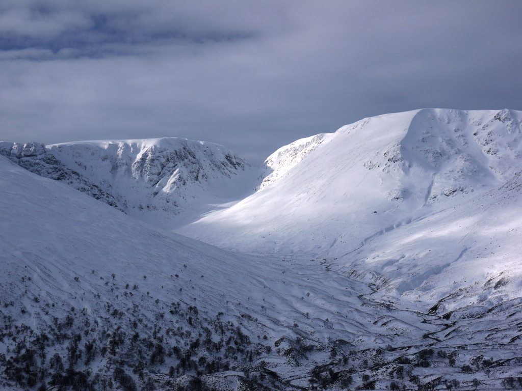
 (Above) Looking back from where the first video clip was shot. Good more or less complete cover above 550/600m.
(Above) Carn Liath plateau. Deeper softer snow made for slow progress unless on skis, though there are areas of harder sintered snow as well.
These vast tracts of cold, softer snow will be available for transport by very strong Southerly winds and most of it will end up on any aspect with a bit of North on it. There’s a fair amount of snowfall in the met forecast too, but wind can strip/redeposit way more snow compared to loading from wind-blown stuff that falls out of the sky. Facetting noted in the snowpack today, mainly beneath shallower deposits of firmer old windslab.
Buried weak layers and heavy loading do not a stable snowpack make. Â
Very cautious route choice advised on Tuesday.
 (Above) Unlikely to see this view again any time in the next 24hrs.
 (Above) The view when homeward bound.
Comments on this post
Got something to say? Leave a comment


Grant Duff
15th February 2016 6:27 pm
This must be one of the longer periods for considerable hazard risk.
meagaidhadmin
15th February 2016 10:16 pm
You’re right, Grant. Just hope mountain users aren’t experiencing ‘risk fatigue’ because of this period of elevated avalanche hazard. People need to be Zen Masters when it’s like this. The mountain isn’t going anywhere; their ski-tour, hillwalk or climbing route will be there for them another day.