Photo Opportunity
4th April 2017
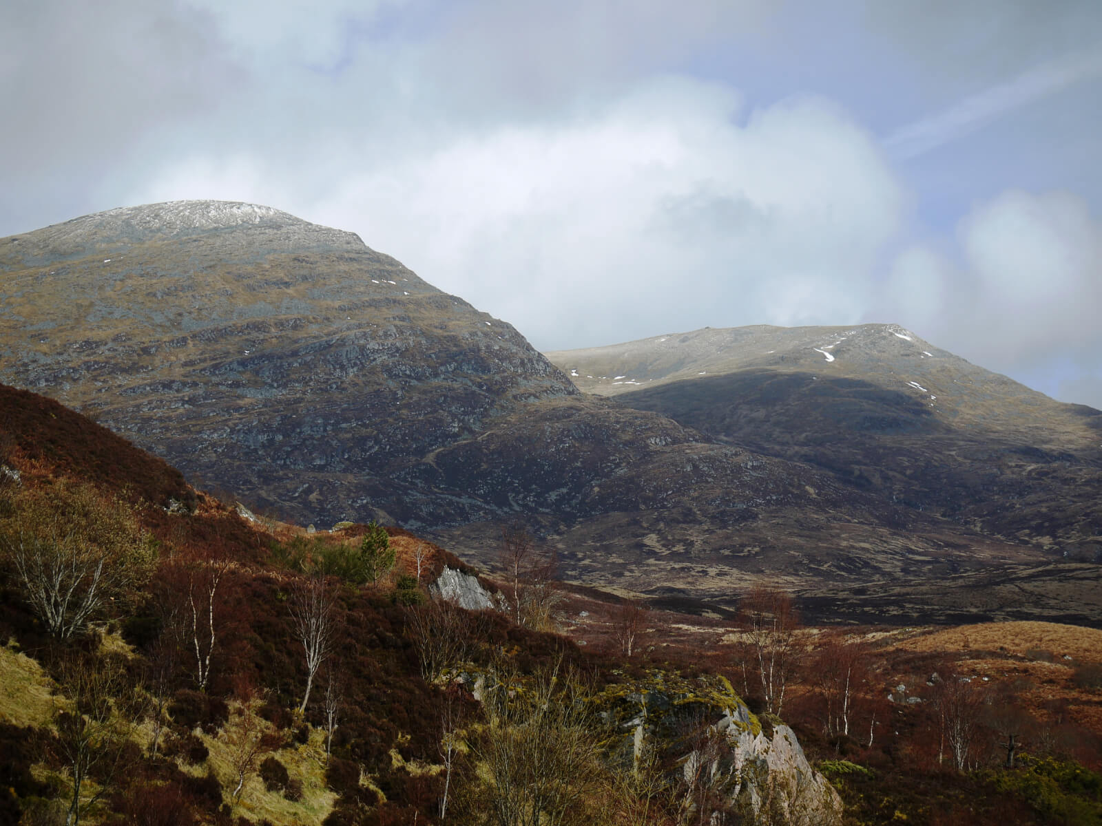 (Above) An Cearcallach left and Meall Coire Choile Rais right this morning. A wee dusting of snow above 950m but this was short-lived and had melted by the afternoon. Windward aspects in the photo almost devoid of older snow beds.
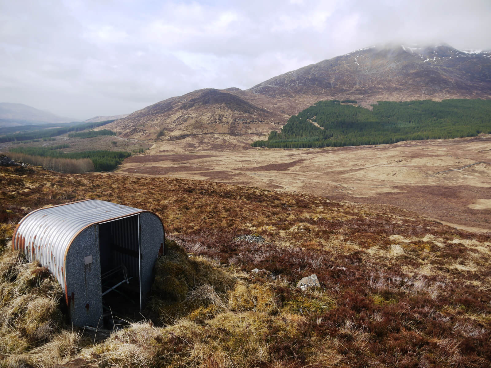 (Above) Came across a ‘Teletubbies’-type structure at my vantage point. An old switching and battery store for a long-extinct SNH estate communications system, I think. Remains of an old aerial nearby, too. Southern end of Beinn a Chaorainn in the background.
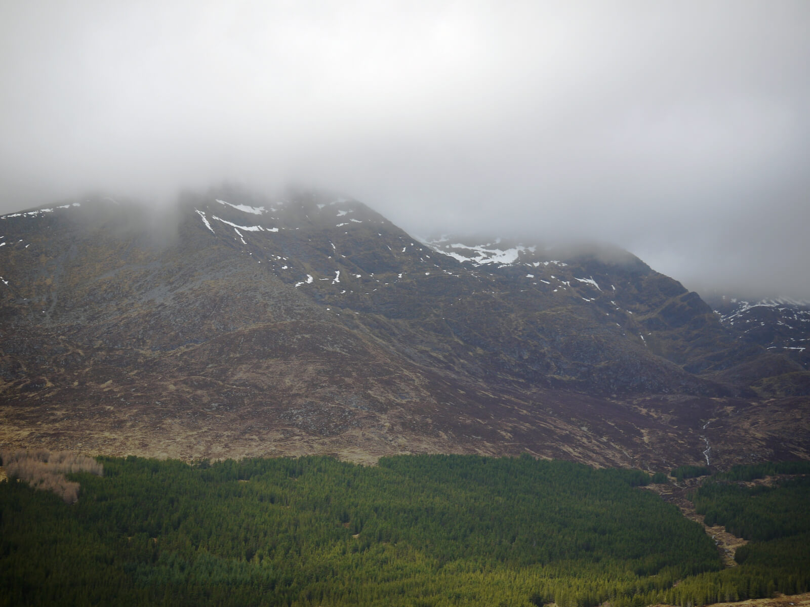 (Above) Beinn a Chaorainn in mist. Was like this for most of the morning. Seems to have its own weather system as was much clearer at times elsewhere. Snow cover on those Easterly aspects now much reduced by the sustained thaw. Shower of rain and a little hill snow kicked in around mid-morning.
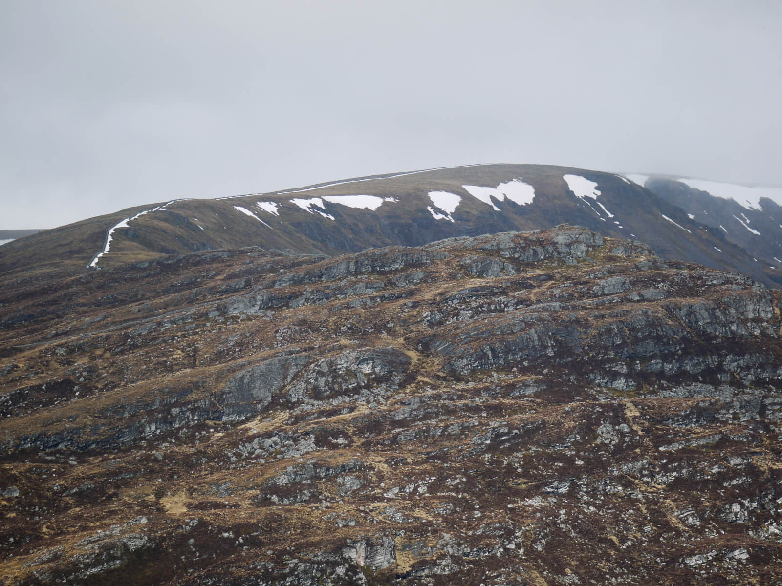 (Above) Looking across the Creag na Cailliche and its long ridge that works it way up to the summit of Creag Meagaidh. Moy Wall visible with its characteristic ribbon of snow hugging the lee of the stone dyke. Part of the steep backwalls of the Moy Corrie with larger snow patches prominent.
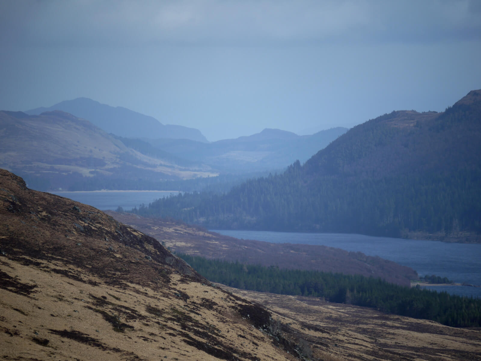
 (Above) Looking west across Loch Laggan to Stob Choire Claurigh and Stob Coire na Ceannain with snow on their North to Eastern flanks.
 (Above) Drier and brighter looking east. The triangular bulk of Creag Dubh high on the distant skyline with Loch Laggan ‘beach’ just recognisable. See Creag Dubh later.
 (Above) Followed the last section of the Moy Wall back down to where it meets the A86 trunk road. The wall marks the boundary between the ancient territorial districts of Badenoch and Lochaber and is also the western-most limit of SNH’s Creag Meagaidh NNR estate. The deer fence is SNH property and will have been put in a long time ago in an attempt to limit the passage of deer into the NNR. The wall itself just isn’t tall enough to be an effective barrier.
 (Above) Wall’s End. Â The Moy Wall remains, for the most part, in remarkably good nick but its terminus just sort of peters out. It’s very close to the road…..
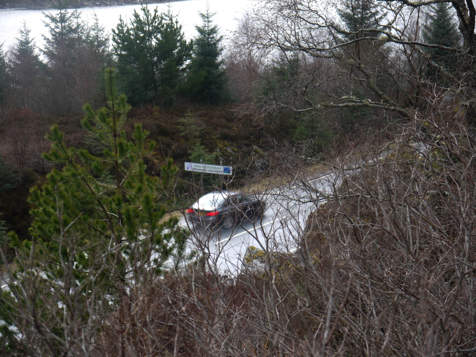 (Above)……….which is about 30m away. To this day it marks the boundary between these two ancient districts, as seen in the photo.
Photo opportunity.
With the winter season well and truly on the downslope thought it might be a good idea to invite our blog followers to contribute some photos of their own ventures into the Creag Meagaidh area this winter. If you’re interested, contact us through the ‘Comments’ at the bottom of the page and we’ll get back to you with an email address. Just ONE photo per person please, but include a little of your own commentary to explain your choice. Really important that it’s from this winter, too. Will try to publish one a day if possible. Here’s a starter below:
 (Above) A photo from ‘Aviemoron’, a particularly avid blog follower. Looking west towards the Creag Meagaidh massif and its surrounding plateau areas. The shot was taken from the SW flank of Creag Mhigeachaidh (742m), just above Feshiebridge on March 1st this year. (Creag Dubh the triangular hill with some summit snow to the right above the River Spey.)
Here’s what he said, Â ” We cycled from Aviemore on our mtn bikes to Loch an Eilean, past Drake’s Bothy, Feshiebridge and steeply up the Allt Ruadh path. Then some ‘hike-a-bike’ up towards the col below the 742m summit. Looking for a lunch stop with a view, we were drawn towards a cairn on the flank of the hill. The skies opened up briefly further west to bathe Creag Meagaidh in milky sunshine.”
Comments on this post
Got something to say? Leave a comment


