The storm before the storm
11th March 2019

(Above) Nearly 35cm of snowfall in the Met Office forecast for Creag Meagaidh over the next 24hrs…..before Storm Gareth kicks in. Not a huge amount of faith that we’ll see 35cms tonight and tomorrow but we’ll see.
Certainly wintry today at Creag Meagaidh but with a soupçon of ‘Mad March’ warmth & sunshine as well. The camera, as ever, only came out during the cloud breaks!
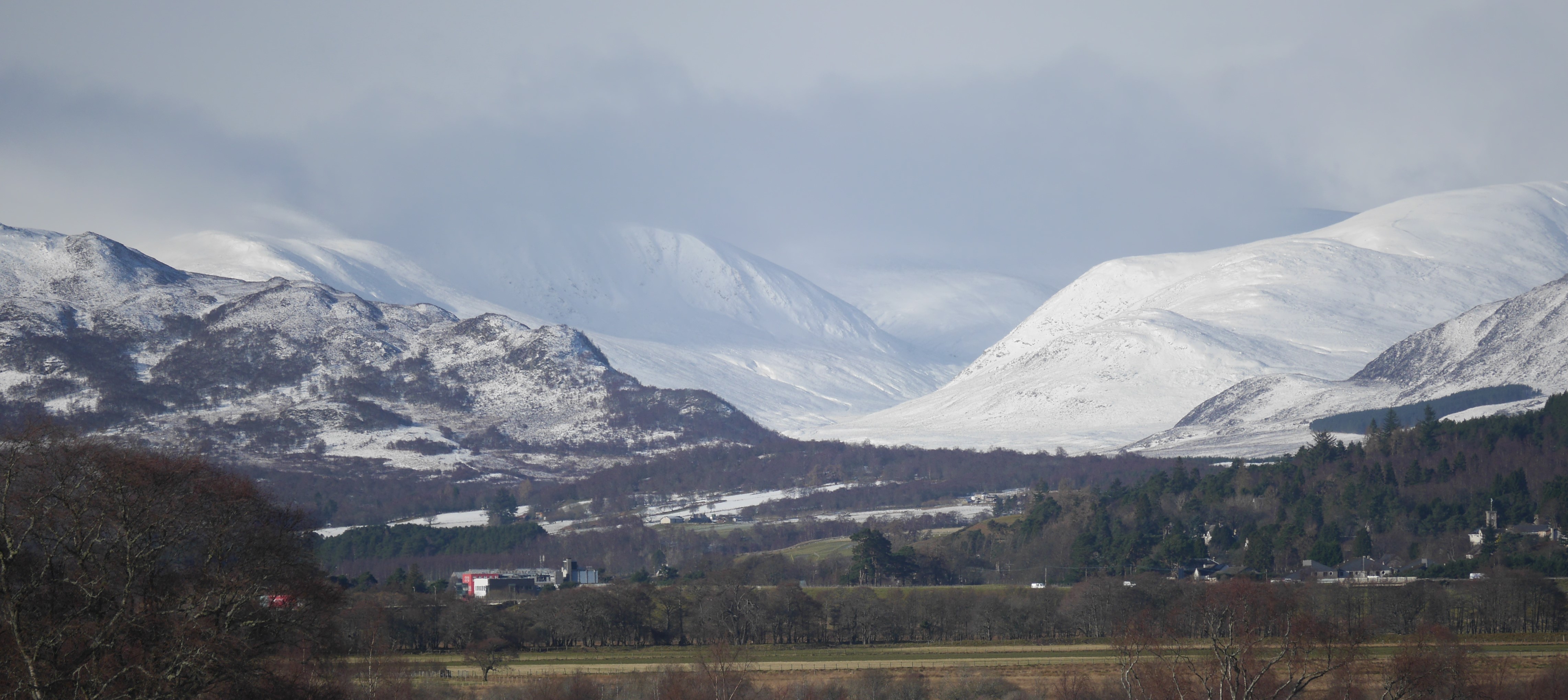 (Above) Always encouraging to see this on the drive to ‘work’. The Monadhliaths beyond Newtonmore – some of the hills that might be considered outliers to the Creag Meagaidh avalanche forecast area. The near skyline on the left is part of the very attractive Creag Dubh. Much improved snow cover here, better still further west at Creag Meagaidh.
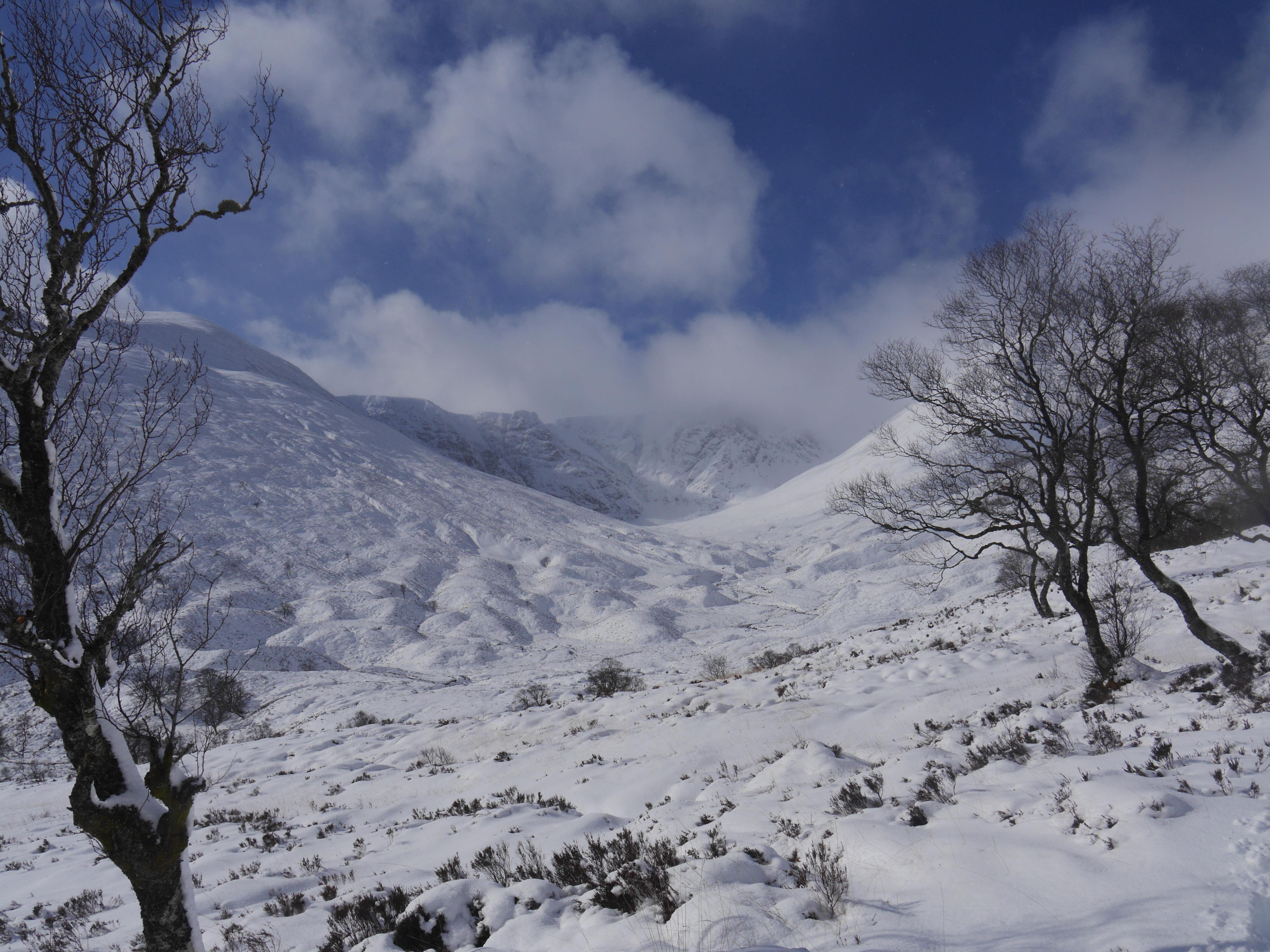
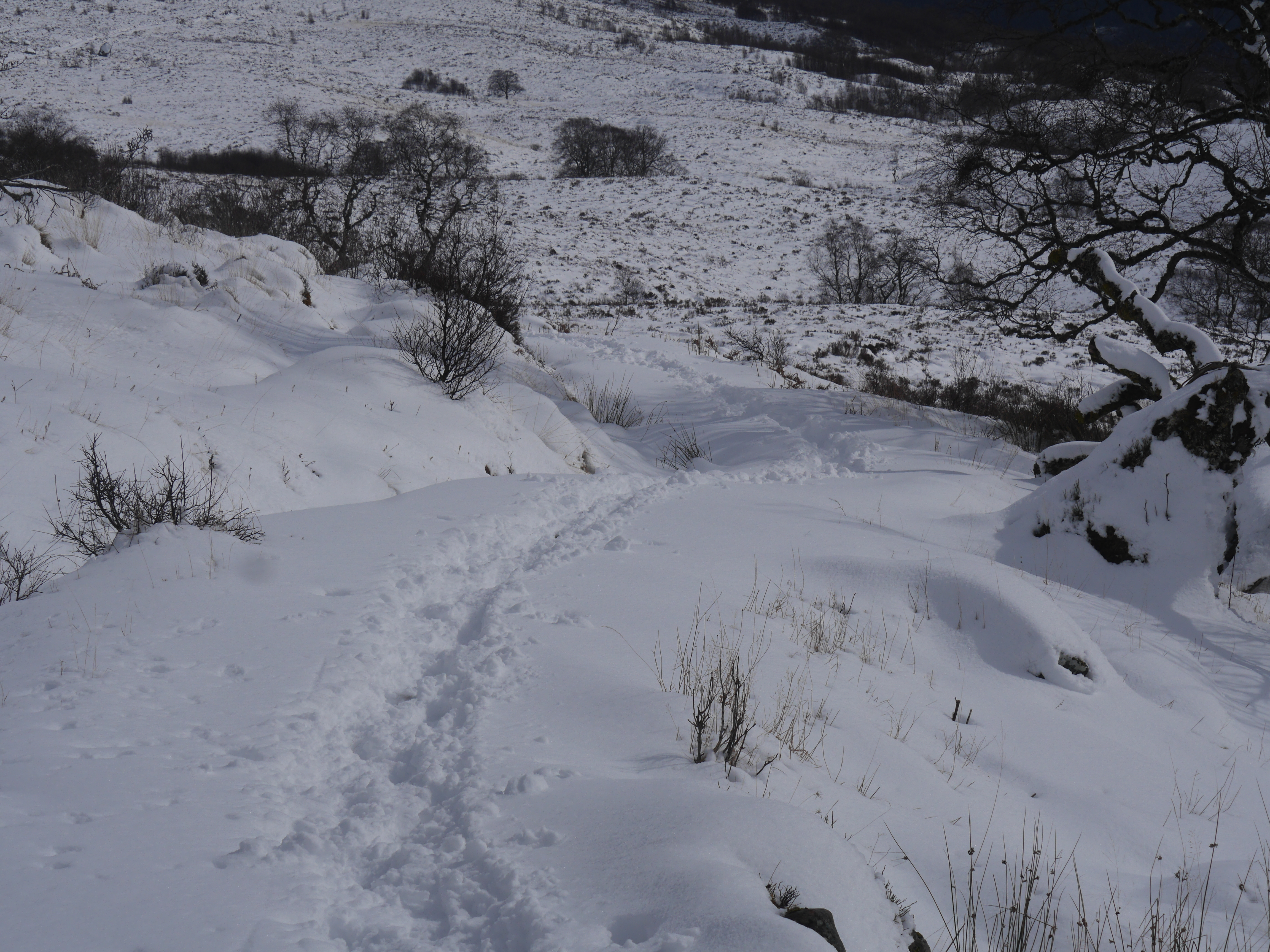 (Above) Quiet today on the main Coire Ardair path. Brief periods of sunshine between snow showers, and some warmth in the sun, too.
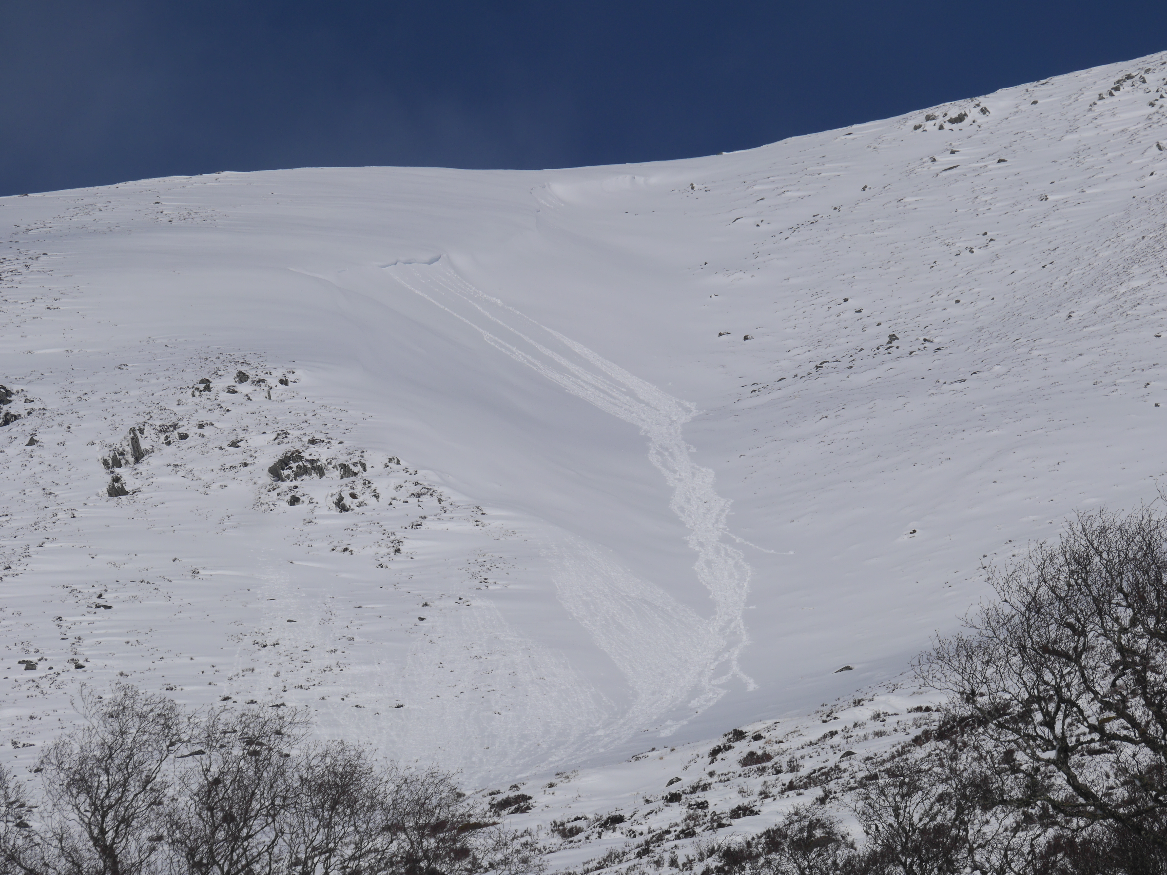
 (Above) The east face of Sron a Ghoire overlooking Aberarder. Top of the skyline is just over 800m. Generalised single point avalanche activity today at around 750m sparked off when the sun hit the surface of this recently drifted snow on this east-facing aspect. Note the drifting of cold snow on the skyline; this continued all day both in and out of showers. We often get this odd juxtaposition of cold/warmer temperatures at this time of year. The influence of heat from solar radiation, rather than simple warm air temperatures, plays a big part in this.
 (Above) Balloon Gully, Coire Ardair. SE aspect. More single point releases here too at about 750m.
 (Above) Another SE aspect in Coire Ardair, this time with roller ball activity at 850m which was quite widespread low down on sun-exposed steeper parts of Coire Chriochairein as well.
Definitely still winter up high though. The Sron a Ghoire plateau at noon today:-
 (Above) A minor corniced snow bank across the main Coire Ardair path. The path was reasonably OK for foot traffic today but this may change overnight if the weather forecast is to be believed.
 (Above) The Creag Meagaidh ‘crown jewels’ looking resplendent today.
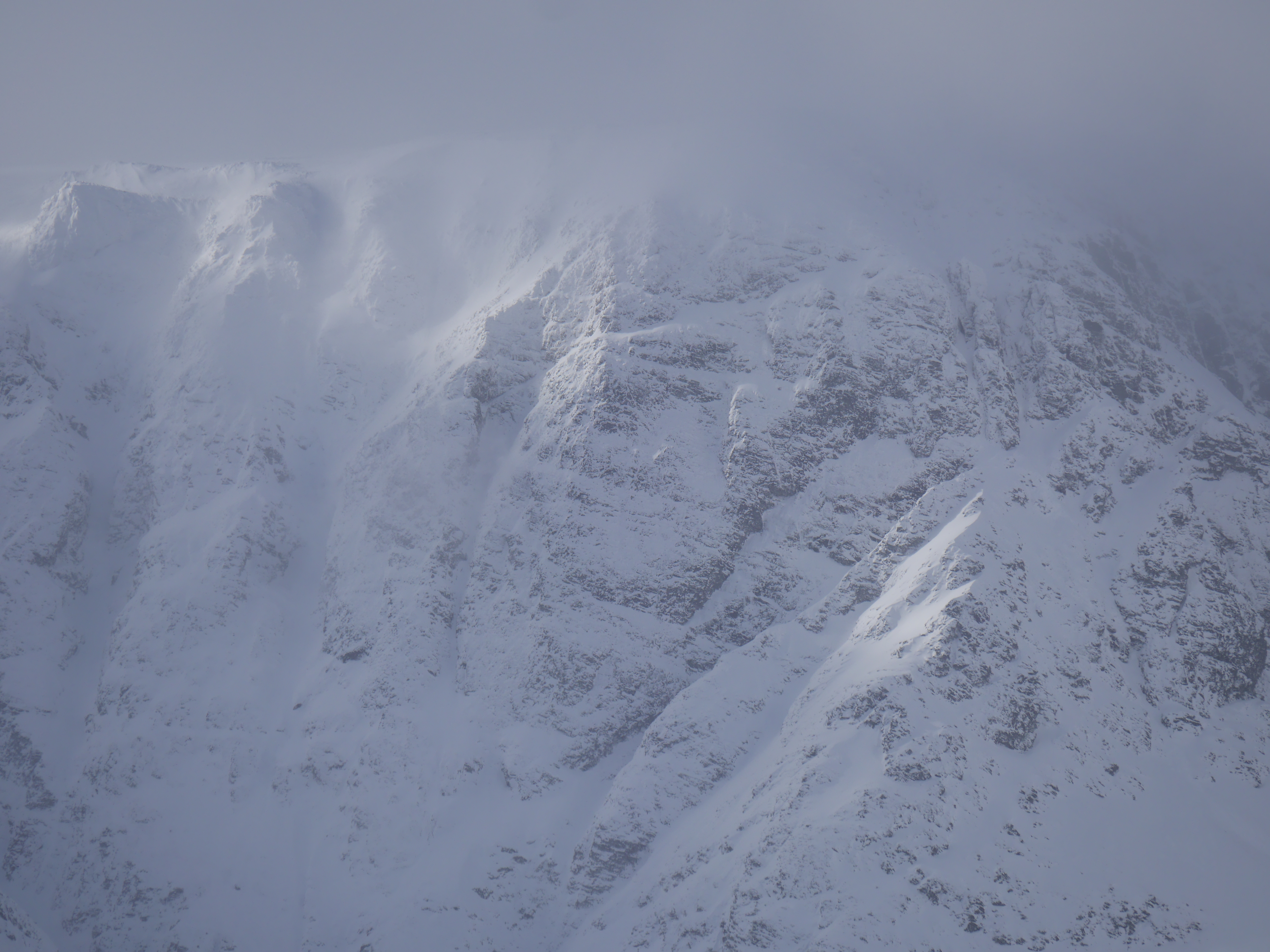 (Above) A close up of part of the Post Face of Coire Ardair. Top of the skyline is 1050m. Deep, weakly stabilised snow is building at the top of all North to East aspects (+ a few others) and we are very likely to see avalanche activity in these and similar places above 750m over the next 24hrs….and possibly beyond.
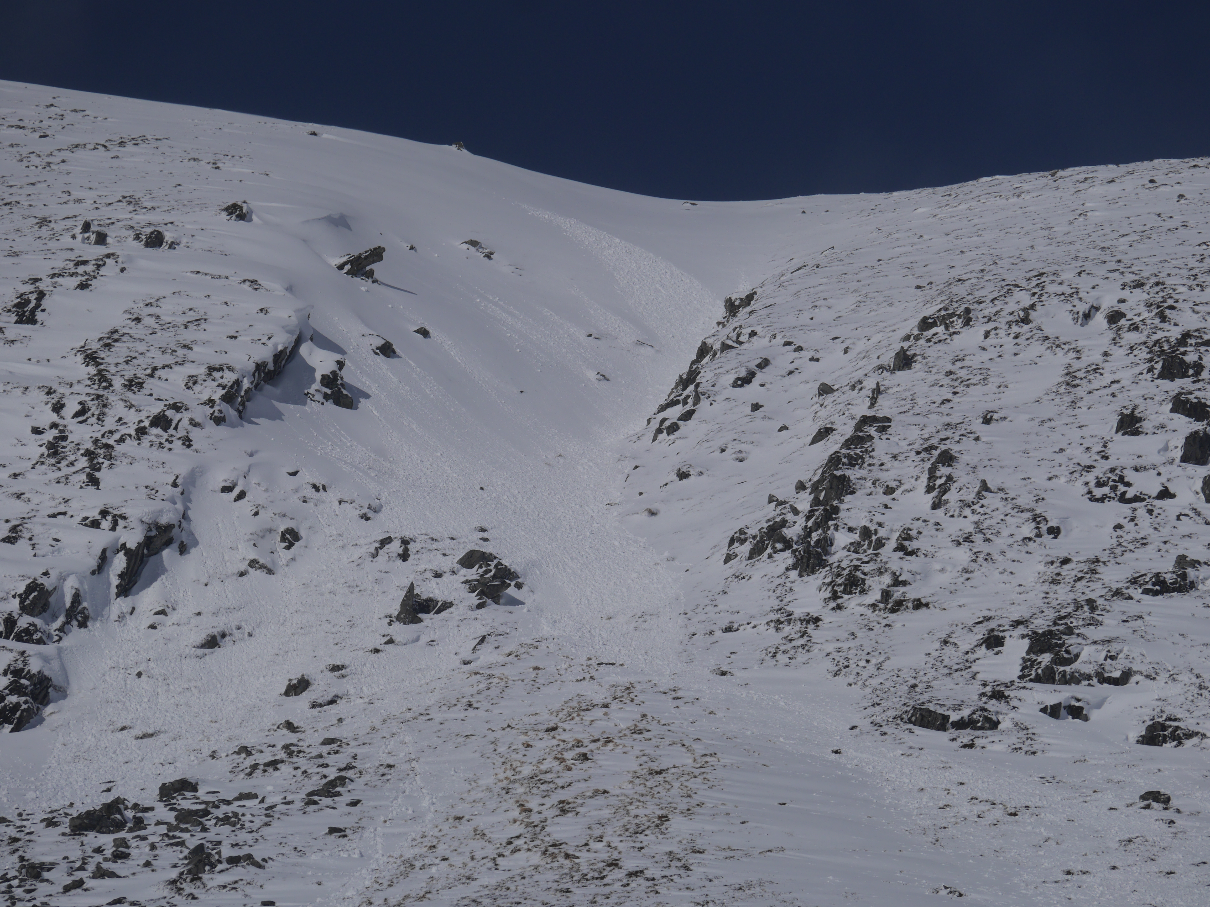
 (Above) A profile shot of the East face of Sron a Ghoire showing traces of the single point avalanche activity. If you look very carefully there’s what looks like a filled in crownwall high on the snowy face. Closer inspection with binos revealed it to be tracks left by a mountain hare.
Comments on this post
Got something to say? Leave a comment


Danny269
11th March 2019 8:11 pm
Which way was the hare going… up or down?!
And, just out of interest, how easily might an avalanche be set off by a hare or any other indigenous species?
meagaidhadmin
11th March 2019 9:12 pm
Hare: Not sure which direction.
Animal avalanche triggers: Yes, plenty of overseas evidence of animals of several different species native to mountains triggering avalanches. I believe one avalanche over in Deeside was triggered by a red deer a season or two ago. Could a hare trigger an avalanche? Yes, but the snowpack would have to be ‘very touchy’ indeed in that instance. A single 14 stone stag would be officially classified as ‘low additional load’ and could certainly trigger a slide.