The electric highway over the Corrieyairack Pass
25th January 2020
Was beating the bounds on the northern edge of our parish today. A daunder along General Wade’s old military road to the Corrieyairick Pass to check out the snow and snow cover. Lacks the true wilderness experience nowadays (see below) that mid-18th century English soldiers would have had but it was an interesting diversion from the usual Coire Ardair ‘milk run’.
The road was built in the mid-18th century to ‘bring order’ to (read as: quell) a part of the country that had risen up in the Jacobite Rebellion of 1715. The Corrieyairick Pass route linked the garrison at Fort Augustus on Loch Ness with Ruthven Barracks (Kingussie) and all points south over Drumochter Pass. The Corrieyairick Pass would have been a tough traverse, especially in winter, for what we would nowadays consider to be poorly equipped soldiers.
 (Above) The old barracks at Garvamore, Laggan, close to the headwaters of Strathspey, restored in the late 1990s and now used as an agricultural building. Troops would have been quartered here overnight either before or after their passage over the Corrieyairick Pass.
 (Above) Garva Bridge, one of General Wade’s famous bridges, here crossing the River Spey just beyond Garvamore. Built in the 1730s and still passable by motor traffic today. It’s a fine piece of civil engineering and built to last
 which is more than can be said about a certain nearby mountain railway. Look carefully in the distance and you’ll see the debris from what looks like a cornice collapse or small full depth avalanche on Meall a Chaorainn Mor – from about a week or so ago.
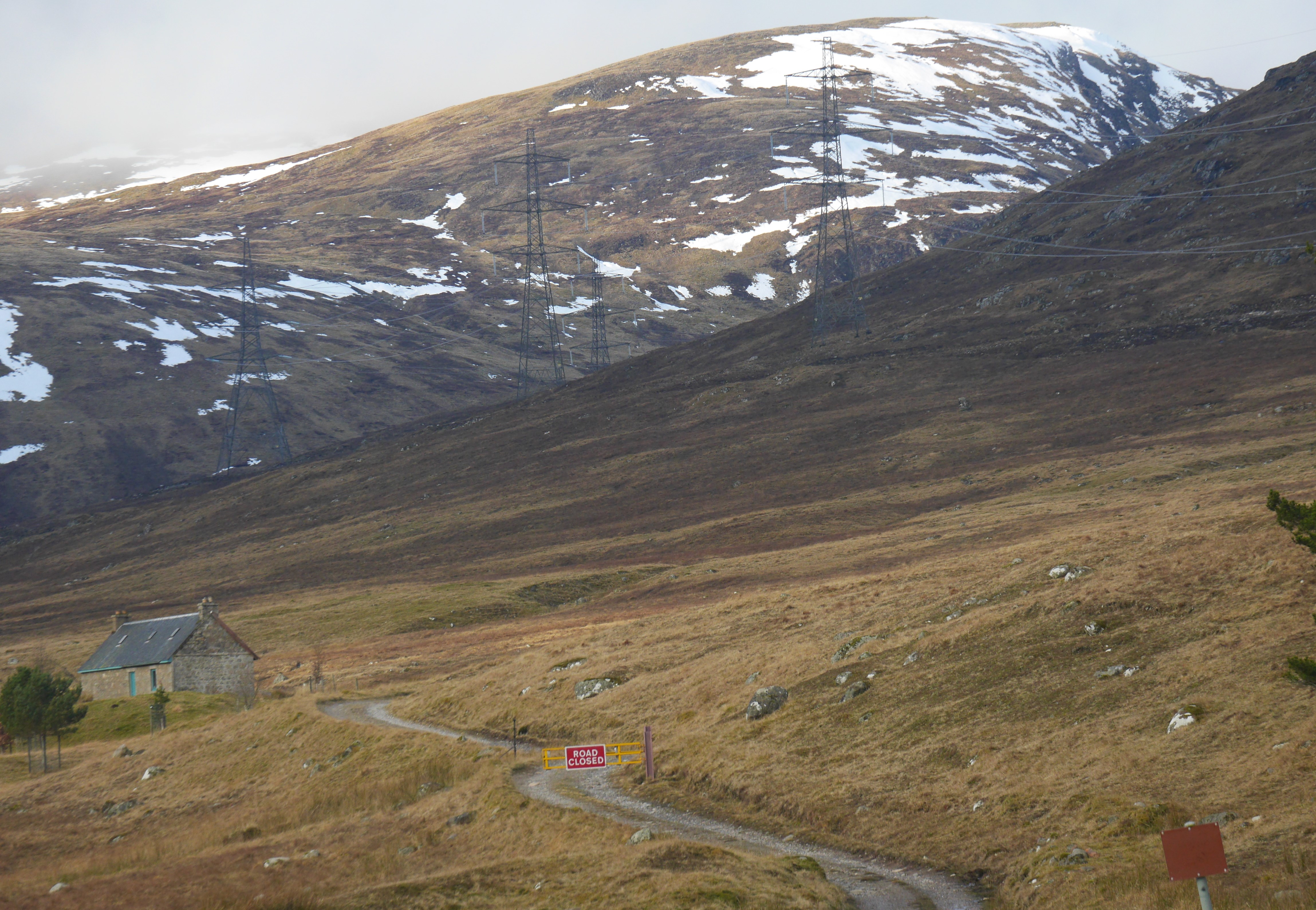
 (Above) Melgarve, the end of the metalled road and the start of the hill track. The route over the Corrieyairick Pass is still officially classified as a ‘road’ but was closed to recreational 4×4-ists some years ago. The serried rank of pylons means you’re never really alone up here. These new much larger pylons were part of the controversial upgrading of the Beauly to Denny power grid network to take ‘green’ electricity from innumerable nearby wind farms – which seem to be blighting our wild spaces – down to the central belt of Scotland.
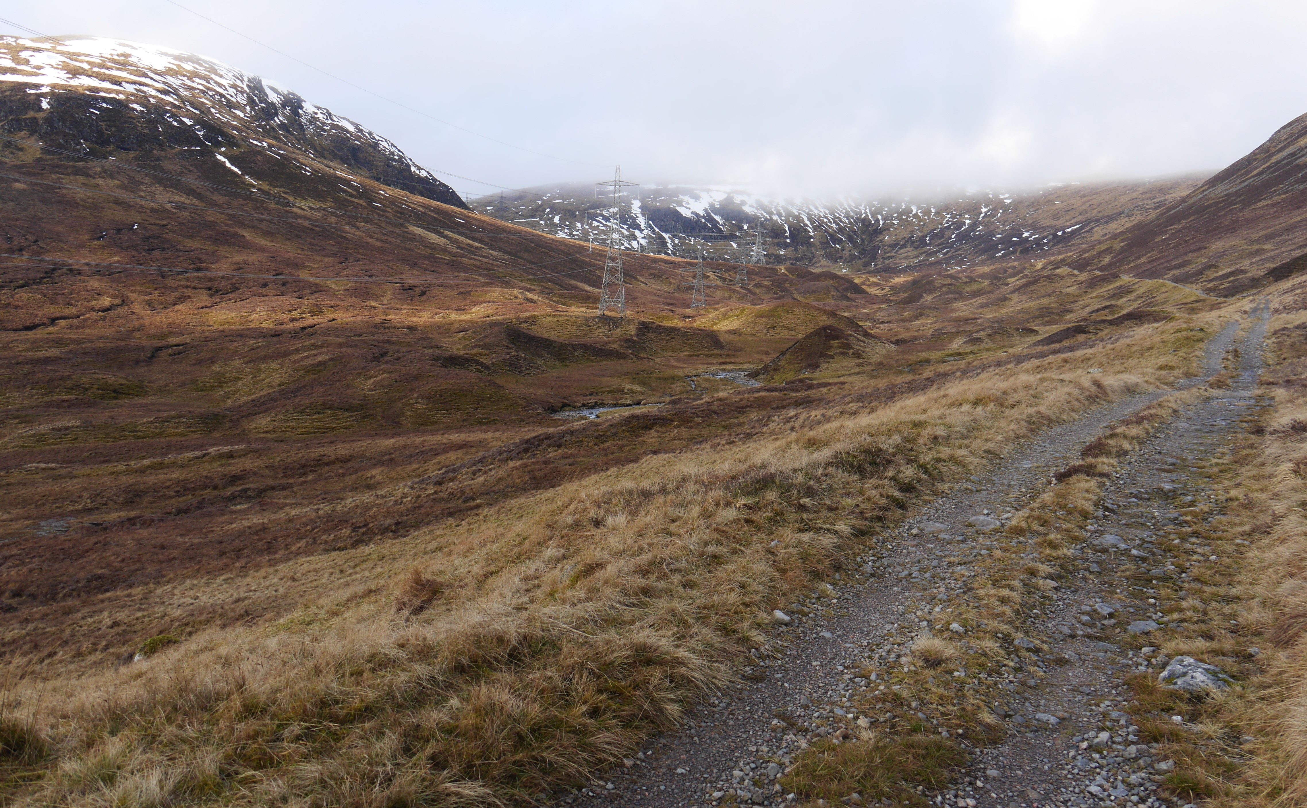
 (Above) Looking up into the head of Corrie Yairick. The old Wade road is in reasonable condition, if a little rough in places, and perfectly adequate for foot passage. More snow than anticipated up high here. Effective snow line is approx 700m.
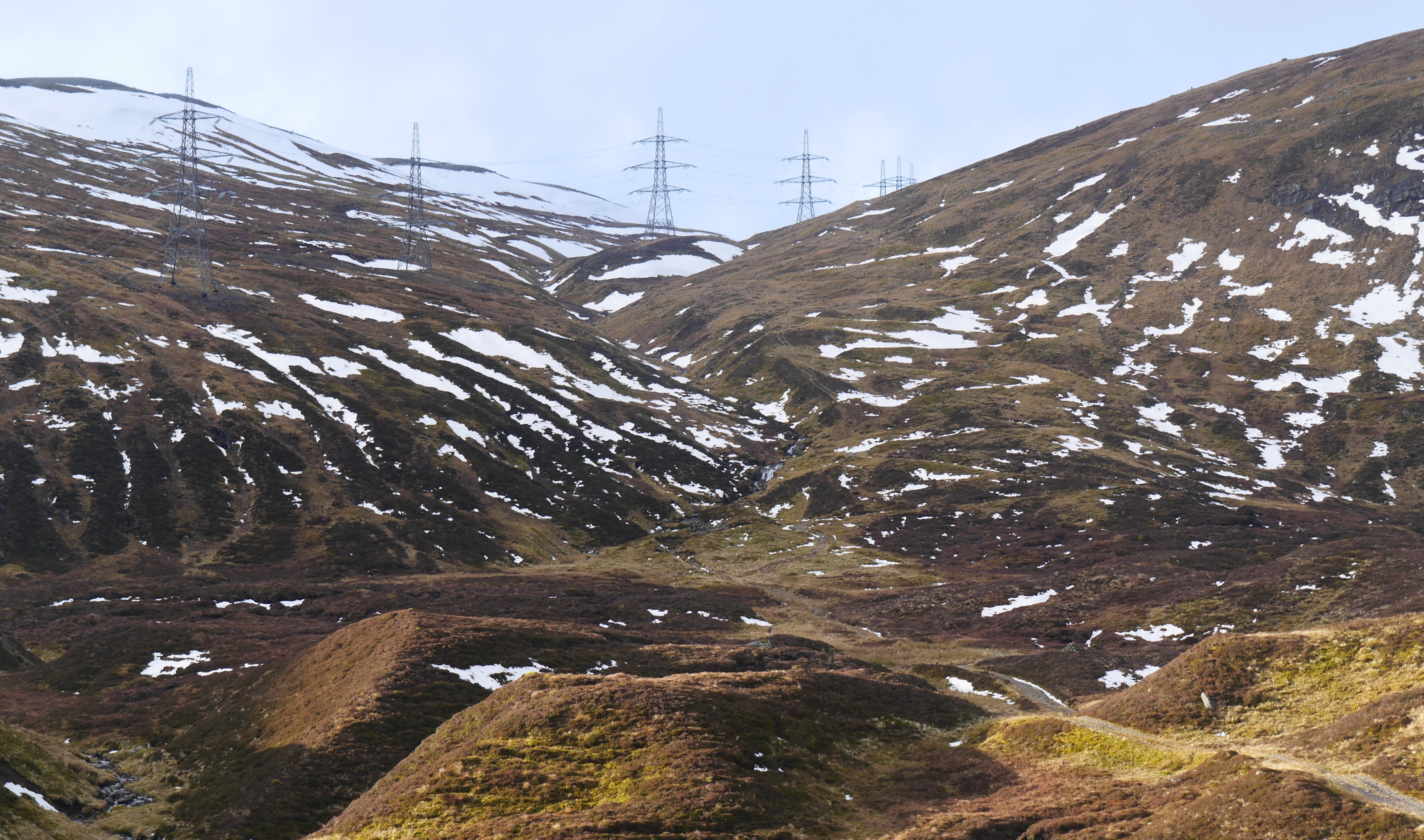
 (Above) The steep ascent to the summit of the Corrieyairick Pass. Look carefully to the right of the burn and you’ll be able to just make out the switchbacks built by General Wade. There’s also one random set of tracks imprinted into the landscape – more or less up/down the fall line – by some unknown 4×4.
 (Above) The switchbacks. Easy to avoid the snow today but must have been a nightmare for C18th troops footsoldiering over here in bad winter weather.
 (Above) The summit area of the Corrieyairick Pass at 800m. Looking north down to the sharply incised Allt Coire na Ceire, Glen Tarff and eventually Fort Augustus.
 (Above) Homeward bound. Looking down this old military routeway towards Melgarve in the Upper Spey and the Gaick hills in the far distance.
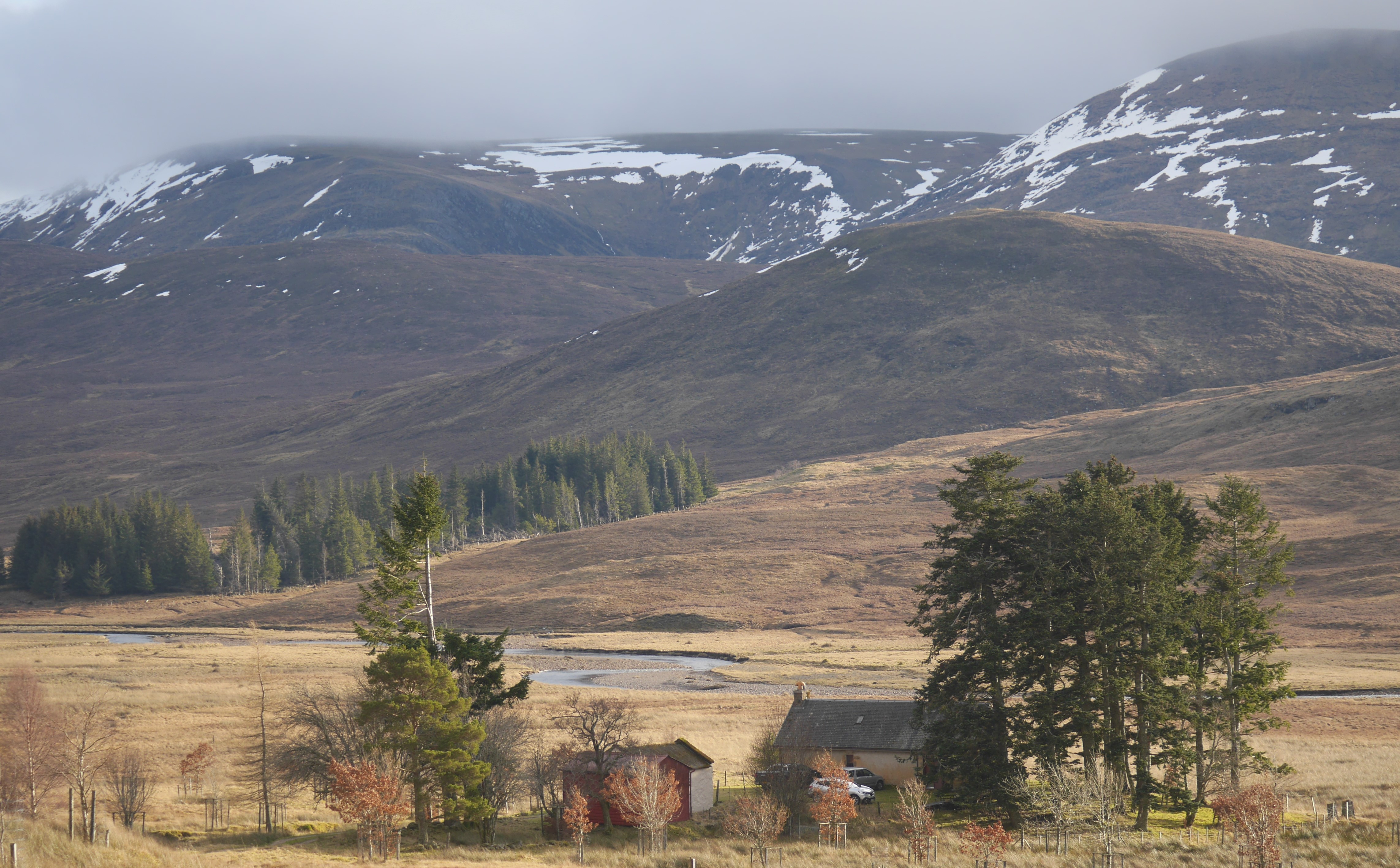
 (Above) Melgarve and Drummin. The last occupied dwelling in Speyside, in the foreground, enjoys an outlook to the north-facing side of the Carn Liath plateau.
Comments on this post
Got something to say? Leave a comment


Stan Wygladala
26th January 2020 12:25 am
Excellent and interesting information. Where are the snows of yesteryear?
meagaidhadmin
26th January 2020 5:32 pm
Gone Stan – gone…..!!