Incoming.
7th April 2021
Covid -19
The Scottish Avalanche Information Service issues information to support permitted activity under current Scottish Government guidance.
Please be aware of current mandatory travel restrictions in Local Authority areas within Scotland and respect local communities by referring to Scottish Government guidance and safe route choices for exercise. For further guidance please refer to the following information for hillwalkers and climbers and snowsports on ski and board.
This blog is intended to provide hazard and mountain condition information to help plan safer mountain trips.
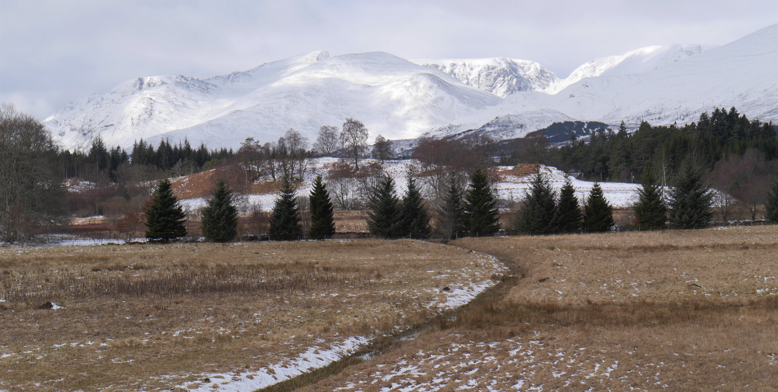
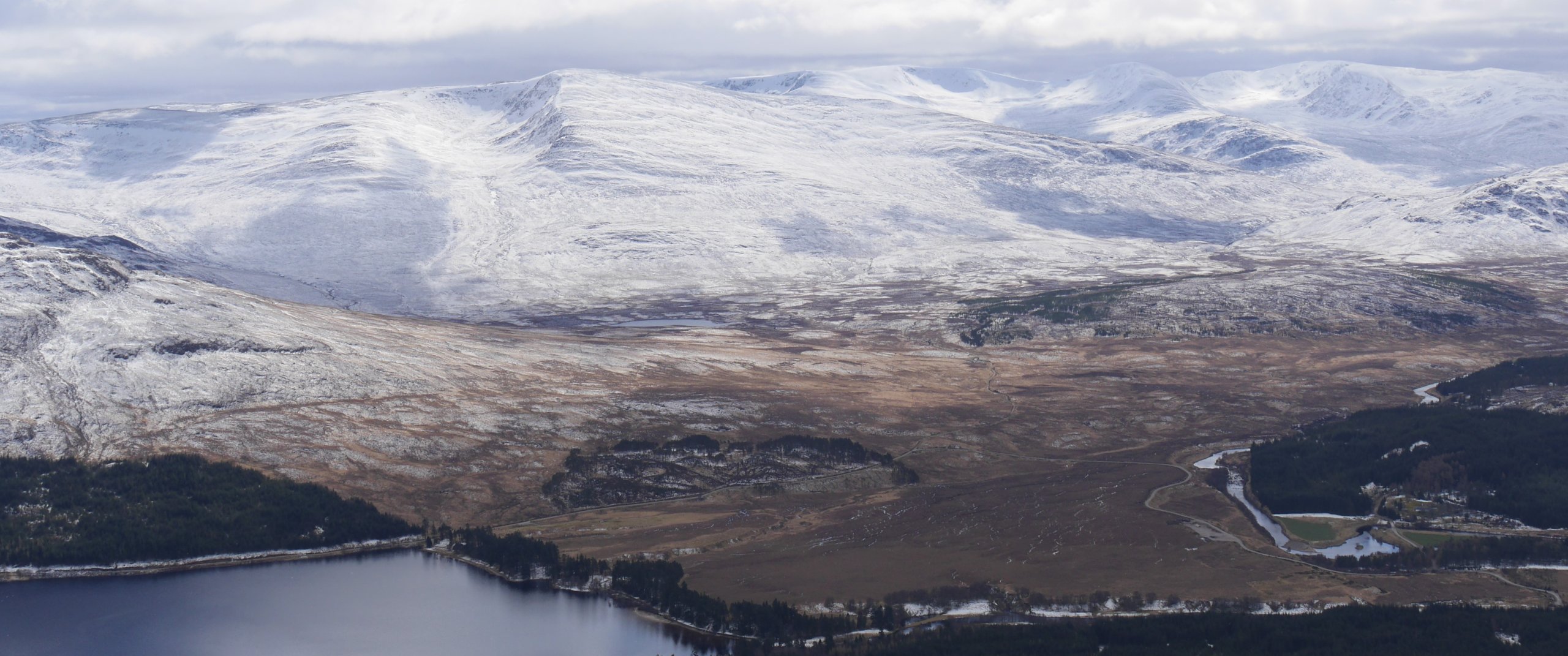
(Above) The ‘big picture’ gives a flavour of the snow cover here at Creag Meagaidh after a few days of cold temperatures, snowfall and strong NW winds. A lot of what you see is superficial cover (and made to look whiter/deeper by the sunlight) but there are quite deep drifts above 850m but only on very steep ground.
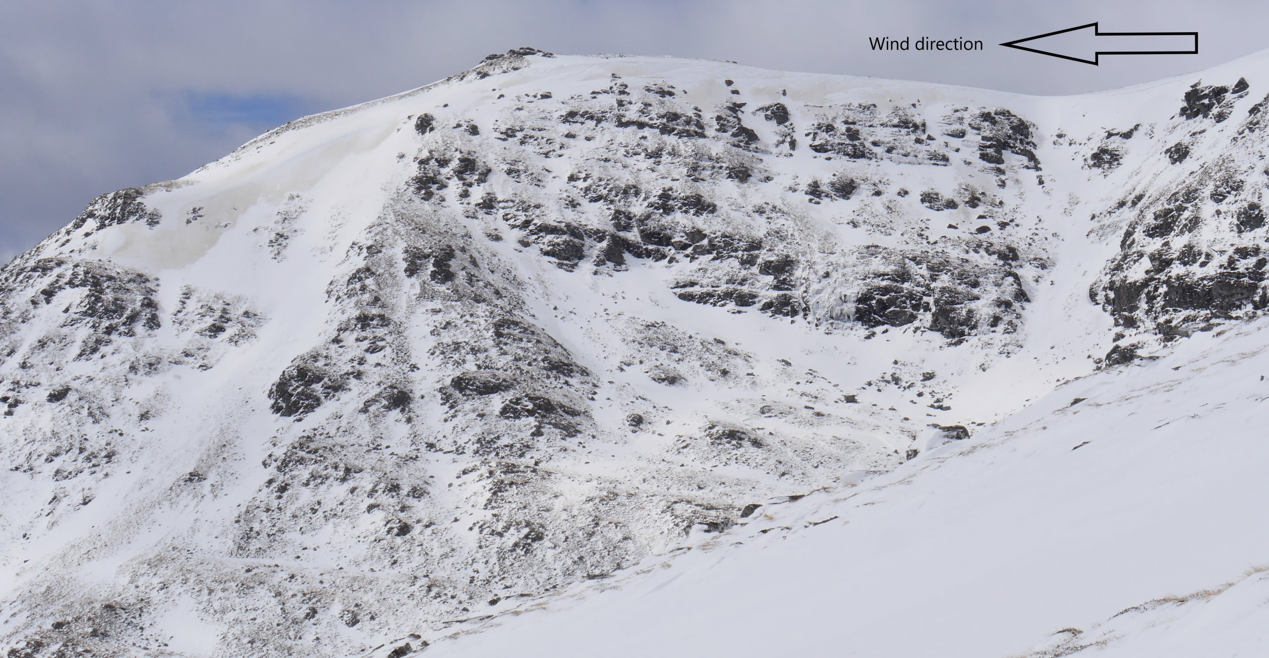
(Above) An Cearcallach 993m on Loch Laggan-side. Cross-loading and scouring evident in the photo. The most recent and deepest windslab deposits lie on SE to S aspects but some E aspects have been cross-loaded by the strong N to NW winds over the past few day. The concrete grey/beige colour is the old exposed (hard) snowpack. Easy to see how the wind has selectively scoured and loaded slopes bringing about an abrupt transition from hard old snow-ice to deepening new windslab on the same aspect, in this case east-facing.
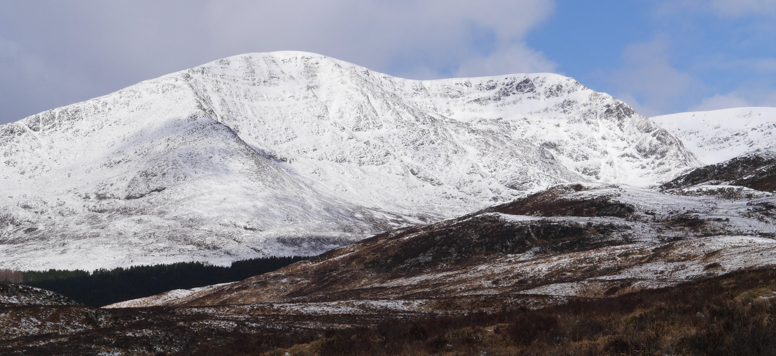
(Above) Beinn a Chaorainn 1052m at the western end of our parish. Similar look to the first photo. With persistent snowfall in the forecast the upper parts of this mountain are expected to look much whiter tomorrow.
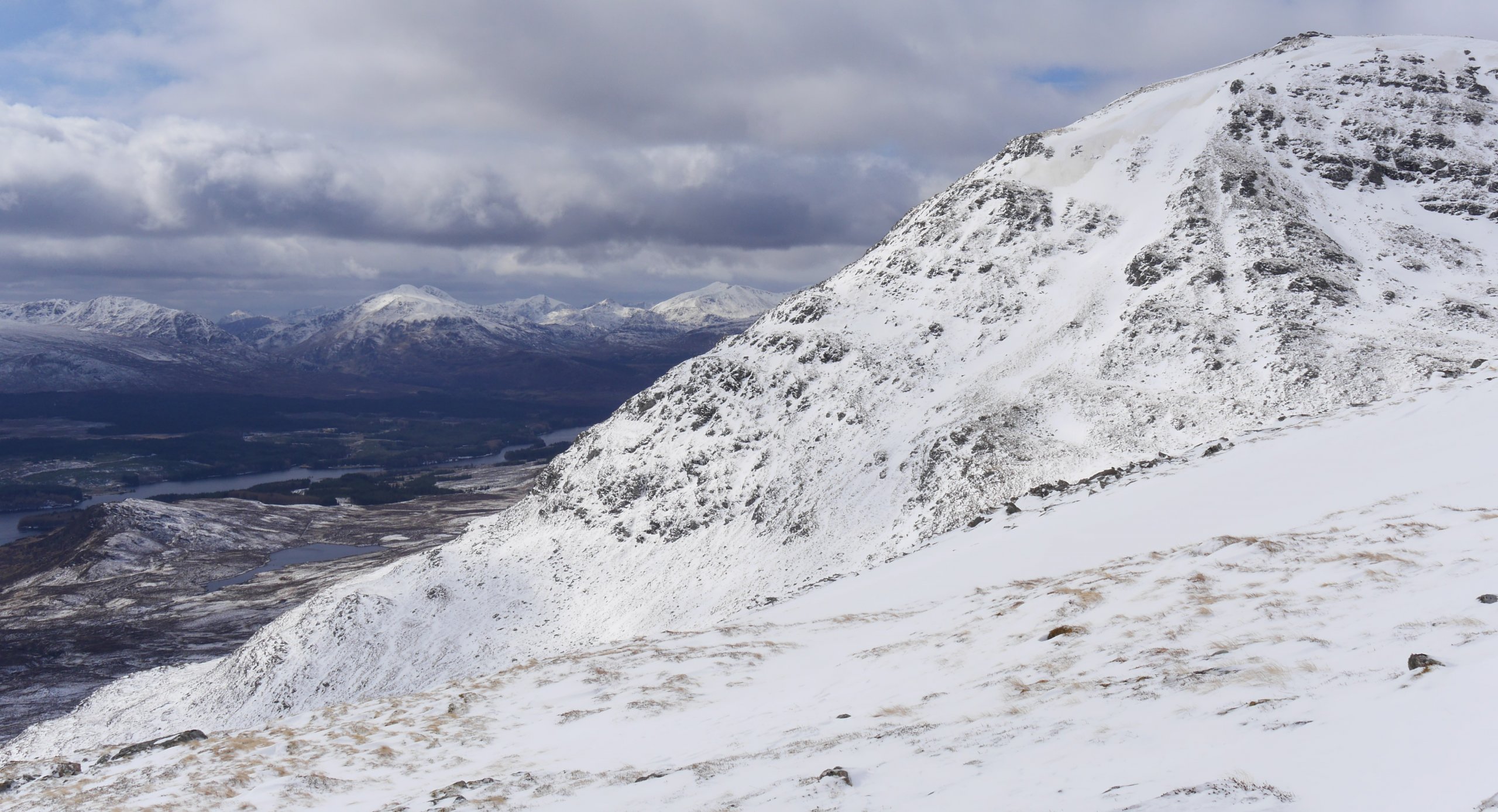
(Above) Looking west across An Cearcallach to Loch Laggan, the Grey Coires and beyond. Snow on southern aspects picked up quite a lot of sunshine in short bursts today as the sun played peek-a-boo with the clouds. Recent snow on less steep ground and lower altitudes was bonding up well in response to this fluctuating exposure to sunlight. Was less good above 850m though, in particular above 900m on very steep ground, where residual weaknesses lurked in some layers.
(Above) A peek across to sunlit left to right Beinn a Chlachair 1087m, Geal Charn 1132m, Aonach Beag 1116m, Beinn Eibhinn 1102m.
Incoming wintry weather overnight and throughout Thursday. According to the Met Office forecast we’re due twice as much precip as any other SAIS area. We’ll see. The freezing level will yo-yo a certain amount so there’s almost certainly going to be rain in the mix at lower altitudes before temperatures fall and the rain morphs into snow as low as 400m by late Thursday afternoon.
Comments on this post
Got something to say? Leave a comment


