After Storm Corrie
31st January 2022
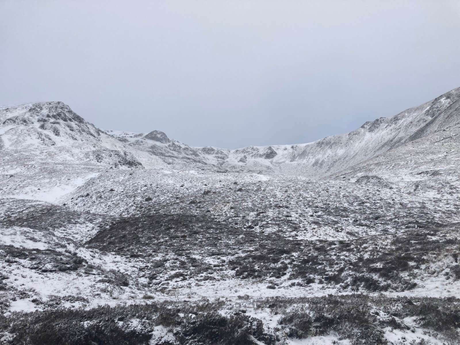
Today the winds calmed after Storm Corrie leaving a mainly dry day with a thin layer of fresh snow to low levels. There is an icy crust to about 950 metres where the precipitation turned to rain late yesterday afternoon. After that the winds were just too strong and the majority of the snow that came with Storm Corrie has been stripped from the mountain. We are left with only a thin layer of fresh snow which is of similar depth at most altitudes. In the lighter, but still strong, summit winds today there was some fresh drifting onto East to South aspects. These areas are generally small and shallow and can be avoided. The unsettled weather continues with a mild spell again tonight, slightly colder tomorrow afternoon and Wednesday night before the next mild weather arrives later on Wednesday.
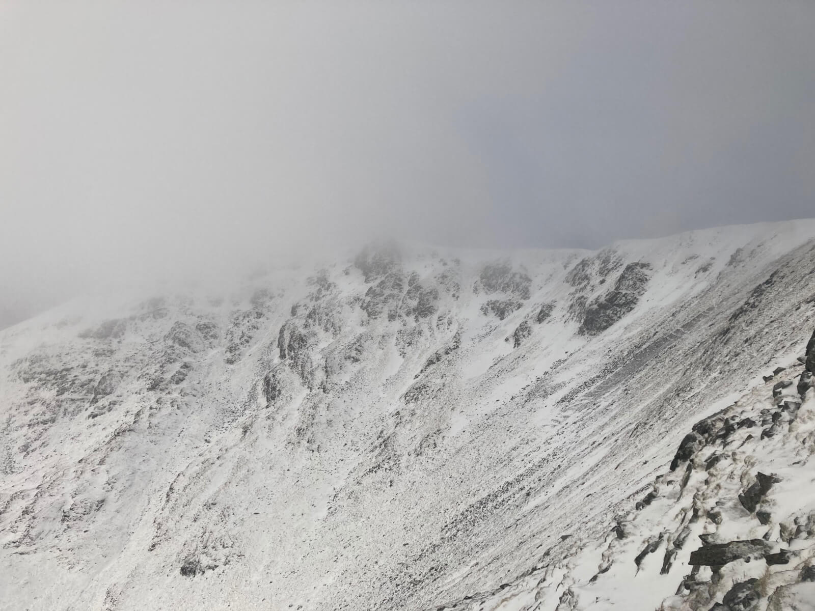
A look at the Post Face where the cliffs now look white, however when you look at the gully lines you and see there is no depth to the snow.
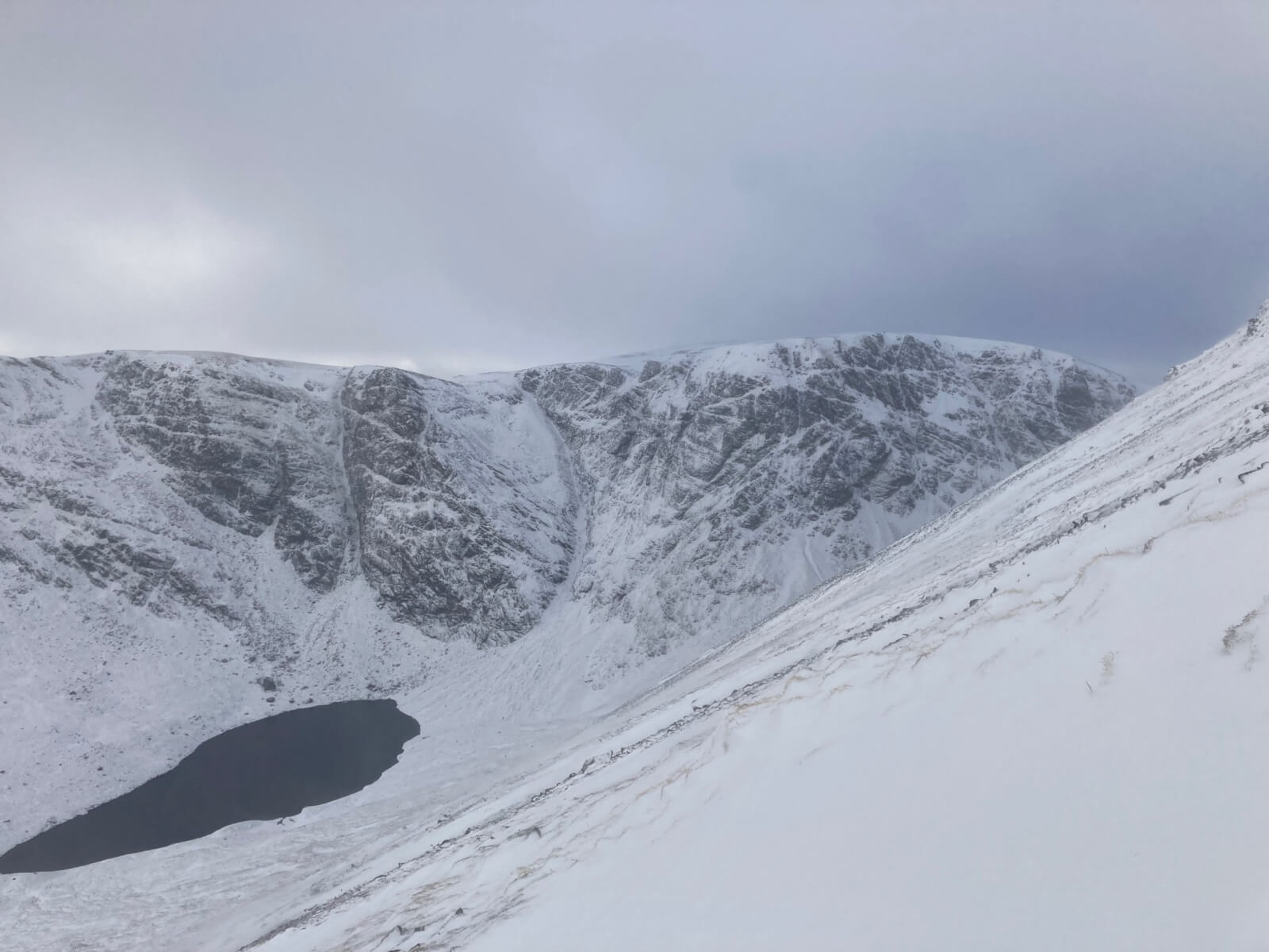
A look into Coire a’ Chriochairein. Windslab deposits can be seen high in the coire on the South-east aspects. On closer inspection they are shallow and easily avoidable on grass slopes to the side.
A closer look at Coire a’ Chriochairein
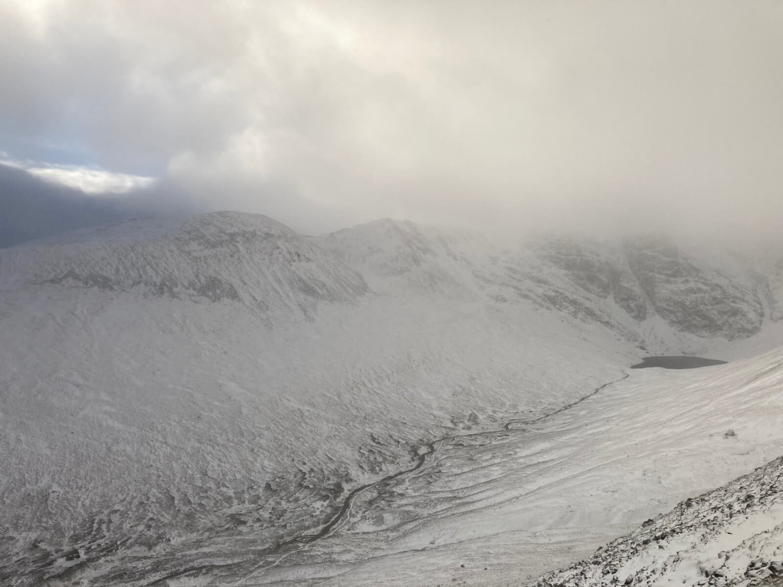
A look across to Sron a’Choire, with the Post Face visible on the right.
Comments on this post
Got something to say? Leave a comment


