Calmer Conditions
11th February 2022
Visibility was poor above 800 metres, so unfortunately there are no photographs of the top of the corries. However, there was a brief respite from the gale force winds of late, but they are set to return tomorrow.
A breakable crust had formed below 600 metres, which sadly wasn’t supporting the weight of a skier. There is unstable windslab above 800 metres on North to Easterly aspects. Further windslab will be deposited overnight mainly on North-West through North, to Easterly aspects.

One of today’s passing showers approaching. This photo was taken at around 450 metres, giving an idea of the snow cover at this level today.
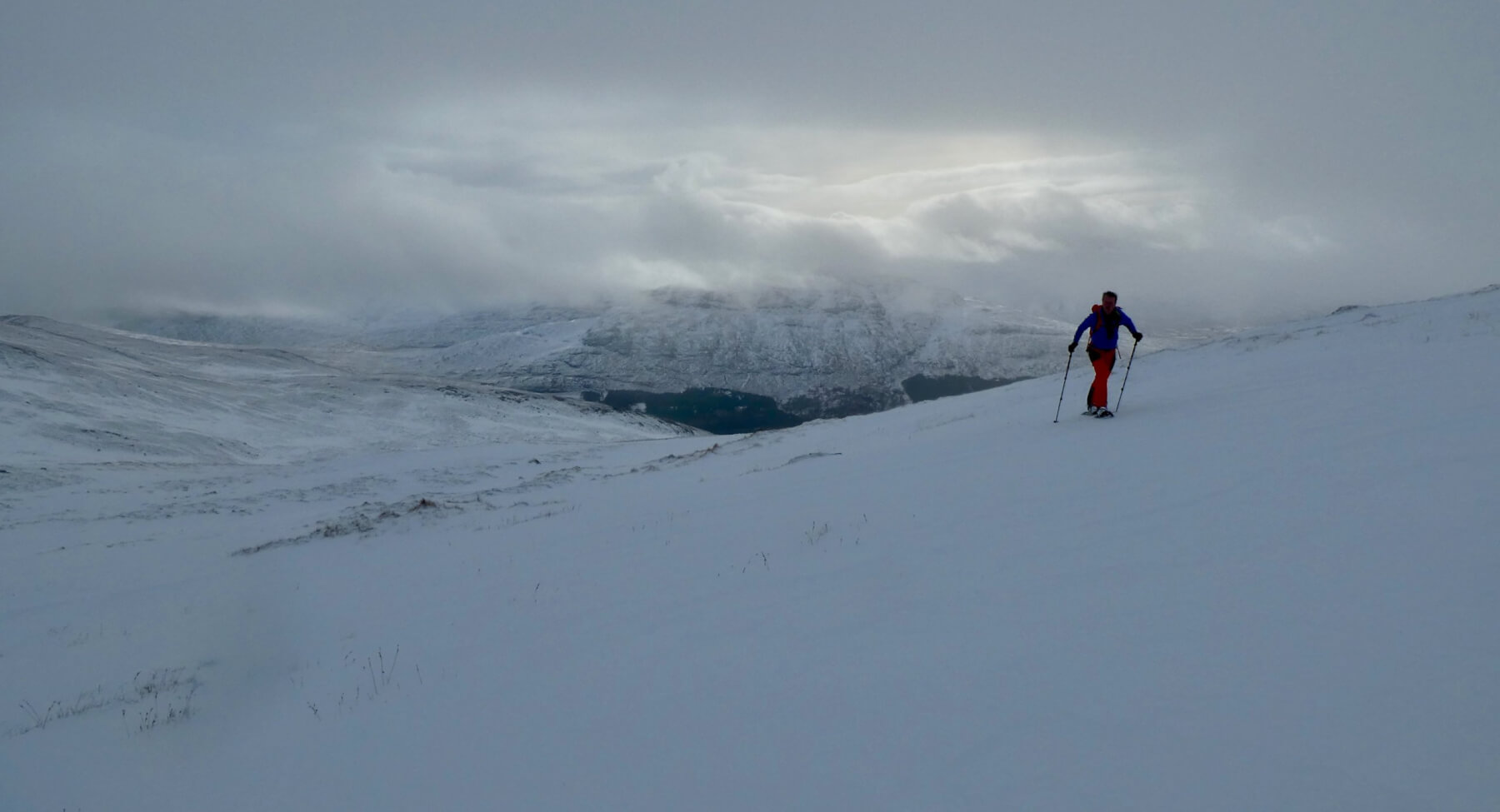
Snow shoes or skis? Both were preferable to being on foot, given the breakable crust below 600 metres.

Just right of centre, there is a cornice overhanging a North-East aspect at 750 metres. There was evidence of an avalanche to the left of it (not visible in the photo) but logged in the avalanche database.

Lochan Coire Choille-rais
Comments on this post
Got something to say? Leave a comment


