Otto Inbound
16th February 2023
It was a fairly calm day on the eastern periphery of the Creag Meagaidh area, with thin cloud making observations challenging. The good news is that it was around 4 degrees Celsius in the valley indicating freezing temperatures at summit elevations.
A change is expected overnight and tomorrow due to the passage of Storm Otto. The first named storm of the season has resulted in a yellow warning for rain fall and high winds for much of Scotland. Correspondingly, a period of instability is expected overnight due to heavy rain, with between 40-50mm forecast. The snowpack although limited in extent, will become saturated and wet loose avalanche occurrences are likely in steep locations along with cornice collapse.
After this avalanche cycle the freezing level will fall slowly consolidating the snow that is left. I say what is left, because we could be looking at significant snow loss even at the highest elevations…
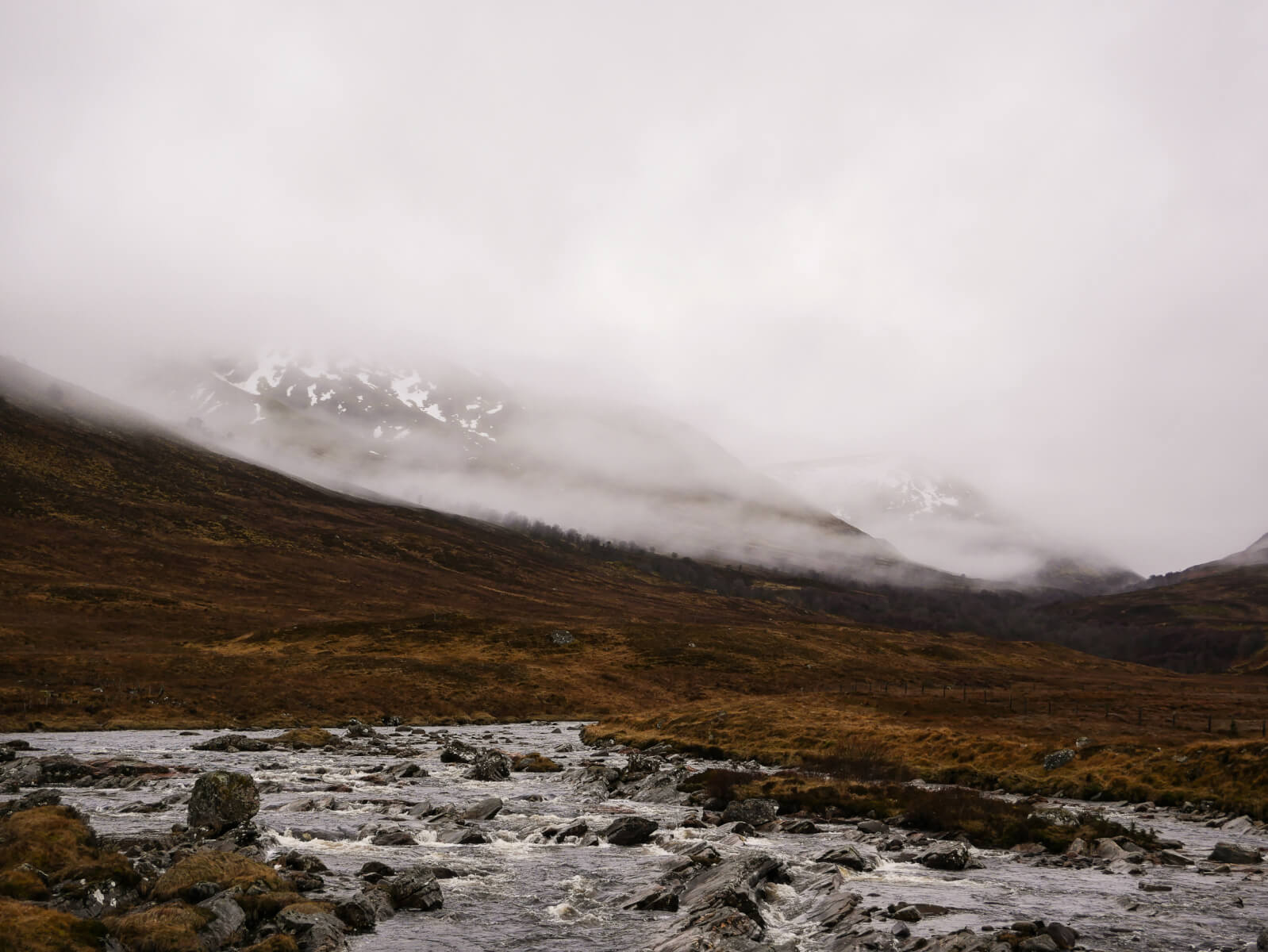
Coire a’Bhein: Patches of snow just visible through layers of cloud from Garva Bridge. The River Spey in the foreground, at fairly normal levels today, spate expected tomorrow!!
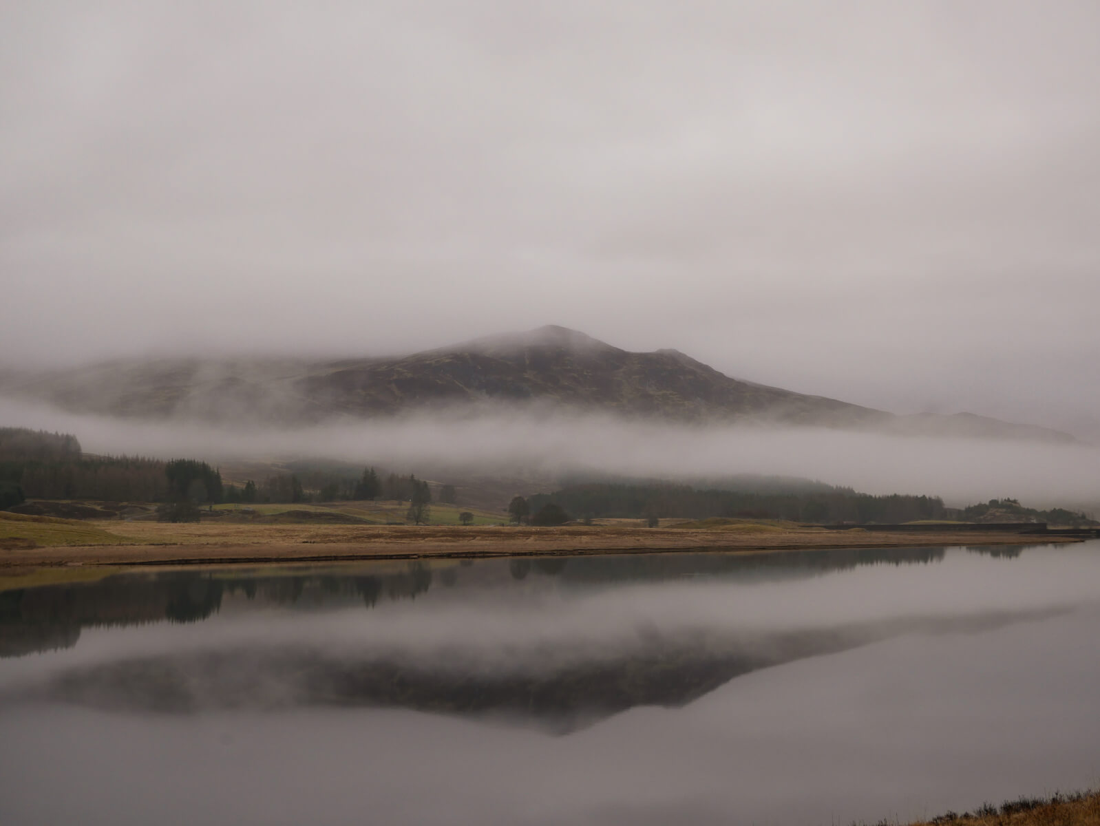
A minor summit to the North of the Spey Dam. The calm before Storm Otto.
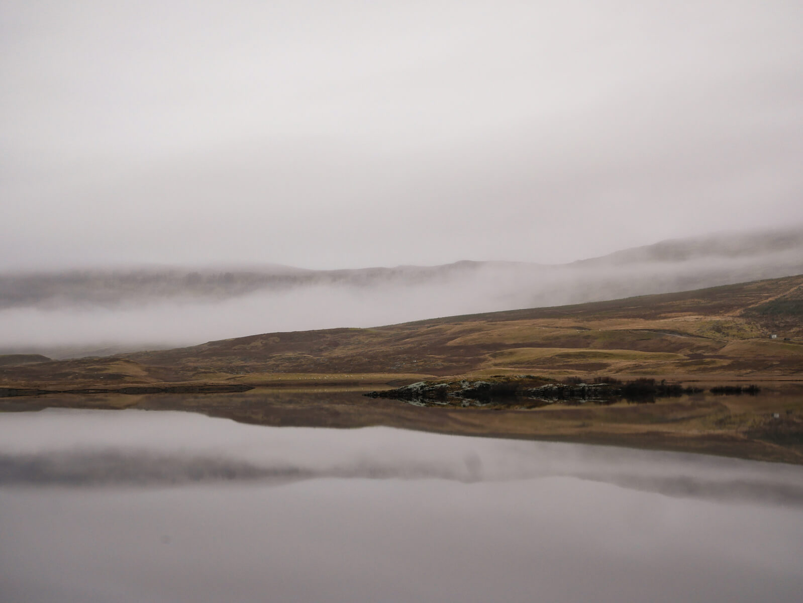
The Ridgeline of Meall an Domhnaich obscured by low cloud.
Comments on this post
Got something to say? Leave a comment


Stan Wygladala
17th February 2023 2:00 am
Stay at “home” and wait for some improvement. No need to go out out on the hill when it’s like this. I once was lifted off my feet in a 100mph wind and it wasn’t fun. Four of us crawled using our axes in the frozen turf for an hour and only thought it was good fun in the evening after several pints!