Waiting for winter
20th February 2023
The landscape is lacking snow cover, with greatest accumulations now mainly confined to North through East to South-East aspects above 850m. The thaw is due to continue through tonight and tomorrow with the freezing level remaining above the summits.
Despite the summits being mostly in the clouds today with poor visibility, we were able to take the opportunity of brighter spells, when the came, to get some photographs. These aren’t a true reflection of the weather conditions today, they were taken in the brief moments out of the wind and rain! Thank you to all the SAIS Forecasters who contributed photos for today’s blog, which gives a clear picture of the snow cover across the whole of the Creag Meagaidh forecasting area, from Beinn a’Chaorainn in the West to Coire Dubh in the East.
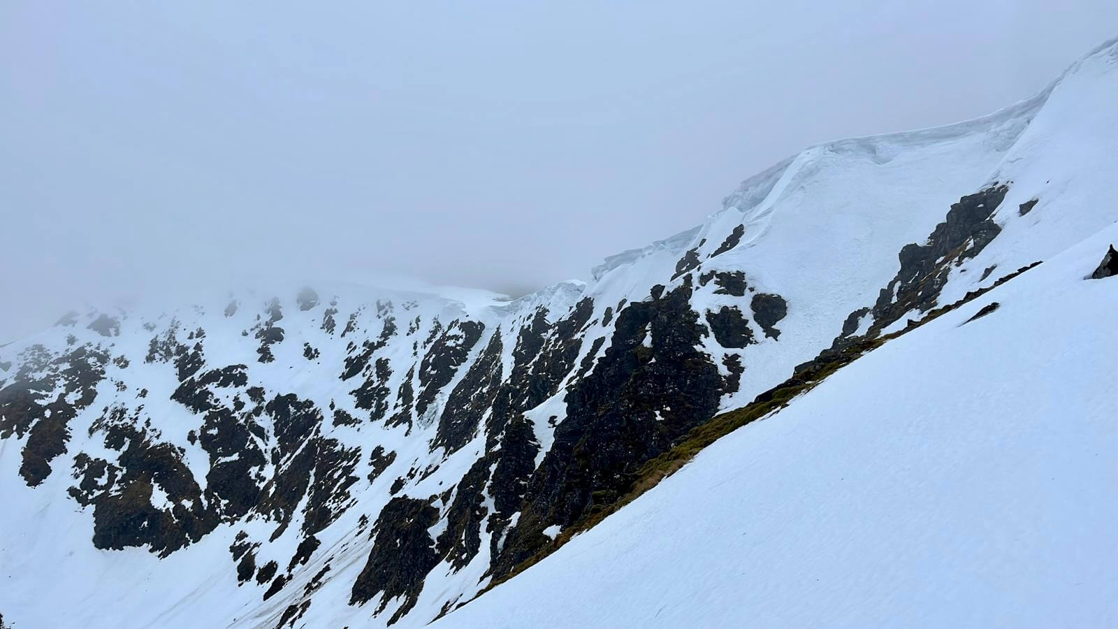
This is the East aspect of Beinn a’Chaorainn, with cornices remaining.

Westerly aspect of Creag Meagaidh, looking into Coire nan Laogh.

Coire Chomharsain is on the left (with Meall Coire Choille-rais forming the skyline behind). The highest point on the skyline is looking towards Puist Coire Ardair (1070m) and Sròn a’Choire is on the right. Most of the snow in the photo is on North-East or East aspects.
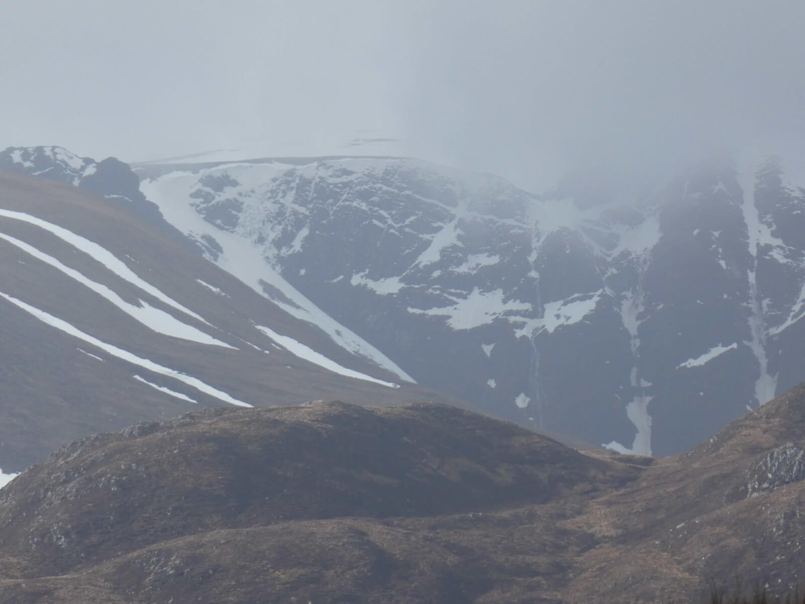
Looking into Coire Ardair from afar, with some ice hanging on in ‘Post Haste’ at the top of Easy Gully, just left of the centre of the photo.
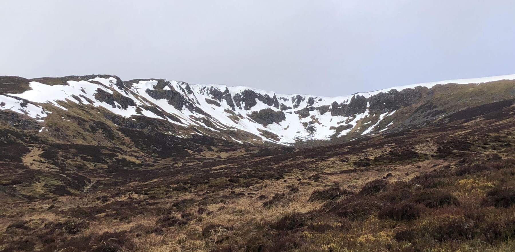
Compare this photo of Coire Dubh taken this morning, with the photo on the blog yesterday.

Geal Charn (926m), with its Southern side being devoid of snow. This is just outside out Eastern edge of the Creag Meagaidh forecasting area.
Comments on this post
Got something to say? Leave a comment


