Wintry blast
23rd March 2024
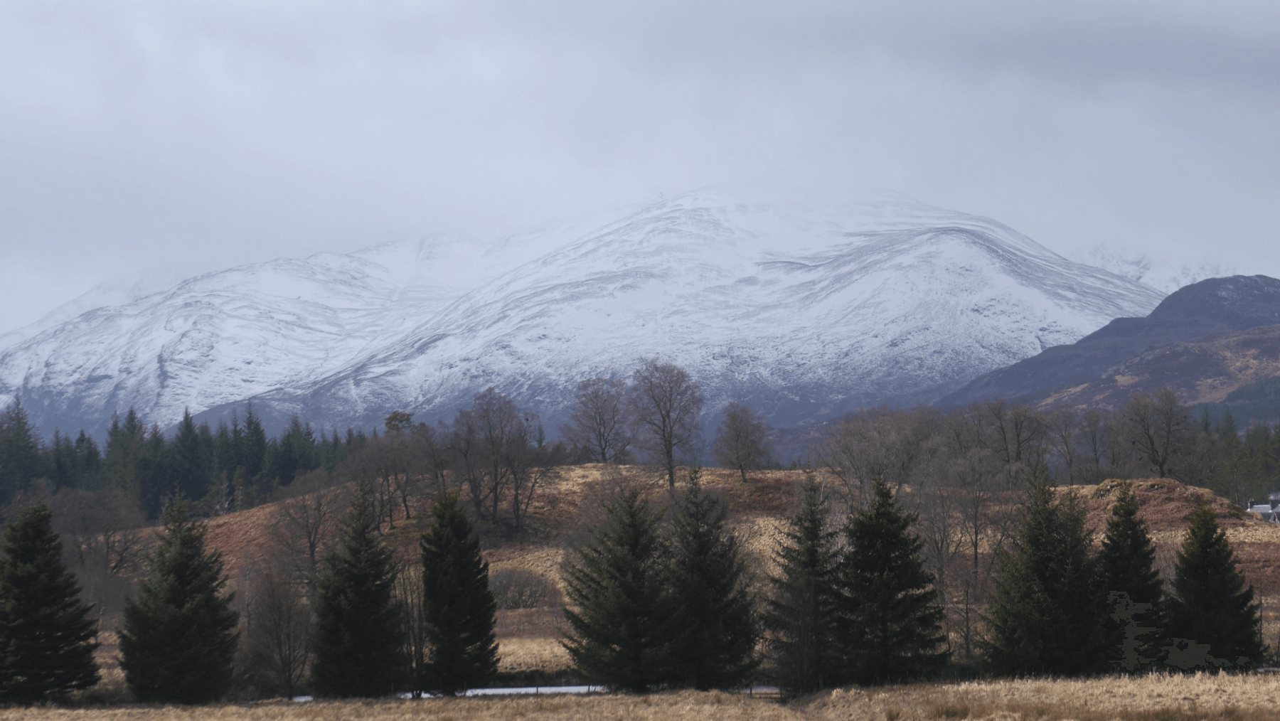 (Above) The view west from the A86 looking towards Sron a Ghoire. Drifted snow as low as 700m on Sron a Ghoire today; not a huge amount at this altitude but more than we’ve had here for some time.
 (Above) The entrance to Raeburn’s Gully, Coire Ardair. Small (size 0.5) loose snow avalanche here sometime in the early morning – debris just visible. Speculate that this was the culmination of a lot of spindrift piling down off Pinnacle Buttress overnight and early doors today.
 (Above) Left to right: Bellevue Buttress, Raeburn’s Gully partly obscured, Pinnacle Buttress, Easy Gully and the Post Face of Coire Ardair. Recent loose snow avalanche debris in Easy Gully too, though not visible here. A size 1 event and again attributed to heavy and persistent spindrift pouring down from high on steep crags overnight and during the morning.
 (Above) The steep NNE-facing crags of the Inner Coire. Doesn’t look it but it’s a heavily edited photo. Very poor definition indeed during showers today so had to max out the contrast post-production in order to get any definition in the shot.
Some uncertainty over forecasted snow amount for Saturday night and Sunday. Could get more than officially stated, in the event of which some upward re-calibration of the avalanche forecast may be required.
Comments on this post
Got something to say? Leave a comment