Cold North-Westerlies
3rd January 2025
Cold north-westerly winds were a feature of today in the Creag Meagaidh area. I am glad to have persevered as far as ‘The Window’ though. The sky was mainly clear to the north giving an excellent view.
A few snow flurries continued as they may do tomorrow. But significant snow is not expected. There will however be a change to the wind direction bringing additional windslab accumulation to coire rims and gully tops of a North to East aspect above 950 metres. The Avalanche Hazard will be Moderate.

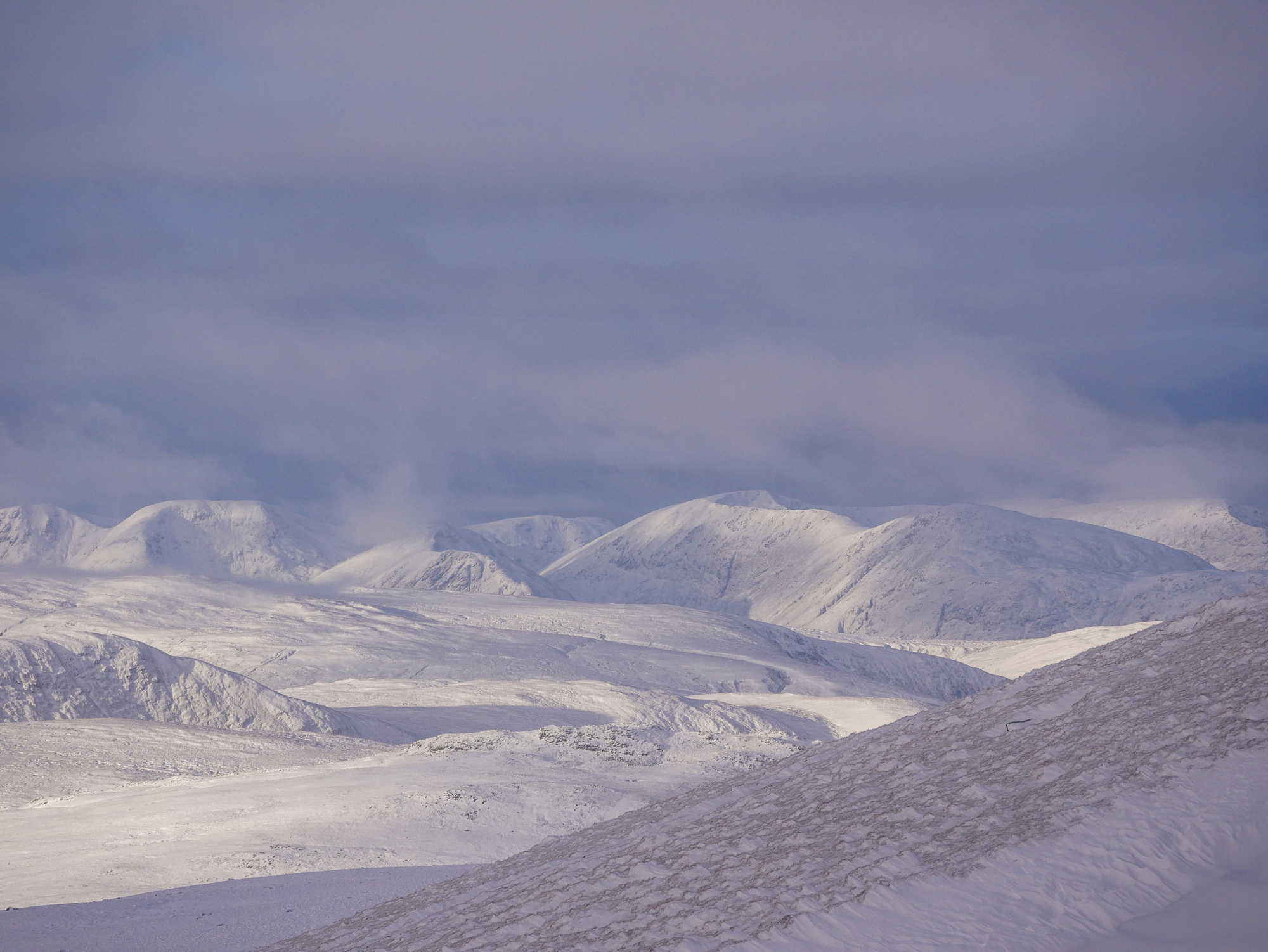
Looking through ‘The Window’ to the peaks of the Glengarry Forest to the north of Loch Lochy. On the right is Sron a’Choire Ghairbh and Sean Mheall. The flat topped ridge on the far right is Meall a’Choire Ghlais. On the left is Meall Coire Lochain and the summit in the centre is Meall Dubh. Note the localised snow distribution in the bottom right. Scoured grassy slopes with windslab deposits in the sheltered area, also showing the signs of erosion by the wind.

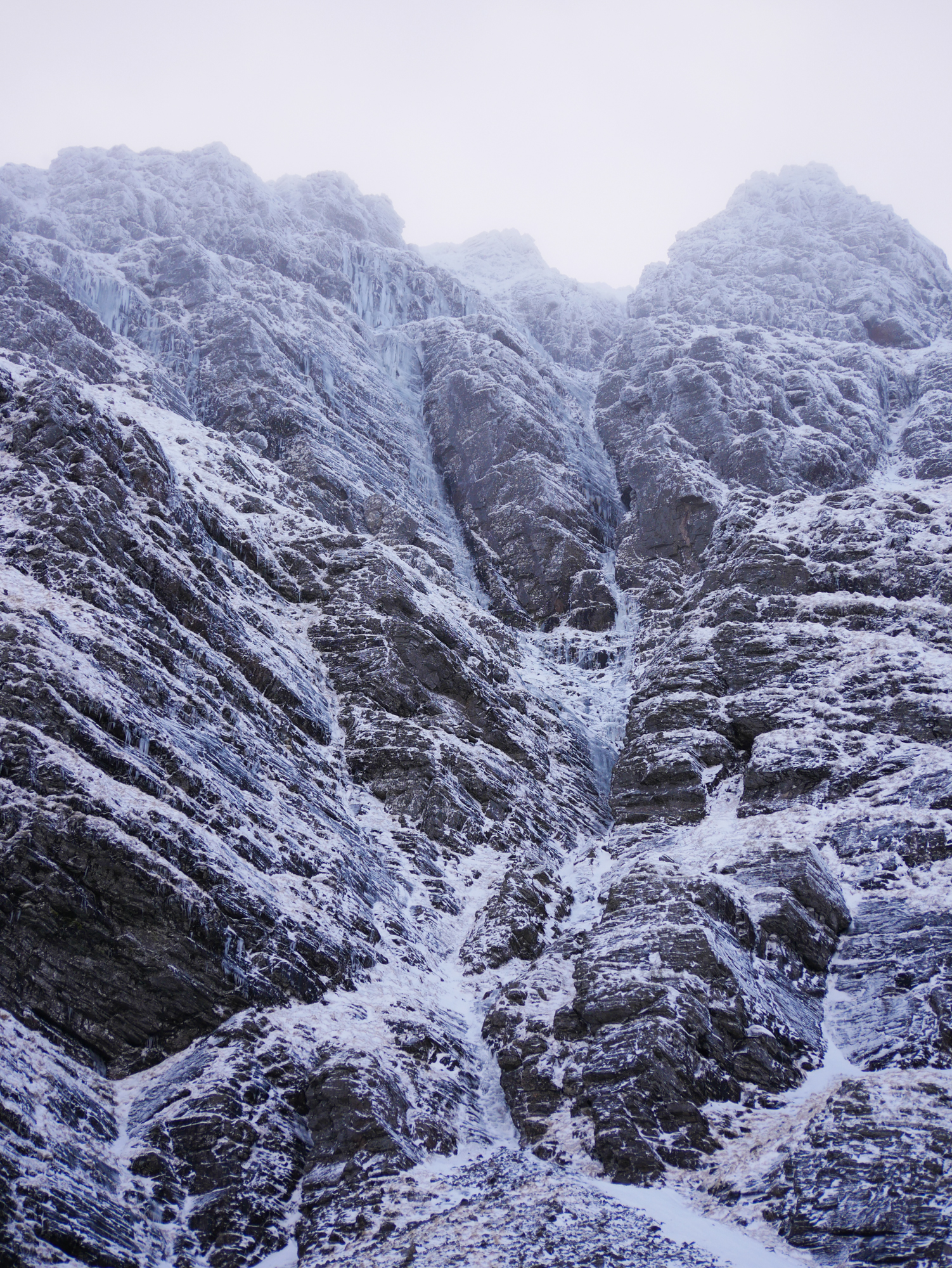
Far from optimum conditions. But ice building readily on these classic ice lines tucked away in the ‘Inner Corrie’. ‘The Wand’ V,5 (left) and ‘Diadem’ V,4 (right).

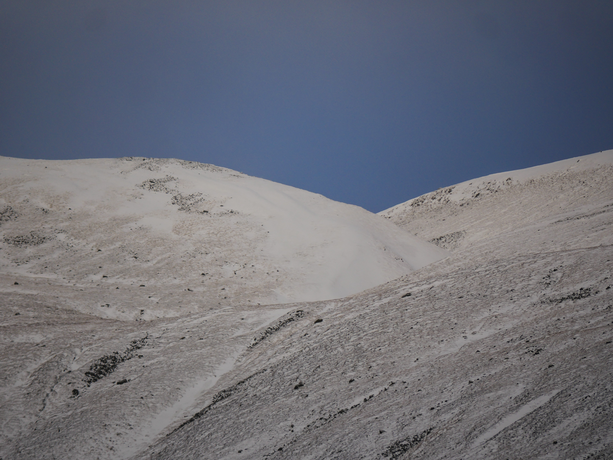
Localised snow accumulations on these slopes exposed to the wind. Note the accumulation in this steep sheltered terrain feature at around 900 metres. Elsewhere a dusting of snow lies in heather.
Comments on this post
Got something to say? Leave a comment


Ben
3rd January 2025 5:04 pm
Thanks again for these, The photo of the wand is especially a appreciated! 😉